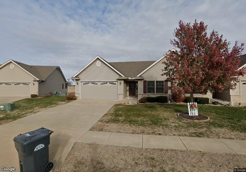
1724 Garrett Ave Clinton, IA 52732
Estimated Value: $258,722 - $313,000
2
Beds
2
Baths
1,380
Sq Ft
$207/Sq Ft
Est. Value
About This Home
This home is located at 1724 Garrett Ave, Clinton, IA 52732 and is currently estimated at $285,681, approximately $207 per square foot. 1724 Garrett Ave is a home located in Clinton County with nearby schools including Whittier Elementary School, Clinton Middle School, and Clinton High School.
Ownership History
Date
Name
Owned For
Owner Type
Purchase Details
Closed on
Dec 6, 2010
Sold by
Towne & Country Clinton Llc
Bought by
Klahn Allene L
Current Estimated Value
Home Financials for this Owner
Home Financials are based on the most recent Mortgage that was taken out on this home.
Original Mortgage
$150,000
Outstanding Balance
$98,563
Interest Rate
4.19%
Mortgage Type
Credit Line Revolving
Estimated Equity
$187,118
Create a Home Valuation Report for This Property
The Home Valuation Report is an in-depth analysis detailing your home's value as well as a comparison with similar homes in the area
Home Values in the Area
Average Home Value in this Area
Purchase History
| Date | Buyer | Sale Price | Title Company |
|---|---|---|---|
| Klahn Allene L | $209,000 | None Available |
Source: Public Records
Mortgage History
| Date | Status | Borrower | Loan Amount |
|---|---|---|---|
| Open | Klahn Allene L | $150,000 |
Source: Public Records
Tax History Compared to Growth
Tax History
| Year | Tax Paid | Tax Assessment Tax Assessment Total Assessment is a certain percentage of the fair market value that is determined by local assessors to be the total taxable value of land and additions on the property. | Land | Improvement |
|---|---|---|---|---|
| 2025 | $4,286 | $264,210 | $43,810 | $220,400 |
| 2024 | $4,286 | $240,550 | $43,810 | $196,740 |
| 2023 | $4,222 | $240,550 | $43,810 | $196,740 |
| 2022 | $4,304 | $205,800 | $39,270 | $166,530 |
| 2021 | $4,382 | $205,800 | $39,270 | $166,530 |
| 2020 | $4,382 | $198,380 | $34,970 | $163,410 |
| 2019 | $4,228 | $198,380 | $0 | $0 |
| 2018 | $4,104 | $198,380 | $0 | $0 |
| 2017 | $4,104 | $198,380 | $0 | $0 |
| 2016 | $4,084 | $0 | $0 | $0 |
| 2015 | $4,084 | $198,380 | $0 | $0 |
| 2014 | $4,102 | $198,380 | $0 | $0 |
| 2013 | $4,038 | $0 | $0 | $0 |
Source: Public Records
Map
Nearby Homes
- 1713 Garrett Ave
- 1708 Connor Ct
- 1709 Connor Ct
- 1500 12th Ave N
- 750 N 18th St
- 1145 N 14th St
- 1122 Galbraith Dr
- 1229 13th Ave N
- 1031 Galbraith Dr
- 1126 N 12th St
- 1222 Whittier Ct
- 915 N 12th St
- 1924 Zara Trace
- 1916 Zara Trace
- 1908 Zara Trace
- 1940 Zara Trace
- 981 9th Ave N
- 873 9th Ave N
- 885 9th Ave N
- 897 9th Ave N
- 1718 Garrett Ave
- 1730 Garrett Ave
- 1712 Garrett Ave
- 1736 Garrett Ave
- 1706 Garrett Ave
- 1719 Garrett Ave
- 1725 Garrett Ave
- 1700 Garrett Ave
- 1006 Alanah Ln
- 1707 Garrett Ave
- 1707 Garrett
- 1012 Alanah Ln
- 1660 Garrett Ave
- 1701 Garrett Ave
- 1661 Garrett
- 1000 Alanah Ln
- 1654 Garrett Ave
- 1716 Conor Ct
- 1655 Garrett Ave
- 930 Alanaha Ln