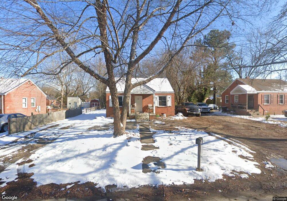
1725 Gross Ave Richmond, VA 23224
Cofer NeighborhoodEstimated Value: $137,000 - $192,000
2
Beds
1
Bath
725
Sq Ft
$232/Sq Ft
Est. Value
About This Home
This home is located at 1725 Gross Ave, Richmond, VA 23224 and is currently estimated at $168,331, approximately $232 per square foot. 1725 Gross Ave is a home located in Richmond City with nearby schools including Cardinal Elementary School, Richmond High School for the Arts, and Open High School.
Ownership History
Date
Name
Owned For
Owner Type
Purchase Details
Closed on
Feb 21, 1996
Bought by
Hensley William S and Hensley Gwendolyn M
Current Estimated Value
Home Financials for this Owner
Home Financials are based on the most recent Mortgage that was taken out on this home.
Original Mortgage
$19,350
Outstanding Balance
$635
Interest Rate
7.04%
Mortgage Type
VA
Estimated Equity
$167,696
Create a Home Valuation Report for This Property
The Home Valuation Report is an in-depth analysis detailing your home's value as well as a comparison with similar homes in the area
Home Values in the Area
Average Home Value in this Area
Purchase History
| Date | Buyer | Sale Price | Title Company |
|---|---|---|---|
| Hensley William S | -- | -- |
Source: Public Records
Mortgage History
| Date | Status | Borrower | Loan Amount |
|---|---|---|---|
| Open | Hensley William S | $19,350 |
Source: Public Records
Tax History Compared to Growth
Tax History
| Year | Tax Paid | Tax Assessment Tax Assessment Total Assessment is a certain percentage of the fair market value that is determined by local assessors to be the total taxable value of land and additions on the property. | Land | Improvement |
|---|---|---|---|---|
| 2025 | $1,560 | $130,000 | $54,000 | $76,000 |
| 2024 | $1,416 | $118,000 | $40,000 | $78,000 |
| 2023 | $1,356 | $113,000 | $40,000 | $73,000 |
| 2022 | $1,212 | $101,000 | $40,000 | $61,000 |
| 2021 | $936 | $80,000 | $25,000 | $55,000 |
| 2020 | $936 | $78,000 | $25,000 | $53,000 |
| 2019 | $876 | $73,000 | $25,000 | $48,000 |
| 2018 | $696 | $58,000 | $15,000 | $43,000 |
| 2017 | $696 | $58,000 | $15,000 | $43,000 |
| 2016 | $696 | $58,000 | $15,000 | $43,000 |
| 2015 | $696 | $58,000 | $15,000 | $43,000 |
| 2014 | $696 | $58,000 | $15,000 | $43,000 |
Source: Public Records
Map
Nearby Homes
- 1655 Hopkins Rd
- 3209 Kenyon Ave
- 1517 Bangle Dr
- 1237 Greystone Ave
- 4216 Sheffield Rd
- 3928 E Broad Rock Rd
- 4136 Mckay Ave
- 920 E Belt Blvd
- 3811 Terminal Ave
- 2107 Broad Rock Blvd
- 1519 Kingswood St
- 3601 Decatur St
- 3107 Logandale Ave
- 3105 1/2 Logandale Ave
- 801 Bedrock Ln
- 3205 Stockton St
- 3415 Decatur St
- 3057 Maury St
- 2721 Terminal Ave
- 3414 Hull St
- 1717 Gross Ave
- 1731 Gross Ave
- 1711 Gross Ave
- 1737 Gross Ave
- 3141 Maurice Ave
- 1745 Gross Ave
- 1724 Gross Ave
- 1730 Gross Ave
- 1718 Gross Ave
- 3137 Maurice Ave
- 3212 Cofer Rd
- 1712 Gross Ave
- 1736 Gross Ave
- 3208 Cofer Rd
- 1701 Gross Ave
- 3133 Maurice Ave
- 1753 Gross Ave
- 1706 Gross Ave
- 3204 Cofer Rd
- 1742 Gross Ave