Estimated Value: $246,122 - $367,000
3
Beds
2
Baths
1,836
Sq Ft
$166/Sq Ft
Est. Value
About This Home
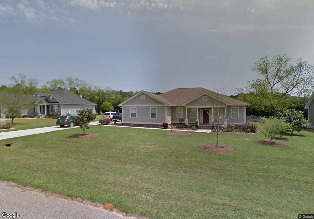
This home is located at 1725 Sterling Cir, Cairo, GA 39828 and is currently estimated at $305,281, approximately $166 per square foot. 1725 Sterling Cir is a home located in Grady County with nearby schools including Cairo High School.
Ownership History
Date
Name
Owned For
Owner Type
Purchase Details
Closed on
Jun 27, 2008
Sold by
Smith Lindsey
Bought by
Nielsen Erik
Current Estimated Value
Home Financials for this Owner
Home Financials are based on the most recent Mortgage that was taken out on this home.
Original Mortgage
$220,000
Outstanding Balance
$142,000
Interest Rate
6.08%
Mortgage Type
New Conventional
Estimated Equity
$163,281
Purchase Details
Closed on
Oct 25, 2006
Sold by
Coleman Clyde A
Bought by
Smith Lindsay M
Home Financials for this Owner
Home Financials are based on the most recent Mortgage that was taken out on this home.
Original Mortgage
$175,000
Interest Rate
6.27%
Mortgage Type
New Conventional
Purchase Details
Closed on
Jun 29, 2005
Sold by
Wolf Creek Hunters Llc
Bought by
Dmp Real Estate Inc
Purchase Details
Closed on
May 20, 2005
Sold by
Wto Llc
Bought by
Wolf Creek Hunters Llc
Purchase Details
Closed on
May 10, 2004
Sold by
Wto Llc
Bought by
Wolf Creek Hunters Llc
Create a Home Valuation Report for This Property
The Home Valuation Report is an in-depth analysis detailing your home's value as well as a comparison with similar homes in the area
Home Values in the Area
Average Home Value in this Area
Purchase History
| Date | Buyer | Sale Price | Title Company |
|---|---|---|---|
| Nielsen Erik | $220,000 | -- | |
| Smith Lindsay M | $222,500 | -- | |
| Dmp Real Estate Inc | $20,000 | -- | |
| Wolf Creek Hunters Llc | -- | -- | |
| Wolf Creek Hunters Llc | $135,800 | -- |
Source: Public Records
Mortgage History
| Date | Status | Borrower | Loan Amount |
|---|---|---|---|
| Open | Nielsen Erik | $220,000 | |
| Previous Owner | Smith Lindsay M | $175,000 |
Source: Public Records
Tax History Compared to Growth
Tax History
| Year | Tax Paid | Tax Assessment Tax Assessment Total Assessment is a certain percentage of the fair market value that is determined by local assessors to be the total taxable value of land and additions on the property. | Land | Improvement |
|---|---|---|---|---|
| 2024 | -- | $100,463 | $8,000 | $92,463 |
| 2023 | $0 | $74,498 | $4,800 | $69,698 |
| 2022 | $2,669 | $74,498 | $4,800 | $69,698 |
| 2021 | $2,669 | $74,498 | $4,800 | $69,698 |
| 2020 | $2,669 | $74,498 | $4,800 | $69,698 |
| 2019 | $2,669 | $74,498 | $4,800 | $69,698 |
| 2018 | $2,669 | $74,498 | $4,800 | $69,698 |
| 2017 | $0 | $74,498 | $4,800 | $69,698 |
| 2016 | -- | $63,718 | $4,800 | $58,918 |
| 2015 | -- | $70,118 | $11,200 | $58,918 |
| 2014 | $92 | $70,118 | $11,200 | $58,918 |
| 2013 | -- | $72,756 | $11,200 | $61,556 |
Source: Public Records
Map
Nearby Homes
- 130 17th Ave SE
- 198 Oakdale Rd SE
- 1854 Lakewood Dr SE
- 7501 111 S
- 1870 Oakdale Rd SE
- 1406 Platt Ave
- 75 14th Ave SE
- 1310 Stone Ave
- 1193 S Broad St
- 109 Oriac Ave SW
- 270 Muggridge Ln
- 140 Elderberry Ln
- 117 Pine Cir SW
- 530 6th St
- 112 Pine Cir SW
- 720 1st St SW
- 1217 Pine Park Rd
- 27 6th Ave SW
- 602 4th St SE
- 460 2nd St SW
- 1729 Sterling Cir
- 1721 Sterling Cir
- Lot # 7 Oak Bend Subdivision
- 15.7ACR 13th Ave Sw (Parcel 0053 0041)
- 1728 Sterling Cir
- 1733 Sterling Cir
- 0 Sterling Cir
- 0069C006 Sterling Cir
- 00 Mimosa Dr
- 112 Cakebread Dr
- 1717 Sterling Cir
- 112 Mimosa Dr
- 108 Mimosa Dr
- 107 Cakebread Dr
- 103 Mimosa Dr
- 104 Mimosa Dr
- 1714 Sterling Cir
- 103 Cakebread Dr
- 1809 S Broad St
- 1801 S Broad St