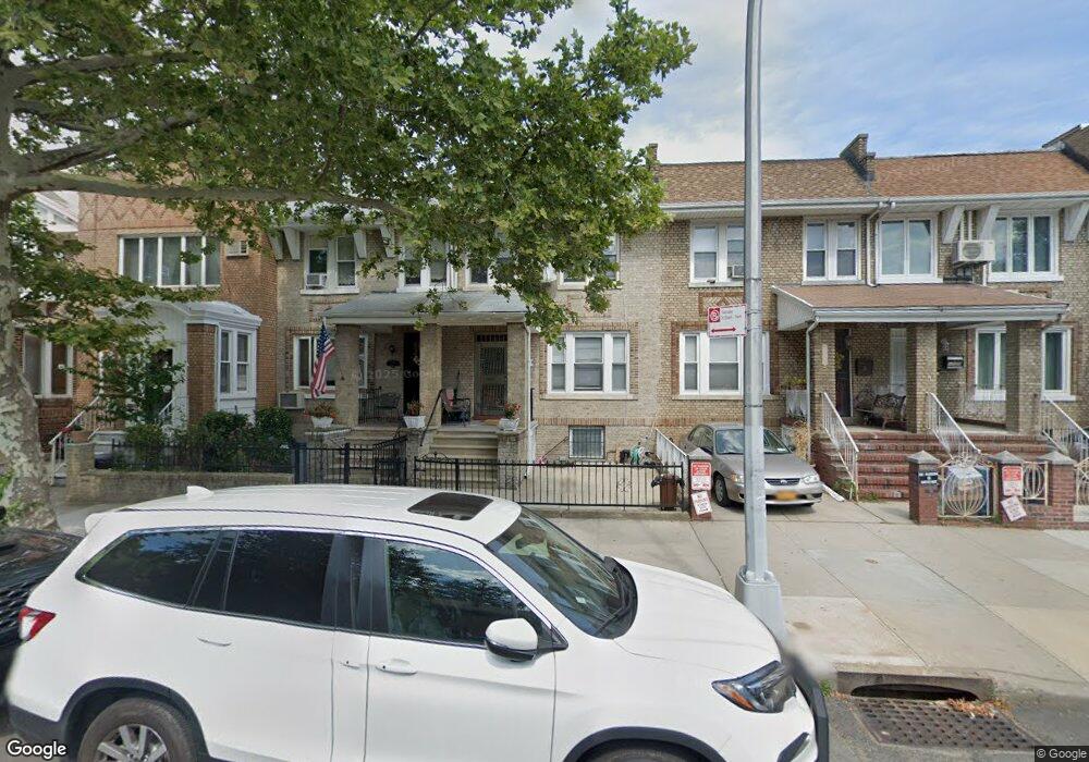
1725 W 10th St Brooklyn, NY 11223
Gravesend NeighborhoodEstimated Value: $878,307 - $1,142,000
--
Bed
--
Bath
1,368
Sq Ft
$771/Sq Ft
Est. Value
About This Home
This home is located at 1725 W 10th St, Brooklyn, NY 11223 and is currently estimated at $1,055,327, approximately $771 per square foot. 1725 W 10th St is a home located in Kings County with nearby schools including P.S. 97 - The Highlawn, Seth Low Intermediate School 96, and Success Academy Charter School - Bensonhurst.
Ownership History
Date
Name
Owned For
Owner Type
Purchase Details
Closed on
Jul 11, 2019
Sold by
Szeto Kuen and Szeto Mo Ling
Bought by
Szeto Duncan Hung and Szeto Solomon
Current Estimated Value
Purchase Details
Closed on
Nov 30, 1998
Sold by
Szeto Kuen
Bought by
Szeto Kuen and Szeto Mo Ling
Create a Home Valuation Report for This Property
The Home Valuation Report is an in-depth analysis detailing your home's value as well as a comparison with similar homes in the area
Home Values in the Area
Average Home Value in this Area
Purchase History
| Date | Buyer | Sale Price | Title Company |
|---|---|---|---|
| Szeto Duncan Hung | -- | -- | |
| Szeto Duncan Hung | -- | -- | |
| Szeto Kuen | -- | Chicago Title Insurance Co | |
| Szeto Kuen | -- | Chicago Title Insurance Co |
Source: Public Records
Tax History Compared to Growth
Tax History
| Year | Tax Paid | Tax Assessment Tax Assessment Total Assessment is a certain percentage of the fair market value that is determined by local assessors to be the total taxable value of land and additions on the property. | Land | Improvement |
|---|---|---|---|---|
| 2025 | $6,563 | $46,620 | $11,160 | $35,460 |
| 2024 | $6,563 | $53,040 | $11,160 | $41,880 |
| 2023 | $6,286 | $60,540 | $11,160 | $49,380 |
| 2022 | $2,118 | $56,280 | $11,160 | $45,120 |
| 2021 | $2,282 | $48,600 | $11,160 | $37,440 |
| 2020 | $1,711 | $55,020 | $11,160 | $43,860 |
| 2019 | $2,189 | $55,020 | $11,160 | $43,860 |
| 2018 | $1,970 | $25,795 | $5,446 | $20,349 |
| 2017 | $1,837 | $24,364 | $5,817 | $18,547 |
| 2016 | $1,707 | $23,288 | $6,427 | $16,861 |
| 2015 | $947 | $23,288 | $7,348 | $15,940 |
| 2014 | $947 | $22,690 | $8,586 | $14,104 |
Source: Public Records
Map
Nearby Homes
- 226 Kings Hwy
- 86 Quentin Rd
- 103 Quentin Rd Unit B503
- 133 Quentin Rd
- 60 Quentin Rd
- 104 Highlawn Ave
- 1664 W 8th St
- 1720 W 12th St
- 1714 W 12th St
- 1708 W 12th St
- 44 Quentin Rd
- 1801 W 8th St
- 290 Kings Hwy
- 1639 W 9th St
- 1683 W 7th St Unit 3A
- 1683 W 7th St Unit 4B
- 1683 W 7th St Unit 3B
- 1683 W 7th St Unit 2B
- 1683 W 7th St Unit 5-B
- 25 Quentin Rd