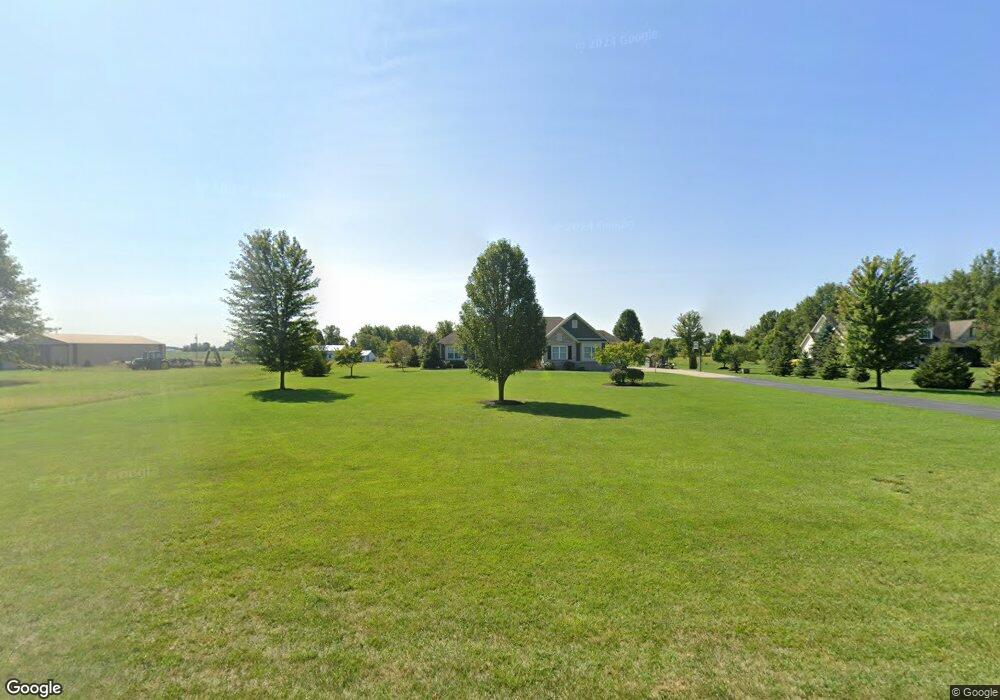
1725 W 216th St Sheridan, IN 46069
Estimated Value: $630,000 - $1,391,000
4
Beds
3
Baths
2,558
Sq Ft
$322/Sq Ft
Est. Value
About This Home
This home is located at 1725 W 216th St, Sheridan, IN 46069 and is currently estimated at $824,180, approximately $322 per square foot. 1725 W 216th St is a home located in Hamilton County with nearby schools including Monon Trail Elementary School, Westfield Intermediate School, and Westfield Middle School.
Ownership History
Date
Name
Owned For
Owner Type
Purchase Details
Closed on
Apr 20, 2007
Sold by
Overbey Wayne and Overbey Kathleen B
Bought by
Kinney Brian M and Kinney Leigh Ann
Current Estimated Value
Purchase Details
Closed on
Nov 20, 2006
Sold by
Schaefer Kurt W and Schaefer Christina H
Bought by
Overbey Wayne and Overbey Kathleen B
Create a Home Valuation Report for This Property
The Home Valuation Report is an in-depth analysis detailing your home's value as well as a comparison with similar homes in the area
Home Values in the Area
Average Home Value in this Area
Purchase History
| Date | Buyer | Sale Price | Title Company |
|---|---|---|---|
| Kinney Brian M | -- | None Available | |
| Overbey Wayne | -- | None Available |
Source: Public Records
Tax History Compared to Growth
Tax History
| Year | Tax Paid | Tax Assessment Tax Assessment Total Assessment is a certain percentage of the fair market value that is determined by local assessors to be the total taxable value of land and additions on the property. | Land | Improvement |
|---|---|---|---|---|
| 2024 | $4,308 | $440,400 | $49,700 | $390,700 |
| 2023 | $4,348 | $410,500 | $48,900 | $361,600 |
| 2022 | $4,092 | $371,500 | $48,100 | $323,400 |
| 2021 | $3,820 | $323,200 | $47,600 | $275,600 |
| 2020 | $3,730 | $310,700 | $47,600 | $263,100 |
| 2019 | $4,038 | $334,300 | $28,200 | $306,100 |
| 2018 | $4,019 | $327,400 | $28,300 | $299,100 |
| 2017 | $3,561 | $313,100 | $28,800 | $284,300 |
| 2016 | $3,545 | $311,400 | $29,000 | $282,400 |
| 2014 | $3,401 | $296,600 | $29,200 | $267,400 |
| 2013 | $3,401 | $291,000 | $28,600 | $262,400 |
Source: Public Records
Map
Nearby Homes
- 1910 W 211th St
- 20902 Freemont Moore Rd
- 2335 W 211th St
- 0 (Parcel 2) Freemont Moore Rd
- 19975 & 19855 Freemont Moore (Package) Rd
- 20361 Hudson Bay Ln
- 20330 Hudson Bay Ln
- 19855 Freemont Moore (Residential) Rd
- 19975 Freemont Moore (Land) Rd
- 20246 Hudson Bay Ln
- 20401 Atchison Way
- 20231 N Pacific Ave
- 20235 Atchison Way
- 19774 Highclere Ln
- 19761 Highclere Ln
- 19749 Highclere Ln
- 23455 Lamong Rd
- 0 E 214th St
- 335 Ehrlich Ln
- Bradford Plan at Atwater - Paired Villas
- 1747 W 216th St
- 1705 W 216th St
- 21444 Freemont Moore Rd
- 1817 W 216th St
- 21444 Freemont Moore Rd
- 21622 Freemont Moore Rd
- 1889 W 216th St
- 1683 W 216th St
- 21416 Freemont Moore Rd
- 1535 W 216th St
- 21691 Freemont Moore Rd
- 1980 W 216th St
- 21296 Freemont Moore Rd
- 21293 Freemont Moore Rd
- 21820 Freemont Moore Rd
- 21204 Freemont Moore Rd
- 21122 Freemont Moore Rd
- 21287 Lamong Rd
- 21924 Freemont Moore Rd
- 1857 W 221st St
