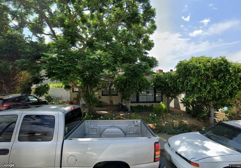
1726 10th St Manhattan Beach, CA 90266
Estimated Value: $2,212,378 - $3,505,000
5
Beds
2
Baths
2,375
Sq Ft
$1,204/Sq Ft
Est. Value
About This Home
This home is located at 1726 10th St, Manhattan Beach, CA 90266 and is currently estimated at $2,859,345, approximately $1,203 per square foot. 1726 10th St is a home located in Los Angeles County with nearby schools including Aurelia Pennekamp Elementary School, Manhattan Beach Middle School, and Mira Costa High School.
Ownership History
Date
Name
Owned For
Owner Type
Purchase Details
Closed on
Aug 1, 2007
Sold by
Bactat Hector and Bactat Manuel
Bought by
Bactat Hector
Current Estimated Value
Home Financials for this Owner
Home Financials are based on the most recent Mortgage that was taken out on this home.
Original Mortgage
$417,000
Outstanding Balance
$263,889
Interest Rate
6.65%
Mortgage Type
New Conventional
Estimated Equity
$2,595,456
Purchase Details
Closed on
Feb 25, 2005
Sold by
Franco Gregoria C and Bactat Gregoria C
Bought by
Franco Gregoria C
Home Financials for this Owner
Home Financials are based on the most recent Mortgage that was taken out on this home.
Original Mortgage
$469,342
Interest Rate
4.63%
Mortgage Type
Reverse Mortgage Home Equity Conversion Mortgage
Purchase Details
Closed on
Mar 29, 1982
Sold by
Kravitz Alvin S and Kravitz Jo Ann M
Bought by
Bactat Gregoria C
Create a Home Valuation Report for This Property
The Home Valuation Report is an in-depth analysis detailing your home's value as well as a comparison with similar homes in the area
Home Values in the Area
Average Home Value in this Area
Purchase History
| Date | Buyer | Sale Price | Title Company |
|---|---|---|---|
| Bactat Hector | -- | Stewart Title Of California | |
| Bactat Manuel | -- | Stewart Title Of California | |
| Franco Gregoria C | -- | Alliance Title | |
| Bactat Gregoria C | -- | -- |
Source: Public Records
Mortgage History
| Date | Status | Borrower | Loan Amount |
|---|---|---|---|
| Open | Bactat Hector | $417,000 | |
| Closed | Franco Gregoria C | $469,342 |
Source: Public Records
Tax History Compared to Growth
Tax History
| Year | Tax Paid | Tax Assessment Tax Assessment Total Assessment is a certain percentage of the fair market value that is determined by local assessors to be the total taxable value of land and additions on the property. | Land | Improvement |
|---|---|---|---|---|
| 2025 | $10,837 | $946,568 | $893,757 | $52,811 |
| 2024 | $10,837 | $928,009 | $876,233 | $51,776 |
| 2023 | $10,510 | $909,813 | $859,052 | $50,761 |
| 2022 | $10,330 | $891,974 | $842,208 | $49,766 |
| 2021 | $10,181 | $874,486 | $825,695 | $48,791 |
| 2019 | $9,910 | $848,550 | $801,205 | $47,345 |
| 2018 | $9,684 | $831,913 | $785,496 | $46,417 |
| 2016 | $9,088 | $799,611 | $754,996 | $44,615 |
| 2015 | $8,903 | $787,601 | $743,656 | $43,945 |
| 2014 | $8,788 | $772,174 | $729,089 | $43,085 |
Source: Public Records
Map
Nearby Homes
- 1760 9th St
- 1757 8th St
- 1816 9th St
- 1820 9th St
- 1833 8th St
- 1716 6th St
- 1534 Manhattan Beach Blvd
- 1643 3rd St
- 1505 11th St
- 3202 Green Ln
- 2012 Manhattan Beach Blvd Unit 2
- 1706 2nd St
- 1436 Manhattan Beach Blvd
- 1440 12th St Unit C
- 2700 Aviation Blvd
- 3310 Blossom Ln
- 1421 12th St Unit 1
- 1635 19th St
- 207 S Aviation Blvd
- 1902 Gates Ave