1726 E Path Cotopaxi, CO 81223
Estimated Value: $298,000 - $418,000
3
Beds
2
Baths
1,802
Sq Ft
$201/Sq Ft
Est. Value
About This Home
This home is located at 1726 E Path, Cotopaxi, CO 81223 and is currently estimated at $361,667, approximately $200 per square foot. 1726 E Path is a home located in Fremont County with nearby schools including Cotopaxi Elementary School and Cotopaxi Junior/Senior High School.
Ownership History
Date
Name
Owned For
Owner Type
Purchase Details
Closed on
Feb 21, 2006
Sold by
Phh Mortgage Corp
Bought by
Landry Jeff
Current Estimated Value
Purchase Details
Closed on
Feb 7, 2006
Sold by
Federal National Mortgage Association
Bought by
Phh Mortgage Corp
Purchase Details
Closed on
Jun 6, 2005
Sold by
Lano Scott E
Bought by
Federal National Mortgage Association
Purchase Details
Closed on
Feb 15, 2001
Sold by
Hetterscheidt
Bought by
Lane
Purchase Details
Closed on
Jan 8, 1997
Sold by
Weeks
Bought by
Hetterscheidt
Create a Home Valuation Report for This Property
The Home Valuation Report is an in-depth analysis detailing your home's value as well as a comparison with similar homes in the area
Purchase History
| Date | Buyer | Sale Price | Title Company |
|---|---|---|---|
| Landry Jeff | $38,500 | None Available | |
| Phh Mortgage Corp | -- | None Available | |
| Federal National Mortgage Association | -- | None Available | |
| Lane | $83,900 | -- | |
| Hetterscheidt | $57,000 | -- |
Source: Public Records
Tax History
| Year | Tax Paid | Tax Assessment Tax Assessment Total Assessment is a certain percentage of the fair market value that is determined by local assessors to be the total taxable value of land and additions on the property. | Land | Improvement |
|---|---|---|---|---|
| 2024 | $725 | $15,060 | $0 | $0 |
| 2023 | $537 | $10,961 | $0 | $0 |
| 2022 | $443 | $9,431 | $0 | $0 |
| 2021 | $446 | $9,703 | $0 | $0 |
| 2020 | $387 | $8,581 | $0 | $0 |
| 2019 | $386 | $8,581 | $0 | $0 |
| 2018 | $329 | $7,295 | $0 | $0 |
| 2017 | $330 | $7,295 | $0 | $0 |
| 2016 | $344 | $7,630 | $0 | $0 |
| 2015 | $343 | $7,630 | $0 | $0 |
| 2012 | $336 | $8,181 | $796 | $7,385 |
Source: Public Records
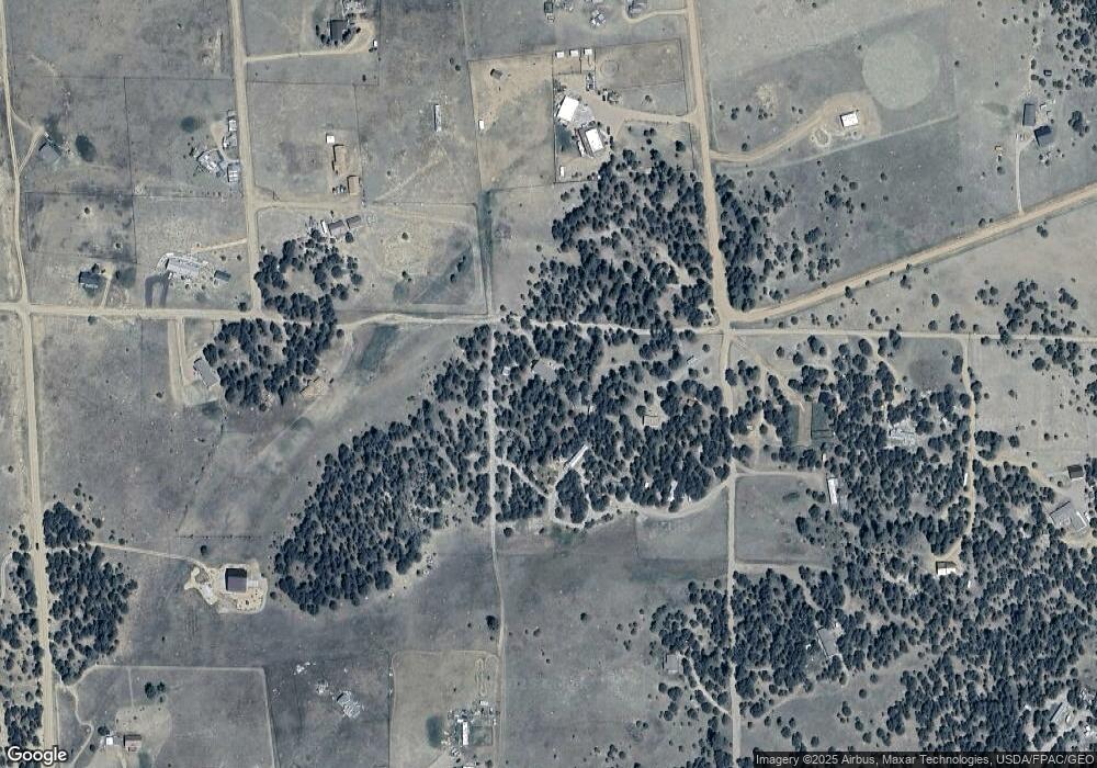
Map
Nearby Homes
- 1012 17th Trail
- 395 Gibbons Trailway
- 547 Blazing Saddle Trail
- 763 17th Trail
- 474 Deer Run Dr
- TBD G Path
- 0 G Path
- 763 15th Trail
- 1048 Blazing Saddle Trail
- 0 County Road 28 Unit 24376279
- TR-1 G Path
- 44th Trail G Path
- 0 Tbd Vacant Land Unit 2517535
- 464 Burro Back Ct
- 639 15th Trail
- 1839 15th Trail
- 863 15th Trail
- 876 Coyote Unit 8
- TBD L 7th Trail
- 739 17th Trail
- 69 Blazing Saddle Trail
- 1800 Cr 13
- 00 County Rd 15 Unit MB
- 00 County Rd 15
- 538 17th Trail
- 513 Blazing Saddle Trail
- Lot 14 Prayer Mtn Pass
- Lot 9 Prayer Mtn Pass
- Lot 11 Prayer Mtn Pass
- Lot 8 Prayer Mtn Pass
- Lot 3 Prayer Mountain Pass
- Lot 2 Prayer Mountain Pass
- Lot 1 Prayer Mountain Pass
- Lot 13 Prayer Mtn Pass
- Lot 12 Prayer Mtn Pass
- Lot 15 Prayer Mtn Pass
- Lot 16 Prayer Mtn Pass
- Lot 17 Prayer Mtn Pass
- Out lot Prayer Mtn Pass
- Lot 10 Prayer Mtn Pass
Your Personal Tour Guide
Ask me questions while you tour the home.