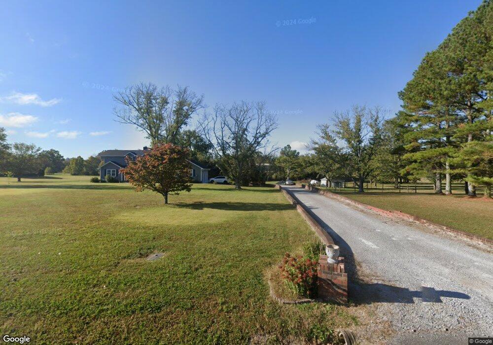
1726 Highway 130 E Shelbyville, TN 37160
Estimated Value: $586,766 - $1,379,000
--
Bed
3
Baths
3,460
Sq Ft
$245/Sq Ft
Est. Value
About This Home
This home is located at 1726 Highway 130 E, Shelbyville, TN 37160 and is currently estimated at $847,442, approximately $244 per square foot. 1726 Highway 130 E is a home located in Bedford County with nearby schools including Liberty Elementary School.
Ownership History
Date
Name
Owned For
Owner Type
Purchase Details
Closed on
Apr 13, 2009
Sold by
Rwst
Bought by
Sands Rosalyn Wensinger Truste
Current Estimated Value
Purchase Details
Closed on
Oct 2, 2008
Sold by
Canter Jacqueline C
Bought by
Rwst
Purchase Details
Closed on
Jun 23, 1997
Sold by
King Jacqueline Canter
Bought by
King Jacqueline C
Purchase Details
Closed on
Jan 26, 1994
Sold by
King Gary R
Bought by
King Facqueline Carter
Purchase Details
Closed on
Sep 13, 1988
Bought by
King Gary R and King Jackie C
Create a Home Valuation Report for This Property
The Home Valuation Report is an in-depth analysis detailing your home's value as well as a comparison with similar homes in the area
Home Values in the Area
Average Home Value in this Area
Purchase History
| Date | Buyer | Sale Price | Title Company |
|---|---|---|---|
| Sands Rosalyn Wensinger Truste | -- | -- | |
| Rwst | $485,000 | -- | |
| King Jacqueline C | -- | -- | |
| King Facqueline Carter | -- | -- | |
| King Gary R | $3,500 | -- |
Source: Public Records
Tax History Compared to Growth
Tax History
| Year | Tax Paid | Tax Assessment Tax Assessment Total Assessment is a certain percentage of the fair market value that is determined by local assessors to be the total taxable value of land and additions on the property. | Land | Improvement |
|---|---|---|---|---|
| 2025 | $2,831 | $121,750 | $0 | $0 |
| 2024 | $2,831 | $121,750 | $21,550 | $100,200 |
| 2023 | $2,831 | $121,750 | $21,550 | $100,200 |
| 2022 | $2,831 | $121,750 | $21,550 | $100,200 |
| 2021 | $2,393 | $121,750 | $21,550 | $100,200 |
| 2020 | $2,504 | $121,750 | $21,550 | $100,200 |
| 2019 | $2,504 | $94,150 | $16,025 | $78,125 |
| 2018 | $2,410 | $94,150 | $16,025 | $78,125 |
| 2017 | $2,410 | $94,150 | $16,025 | $78,125 |
| 2016 | $2,373 | $94,150 | $16,025 | $78,125 |
| 2015 | $2,373 | $94,150 | $16,025 | $78,125 |
| 2014 | $1,779 | $78,363 | $0 | $0 |
Source: Public Records
Map
Nearby Homes
- 0 Himesville Rd
- 0 Highway 130 E
- 1519 Highway 130 E
- 231 Riverbend Country Club Rd
- 209 Gladys Dr
- 339 Riverbend Country Club Rd
- 455 Himesville Rd
- 495 Himesville Rd
- 201 Sulphur Springs Rd
- 1413 Highway 130 E
- 128 Riverlake Rd
- 119 Crestland Cir
- 148 Maupin Cir
- 1725 Wartrace Pike
- 315 Woodland Dr
- 1024 Tennessee 64
- 215 Coney Island Rd
- 1404 Cypress St
- 102 Germantown Rd
- 104 Townsend Ave
- 1720 Highway 130 E
- 1732 Highway 130 E
- 1732 Tennessee 130
- 1740 Highway 130 E
- 1742 Highway 130 E
- 1714 Highway 130 E
- 1721 Highway 130 E
- 142 Himesville Rd
- 1744 Highway 130 E
- 1744 Tennessee 130
- 1725 Highway 130 E
- 1710 Tennessee 130
- 110 Himesville Rd
- 125 Cedar Creek Estate
- 151 Cedar Creek Estate
- 131 Cedar Creek Estate
- 1705 Highway 130 E
- 115 Himesville Rd
- 115 Himesville Rd
- 135 Cedar Creek Estate