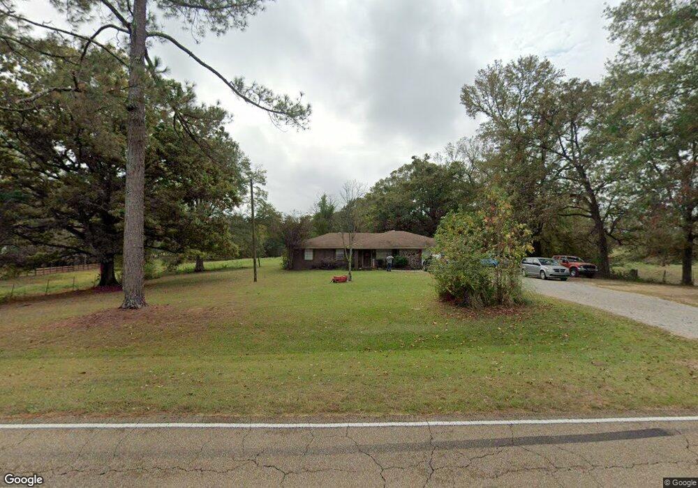
1726 Wade Patrick Rd Braxton, MS 39044
Estimated Value: $319,000
3
Beds
2
Baths
1,707
Sq Ft
$187/Sq Ft
Est. Value
About This Home
This home is located at 1726 Wade Patrick Rd, Braxton, MS 39044 and is currently estimated at $319,000, approximately $186 per square foot. 1726 Wade Patrick Rd is a home located in Rankin County with nearby schools including Puckett Elementary School and Puckett High School.
Ownership History
Date
Name
Owned For
Owner Type
Purchase Details
Closed on
Dec 21, 2016
Sold by
Weathersby Calvin
Bought by
Thomas William J and Thomas Kellie S
Current Estimated Value
Purchase Details
Closed on
May 23, 2013
Sold by
Thomas William Justin
Bought by
Thomas William Justin and Thomas Kellie
Purchase Details
Closed on
Dec 28, 2006
Sold by
Alphonso Jackson Secretary Of Housing A
Bought by
Thomas William Justin
Home Financials for this Owner
Home Financials are based on the most recent Mortgage that was taken out on this home.
Original Mortgage
$94,544
Interest Rate
6.06%
Create a Home Valuation Report for This Property
The Home Valuation Report is an in-depth analysis detailing your home's value as well as a comparison with similar homes in the area
Purchase History
| Date | Buyer | Sale Price | Title Company |
|---|---|---|---|
| Thomas William J | -- | None Available | |
| Thomas William Justin | -- | -- | |
| Thomas William Justin | -- | -- |
Source: Public Records
Mortgage History
| Date | Status | Borrower | Loan Amount |
|---|---|---|---|
| Previous Owner | Thomas William Justin | $94,544 |
Source: Public Records
Tax History
| Year | Tax Paid | Tax Assessment Tax Assessment Total Assessment is a certain percentage of the fair market value that is determined by local assessors to be the total taxable value of land and additions on the property. | Land | Improvement |
|---|---|---|---|---|
| 2024 | $257 | $2,607 | $0 | $0 |
| 2023 | $257 | $2,607 | $0 | $0 |
| 2022 | $630 | $9,570 | $0 | $0 |
| 2021 | $565 | $8,896 | $0 | $0 |
| 2020 | $565 | $8,896 | $0 | $0 |
| 2019 | $502 | $8,026 | $0 | $0 |
| 2018 | $486 | $8,026 | $0 | $0 |
| 2017 | $486 | $8,026 | $0 | $0 |
| 2016 | $463 | $8,209 | $0 | $0 |
| 2015 | $463 | $8,209 | $0 | $0 |
| 2014 | $446 | $8,209 | $0 | $0 |
| 2013 | -- | $8,209 | $0 | $0 |
Source: Public Records
Map
Nearby Homes
- 1105 Rock Hill Rd
- 0 Easy St
- 0 Saint John Rd Unit 4140000
- 0 Bill Hubbard Rd Unit 26421084
- 1100 Rock Hill Rd
- 0 Bill Hubbard Rd
- 128 Oak Tree Ln
- Clara Foote Rd
- 1264 Shell Oil Rd
- J05 Red Light Rd
- Johns Shilow Rd
- 329 County Line Rd
- 4167 Highway 18
- 0 Clara Foote Rd
- 0 Ashley Rd Unit 20288528
- 0 Ashley Rd Unit 11613506
- 00 Ashley Rd
- 00 Johns Shiloh Rd
- 0 Donna Ashley St
- 0 Joe Davis Dr
- 1742 Wade Patrick Rd
- 1699 Wade Patrick Rd
- 1013 Rock Hill Rd
- 117 St John Rd
- 0 Rock Hill Rd
- 1780 Wade Patrick Rd
- 133 St John Rd
- 140 St John Rd
- 1012 Rock Hill Rd
- 1785 Wade Patrick Rd
- 1787 Wade Patrick Rd
- 966 Rock Hill Rd
- 169 St John Rd
- 1653 Wade Patrick Rd
- 1679 Wade Patrick Rd
- 947 Rock Hill Rd
- 198 St John Rd
- 199 St John Rd
- 1609 Wade Patrick Rd
- 901 Rock Hill Rd
Your Personal Tour Guide
Ask me questions while you tour the home.