17261 325th Ln Hamburg, MN 55339
Estimated Value: $454,000 - $1,664,107
--
Bed
--
Bath
--
Sq Ft
98
Acres
About This Home
This home is located at 17261 325th Ln, Hamburg, MN 55339 and is currently estimated at $1,059,054. 17261 325th Ln is a home located in Sibley County with nearby schools including Central Elementary School, Central Middle School, and Central Senior High School.
Ownership History
Date
Name
Owned For
Owner Type
Purchase Details
Closed on
Jan 31, 2024
Sold by
Kroells Margie and Kroells Daniel
Bought by
Patricia E Lenzen Revocable Trust and Mark E Lenzen Revocable Trust
Current Estimated Value
Home Financials for this Owner
Home Financials are based on the most recent Mortgage that was taken out on this home.
Original Mortgage
$259,000
Outstanding Balance
$254,423
Interest Rate
6.61%
Mortgage Type
New Conventional
Estimated Equity
$804,631
Create a Home Valuation Report for This Property
The Home Valuation Report is an in-depth analysis detailing your home's value as well as a comparison with similar homes in the area
Home Values in the Area
Average Home Value in this Area
Purchase History
| Date | Buyer | Sale Price | Title Company |
|---|---|---|---|
| Patricia E Lenzen Revocable Trust | $260,000 | -- |
Source: Public Records
Mortgage History
| Date | Status | Borrower | Loan Amount |
|---|---|---|---|
| Open | Patricia E Lenzen Revocable Trust | $259,000 |
Source: Public Records
Tax History Compared to Growth
Tax History
| Year | Tax Paid | Tax Assessment Tax Assessment Total Assessment is a certain percentage of the fair market value that is determined by local assessors to be the total taxable value of land and additions on the property. | Land | Improvement |
|---|---|---|---|---|
| 2025 | $7,246 | $1,416,400 | $948,200 | $468,200 |
| 2024 | $7,246 | $1,402,400 | $1,010,000 | $392,400 |
| 2023 | $7,296 | $1,481,300 | $1,124,200 | $357,100 |
| 2022 | $7,332 | $1,186,700 | $894,000 | $292,700 |
| 2021 | $5,334 | $1,005,300 | $712,600 | $292,700 |
| 2020 | $6,124 | $976,800 | $712,600 | $264,200 |
| 2019 | $4,858 | $938,200 | $0 | $0 |
| 2018 | $4,702 | $872,800 | $0 | $0 |
| 2017 | $6,702 | $872,800 | $0 | $0 |
| 2016 | $6,446 | $939,900 | $0 | $0 |
| 2015 | $6,332 | $0 | $0 | $0 |
| 2014 | $6,064 | $0 | $0 | $0 |
Source: Public Records
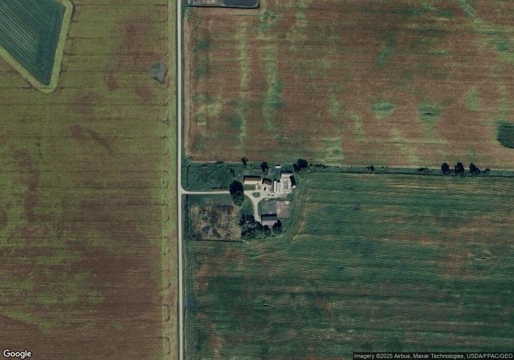
Map
Nearby Homes
- 435 Gloria Ave
- 13620 County Road 33
- 13xxx County Road 31
- 205 South Ln
- 140 Lake Erin Dr
- 14470 Highway 5 & 25 S
- 395 Lake Erin Dr
- 190 Cleveland Ave
- 200 Cleveland Ave
- 420 Main St
- 211 Reform St S
- 139 Elm St E
- 425 Elm St W
- 625 Railroad Dr
- 630 Railroad Dr
- 610-620 Railroad Dr
- xxxx Tacoma Ave
- XXX County Road 51
- 915 Harmony Path
- 16810 County Road 31
- 32543 170th St
- 32543 32543 170th-Street-
- 17481 325th Ln
- 32554 170th St
- 31959 170th St
- 32272 180th St
- 174x 321st Ave
- 175x 321st Ave
- 17335 321st Ave
- 17335 321st Ave
- 17335 321st Ave
- 16811 321st Ave
- 16811 321st Ave
- 17729 331st Ave
- 17729 331st Ave
- 40599 170th St
- 32274 180th St
- 16865 331st Ave
- 16783 331st Ave
- 17173 331st Ave