172611 Territory Ln Duncan, OK 73533
Estimated Value: $775,000 - $1,324,599
8
Beds
10
Baths
6,768
Sq Ft
$155/Sq Ft
Est. Value
About This Home
This home is located at 172611 Territory Ln, Duncan, OK 73533 and is currently estimated at $1,049,800, approximately $155 per square foot. 172611 Territory Ln is a home with nearby schools including Empire High School.
Ownership History
Date
Name
Owned For
Owner Type
Purchase Details
Closed on
Oct 23, 2012
Sold by
Investors Trust Co
Bought by
Investors Trust Co and Jackson C Bnraught Revocable Trust
Current Estimated Value
Purchase Details
Closed on
Mar 29, 2010
Sold by
Oil City Development Llc
Bought by
Braught John R and Braught Barbara M
Home Financials for this Owner
Home Financials are based on the most recent Mortgage that was taken out on this home.
Original Mortgage
$2,003,965
Interest Rate
4.93%
Mortgage Type
Unknown
Create a Home Valuation Report for This Property
The Home Valuation Report is an in-depth analysis detailing your home's value as well as a comparison with similar homes in the area
Home Values in the Area
Average Home Value in this Area
Purchase History
| Date | Buyer | Sale Price | Title Company |
|---|---|---|---|
| Investors Trust Co | -- | None Available | |
| Braught John R | -- | None Available |
Source: Public Records
Mortgage History
| Date | Status | Borrower | Loan Amount |
|---|---|---|---|
| Previous Owner | Braught John R | $2,003,965 |
Source: Public Records
Tax History Compared to Growth
Tax History
| Year | Tax Paid | Tax Assessment Tax Assessment Total Assessment is a certain percentage of the fair market value that is determined by local assessors to be the total taxable value of land and additions on the property. | Land | Improvement |
|---|---|---|---|---|
| 2024 | $12,195 | $128,105 | $17,111 | $110,994 |
| 2023 | $11,615 | $128,105 | $17,111 | $110,994 |
| 2022 | $11,040 | $122,005 | $17,111 | $104,894 |
| 2021 | $10,556 | $110,662 | $17,111 | $93,551 |
| 2020 | $12,273 | $128,096 | $17,111 | $110,985 |
| 2019 | $12,035 | $121,996 | $17,111 | $104,885 |
| 2018 | $12,131 | $123,078 | $17,111 | $105,967 |
| 2017 | $13,537 | $134,041 | $22,656 | $111,385 |
| 2016 | $13,942 | $139,905 | $11,328 | $128,577 |
| 2015 | $14,632 | $137,961 | $9,384 | $128,577 |
| 2014 | $14,632 | $131,391 | $1,336 | $130,055 |
Source: Public Records
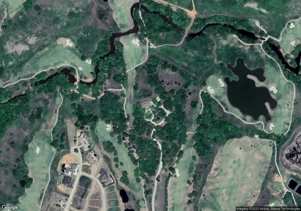
Map
Nearby Homes
- 172789 Trail Side Dr
- B1L4A Trail Side Dr
- B2L5 Trail Side Dr
- B3L9 Prospectors Ridge Dr
- B4 L11 Prospectors Ridge Dr
- 278045 278045 Hidden Creek Dr
- 172572 172572 Pleasant View Ln
- 174085 N 2770 Rd
- 0000 N 58th St Unit D
- 7492 7492 W Seminole Rd
- 1317 S 58th St
- 2086 N 44th St
- 0002 W Beech Ave Unit C
- 0001 W Beech Ave Unit B
- 0000 W Beech Ave Unit A
- 2149 2149 Patty Ln
- 3421 Salter St
- 2150 Drexal Place
- 1385 Smith Rd
- 1359 Smith Rd
- 172740 Trail Side Dr
- 620 Trail Unit Dr
- 620 Trail Side Dr
- 620 Trail Side Dr Unit Drive
- 620 Trail Side Dr Unit Dr
- 618 Trail Side Dr
- 605 Trail Side Dr
- 608 Trail Side Dr
- 608 Trail Side Dr
- 607 Trail Side Dr
- 612 Trail Side Dr
- 606 Trail Side Dr
- 606 Trail Side Dr Unit Dr
- 604 Trail Side Dr
- 604 Trail Side Dr Unit Dr.
- 611 Prospectors Ridge Dr
- 172741 Prospectors Ridge Dr
- 602 Trail Side Dr
- 172717 Prospector's Ridge Dr
- 502 Prospector's Ridge Dr