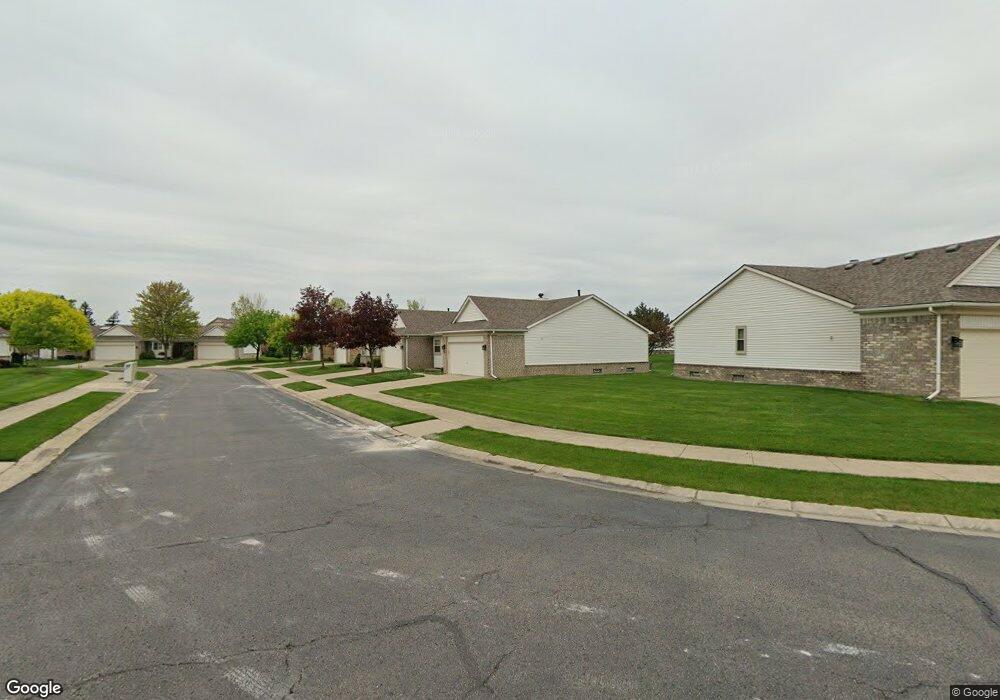
17266 Mayfield Dr Macomb, MI 48042
Estimated Value: $203,000 - $303,000
--
Bed
1
Bath
1,090
Sq Ft
$242/Sq Ft
Est. Value
About This Home
This home is located at 17266 Mayfield Dr, Macomb, MI 48042 and is currently estimated at $264,208, approximately $242 per square foot. 17266 Mayfield Dr is a home located in Macomb County with nearby schools including Sequoyah Elementary School, Iroquois Middle School, and Dakota High School.
Ownership History
Date
Name
Owned For
Owner Type
Purchase Details
Closed on
Jul 20, 2023
Sold by
Carol A Romanoski Revocable Inheritance
Bought by
Allen Sheri L
Current Estimated Value
Purchase Details
Closed on
Dec 10, 2014
Sold by
Romanoski Carol A
Bought by
Romanoski Carol A and Carol A Romanoski Revocable Inheritance
Purchase Details
Closed on
Oct 9, 2014
Sold by
Romanoski Carol A and Kipke Geraldine
Bought by
Romanoski Carol A and The Carol A Romanoski Revocable Inherita
Purchase Details
Closed on
Dec 1, 2000
Sold by
Sobick Nicole M
Bought by
Doman Evelyn Trust
Create a Home Valuation Report for This Property
The Home Valuation Report is an in-depth analysis detailing your home's value as well as a comparison with similar homes in the area
Home Values in the Area
Average Home Value in this Area
Purchase History
| Date | Buyer | Sale Price | Title Company |
|---|---|---|---|
| Allen Sheri L | -- | None Listed On Document | |
| Romanoski Carol A | -- | None Available | |
| Romanoski Carol A | -- | None Available | |
| Doman Evelyn Trust | $169,500 | -- |
Source: Public Records
Tax History Compared to Growth
Tax History
| Year | Tax Paid | Tax Assessment Tax Assessment Total Assessment is a certain percentage of the fair market value that is determined by local assessors to be the total taxable value of land and additions on the property. | Land | Improvement |
|---|---|---|---|---|
| 2025 | $2,051 | $119,600 | $0 | $0 |
| 2024 | $1,579 | $105,200 | $0 | $0 |
| 2023 | $1,498 | $95,500 | $0 | $0 |
| 2022 | $1,861 | $91,800 | $0 | $0 |
| 2021 | $1,811 | $91,300 | $0 | $0 |
| 2020 | $1,374 | $89,100 | $0 | $0 |
| 2019 | $1,675 | $80,500 | $0 | $0 |
| 2018 | $1,640 | $76,800 | $0 | $0 |
| 2017 | $1,606 | $67,900 | $16,000 | $51,900 |
| 2016 | $1,524 | $67,870 | $0 | $0 |
| 2015 | $1,503 | $58,550 | $0 | $0 |
| 2014 | $1,503 | $48,980 | $10,000 | $38,980 |
| 2013 | $1,111 | $48,980 | $0 | $0 |
Source: Public Records
Map
Nearby Homes
- 52105 Westfield Dr Unit 31
- 17419 Garland Dr Unit 3
- 16726 Gemstone Dr Unit 82
- 51900 Romeo Plank Rd
- 16841 Coral Ln
- 52219 Heatherstone Ave
- 16768 Pearlcreek Ct Unit 39
- 16724 Shale Ct
- 18039 Humber Bridge Dr Unit 62
- 16876 Pebble Ct Unit 120
- 16816 Pebble Ct Unit 81
- 52143 Wolcot Ct
- 52921 Paint Creek Dr Unit 2
- 53005 Gregory Dr
- 50675 Romeo Plank Rd
- 52420 Wellington Valley Dr
- 16040 Violet Dr
- 50314 Paradise Ct
- 50317 Highpoint Ct
- 50318 Greycoat Ln
- 17284 Mayfield Dr
- 17320 Mayfield Dr
- 17302 Mayfield Dr
- 17248 Mayfield Dr
- 17230 Mayfield Dr
- 17273 Mayfield Dr Unit 58
- 17291 Mayfield Dr
- 17237 Mayfield Dr
- 17255 Mayfield Dr
- 17237 Mayfield Dr Unit 60
- 17309 Mayfield Dr
- 17327 Mayfield Dr
- 17356 Mayfield Dr Unit 92
- 17338 Mayfield Dr Unit 91
- 17212 Mayfield Dr
- 17194 Mayfield Dr
- 17201 Mayfield Dr Unit 62
- 17201 Mayfield Dr
- 17219 Mayfield Dr
- 17234 Westgrove Dr