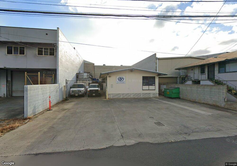
1727 Colburn St Honolulu, HI 96819
Kalihi-Palama NeighborhoodEstimated Value: $1,027,000 - $1,460,533
3
Beds
2
Baths
1,152
Sq Ft
$1,024/Sq Ft
Est. Value
About This Home
This home is located at 1727 Colburn St, Honolulu, HI 96819 and is currently estimated at $1,179,178, approximately $1,023 per square foot. 1727 Colburn St is a home located in Honolulu County with nearby schools including Pu'uhale Elementary School, King David Kalakaua Middle School, and Gov. Wallace Rider Farrington High School.
Ownership History
Date
Name
Owned For
Owner Type
Purchase Details
Closed on
Aug 15, 2024
Sold by
Srx Realty Inc
Bought by
Rayne Shai
Current Estimated Value
Purchase Details
Closed on
Nov 18, 2005
Sold by
Kumagai Dennis S
Bought by
Dennis Kumagai Co Llc
Home Financials for this Owner
Home Financials are based on the most recent Mortgage that was taken out on this home.
Original Mortgage
$450,000
Interest Rate
6.14%
Mortgage Type
Unknown
Purchase Details
Closed on
Dec 2, 2003
Sold by
Progressive Communications Of Hawaii Inc
Bought by
Kumagai Dennis S
Home Financials for this Owner
Home Financials are based on the most recent Mortgage that was taken out on this home.
Original Mortgage
$485,000
Interest Rate
6.04%
Mortgage Type
Unknown
Create a Home Valuation Report for This Property
The Home Valuation Report is an in-depth analysis detailing your home's value as well as a comparison with similar homes in the area
Home Values in the Area
Average Home Value in this Area
Purchase History
| Date | Buyer | Sale Price | Title Company |
|---|---|---|---|
| Rayne Shai | -- | None Listed On Document | |
| Dennis Kumagai Co Llc | $513,933 | Tg | |
| Kumagai Dennis S | $519,000 | -- |
Source: Public Records
Mortgage History
| Date | Status | Borrower | Loan Amount |
|---|---|---|---|
| Previous Owner | Dennis Kumagai Co Llc | $450,000 | |
| Previous Owner | Kumagai Dennis S | $485,000 |
Source: Public Records
Tax History Compared to Growth
Tax History
| Year | Tax Paid | Tax Assessment Tax Assessment Total Assessment is a certain percentage of the fair market value that is determined by local assessors to be the total taxable value of land and additions on the property. | Land | Improvement |
|---|---|---|---|---|
| 2025 | $18,481 | $1,589,700 | $1,500,000 | $89,700 |
| 2024 | $18,481 | $1,490,400 | $1,400,000 | $90,400 |
| 2023 | $17,164 | $1,488,100 | $1,400,000 | $88,100 |
| 2022 | $17,164 | $1,384,200 | $1,300,000 | $84,200 |
| 2021 | $15,972 | $1,288,100 | $1,200,000 | $88,100 |
| 2020 | $14,767 | $1,190,900 | $1,100,000 | $90,900 |
| 2019 | $14,162 | $1,142,100 | $1,050,000 | $92,100 |
| 2018 | $12,607 | $1,016,700 | $925,000 | $91,700 |
| 2017 | $11,909 | $960,400 | $850,000 | $110,400 |
| 2016 | $11,289 | $910,400 | $800,000 | $110,400 |
| 2015 | $10,629 | $857,200 | $750,000 | $107,200 |
| 2014 | -- | $818,100 | $710,000 | $108,100 |
Source: Public Records
Map
Nearby Homes
- 1751 Ahuula St
- 1918 Kaumualii St
- 1916 Kaumualii St
- 1830 Ahuula St
- 721 Mokauea St
- 1514 Dillingham Blvd Unit 206
- 1514 Dillingham Blvd Unit 319
- 1514 Dillingham Blvd Unit 301
- 2011 Ahuula St
- 1519 Kaumualii St Unit 316
- 1519 Kaumualii St Unit 319
- 2021 Wilcox Ln
- 2005 Stanley St
- 828 Puuhale Rd Unit III209
- 729 Gulick Ave Unit 1206
- 739 Gulick Ave Unit B
- 775 Mcneill St Unit 116B
- 1768 Silva St
- 1611 Kahai St
- 194 Kalihi St