1727 Jacobs Way Placerville, CA 95667
Estimated Value: $298,000 - $461,000
2
Beds
2
Baths
1,232
Sq Ft
$323/Sq Ft
Est. Value
About This Home
This home is located at 1727 Jacobs Way, Placerville, CA 95667 and is currently estimated at $397,358, approximately $322 per square foot. 1727 Jacobs Way is a home located in El Dorado County with nearby schools including El Dorado High School, Country Day Montessori, and El Dorado Adventist School.
Ownership History
Date
Name
Owned For
Owner Type
Purchase Details
Closed on
Jun 25, 1998
Sold by
Johnson Karen Preston
Bought by
Johnson Keith and Johnson Karen
Current Estimated Value
Home Financials for this Owner
Home Financials are based on the most recent Mortgage that was taken out on this home.
Original Mortgage
$102,750
Outstanding Balance
$25,922
Interest Rate
10%
Estimated Equity
$371,436
Purchase Details
Closed on
Feb 2, 1996
Sold by
Ward Lloyd B and Ward Kathleen
Bought by
Johnson Karen Preston
Purchase Details
Closed on
Feb 9, 1994
Sold by
Wilkinson Barry James
Bought by
Johnson Karen Preston and Ward Lloyd B
Home Financials for this Owner
Home Financials are based on the most recent Mortgage that was taken out on this home.
Original Mortgage
$92,800
Interest Rate
3.87%
Mortgage Type
Unknown
Create a Home Valuation Report for This Property
The Home Valuation Report is an in-depth analysis detailing your home's value as well as a comparison with similar homes in the area
Home Values in the Area
Average Home Value in this Area
Purchase History
| Date | Buyer | Sale Price | Title Company |
|---|---|---|---|
| Johnson Keith | -- | Chicago Title Co | |
| Johnson Karen Preston | -- | -- | |
| Johnson Karen Preston | $116,000 | Inter County Title Co |
Source: Public Records
Mortgage History
| Date | Status | Borrower | Loan Amount |
|---|---|---|---|
| Open | Johnson Keith | $102,750 | |
| Previous Owner | Johnson Karen Preston | $92,800 |
Source: Public Records
Tax History Compared to Growth
Tax History
| Year | Tax Paid | Tax Assessment Tax Assessment Total Assessment is a certain percentage of the fair market value that is determined by local assessors to be the total taxable value of land and additions on the property. | Land | Improvement |
|---|---|---|---|---|
| 2025 | $1,993 | $197,118 | $67,963 | $129,155 |
| 2024 | $1,993 | $193,254 | $66,631 | $126,623 |
| 2023 | $1,968 | $189,466 | $65,325 | $124,141 |
| 2022 | $1,939 | $185,752 | $64,045 | $121,707 |
| 2021 | $1,916 | $182,111 | $62,790 | $119,321 |
| 2020 | $1,887 | $180,245 | $62,147 | $118,098 |
| 2019 | $1,863 | $176,712 | $60,929 | $115,783 |
| 2018 | $1,807 | $173,248 | $59,735 | $113,513 |
| 2017 | $1,779 | $169,852 | $58,564 | $111,288 |
| 2016 | $1,751 | $166,522 | $57,416 | $109,106 |
| 2015 | $1,670 | $164,022 | $56,554 | $107,468 |
| 2014 | $1,670 | $160,812 | $55,448 | $105,364 |
Source: Public Records
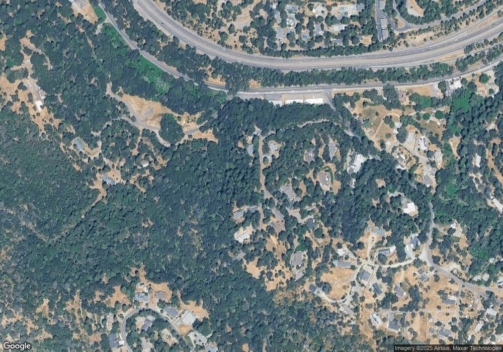
Map
Nearby Homes
- 1764 Country Club Dr
- 2984 Sippy Ln Unit A
- 1812 Mary Ct
- 2990 Sippy Ln
- 1540 Barrett Dr
- 1531 Jeffrey Ln
- 3930 Cedar Ravine Rd
- 3579 Cedar Ravine Rd
- 2970 Texas Hill Rd
- 3740 Butterfly Ln
- 3980 Donner Trail
- 1302 Nicks Ln
- 1030 Lemongrass Ct
- 10 Mosquito Rd
- 3020 Newtown Rd Unit C
- 3020 Newtown Rd Unit 31
- 2977 Mosquito Rd
- 2655 Mona Dr
- 2399 Kingsgate Rd
- 2697 Morrene Dr
- 1739 Airport Ct
- 1731 Jacobs Way
- 1718 Airport Ct
- 1729 Jacobs Way
- 1705 Airport Ct
- 1720 Jacobs Way
- 1780 Airport Ct
- 1710 Airport Ct
- 1704 Airport Ct
- 1725 Jacobs Way
- 1770 Broadway
- 1790 Airport Ct
- 1701 Airport Ct
- 3030 Airport Rd
- 1805 Hillside Ct
- 1803 Hillside Ct
- 1761 Hillside Ct
- 3013 Airport Rd
- 3025 Airport Rd
- 1815 Hillside Ct