1727 Lowland Pike Morristown, TN 37813
Estimated Value: $183,695 - $316,000
--
Bed
1
Bath
1,428
Sq Ft
$176/Sq Ft
Est. Value
About This Home
This home is located at 1727 Lowland Pike, Morristown, TN 37813 and is currently estimated at $251,174, approximately $175 per square foot. 1727 Lowland Pike is a home located in Hamblen County with nearby schools including Union Heights Elementary School, East Ridge Middle School, and Morristown East High School.
Ownership History
Date
Name
Owned For
Owner Type
Purchase Details
Closed on
Jan 25, 2024
Sold by
Harrison Maxine
Bought by
Gray Joshua Kyle Blake
Current Estimated Value
Purchase Details
Closed on
Sep 2, 2015
Sold by
Talley Bobby Joe
Bought by
Harrison Maxine and Harrison Lynn
Purchase Details
Closed on
Jan 13, 2004
Sold by
Milton Laster
Bought by
Harrison Lynn
Purchase Details
Closed on
Feb 5, 1966
Bought by
Talley Bobby Joe and Talley Maxine M
Create a Home Valuation Report for This Property
The Home Valuation Report is an in-depth analysis detailing your home's value as well as a comparison with similar homes in the area
Home Values in the Area
Average Home Value in this Area
Purchase History
| Date | Buyer | Sale Price | Title Company |
|---|---|---|---|
| Gray Joshua Kyle Blake | -- | None Listed On Document | |
| Harrison Maxine | -- | -- | |
| Harrison Lynn | -- | -- | |
| Talley Bobby Joe | -- | -- |
Source: Public Records
Tax History Compared to Growth
Tax History
| Year | Tax Paid | Tax Assessment Tax Assessment Total Assessment is a certain percentage of the fair market value that is determined by local assessors to be the total taxable value of land and additions on the property. | Land | Improvement |
|---|---|---|---|---|
| 2024 | $574 | $29,150 | $3,100 | $26,050 |
| 2023 | $574 | $29,150 | $0 | $0 |
| 2022 | $574 | $29,150 | $3,100 | $26,050 |
| 2021 | $574 | $29,150 | $3,100 | $26,050 |
| 2020 | $574 | $29,150 | $3,100 | $26,050 |
| 2019 | $557 | $26,150 | $3,100 | $23,050 |
| 2018 | $557 | $26,150 | $3,100 | $23,050 |
| 2017 | $557 | $26,150 | $3,100 | $23,050 |
| 2016 | $520 | $26,150 | $3,100 | $23,050 |
| 2015 | $484 | $26,150 | $3,100 | $23,050 |
| 2014 | -- | $26,150 | $3,100 | $23,050 |
| 2013 | -- | $28,800 | $0 | $0 |
Source: Public Records
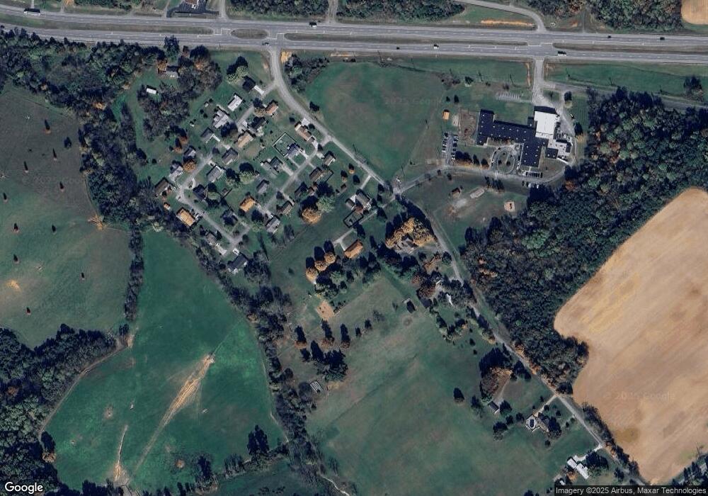
Map
Nearby Homes
- 0 Springvale Rd
- 1051 Wilson Hale Rd
- 2945 Enka Hwy
- 4207 Clyde Thomas Rd
- 1256 Arden Ln
- 848 Spencer Hale Rd
- 2840-2830 Robinson Creek Rd
- 2205 Kingswood Dr
- 0 Tbd River View Dr Unit Lot@WP001
- 58/Ac Tbd River View Dr
- 58/Ac Tbd River View Dr Unit 2
- 1500 S Davy Crockett Pkwy
- 2036 River View Dr
- 2034 River View Dr
- 2034 River View Dr Unit 1
- 2137 Highview Dr
- 828 Overlook Dr
- 4520 Enka Hwy
- 4996 Saint Paul Rd
- 423 Hayter Dr
- 1737 Lowland Pike
- 1717 Lowland Pike
- 1685 Lowland Pike
- 1580 Meadow Lane Cir
- 1572 Meadow Lane Cir
- 1588 Meadow Lane Cir
- 1588 Meadow Lane Cir
- 1568 Meadow Lane Cir
- 1596 Meadow Lane Cir
- 1560 Meadow Lane Cir
- 1581 Meadow Lane Cir
- 1573 Meadow Lane Cir
- 1587 Meadow Lane Cir
- 1561 Meadow Lane Cir
- 1595 Meadow Lane Cir
- 1565 Meadow Lane Cir
- 1556 Meadow Lane Cir
- 1521 Meadow Lane Cir
- 1525 Meadow Lane Cir
- 1515 Meadow Lane Cir