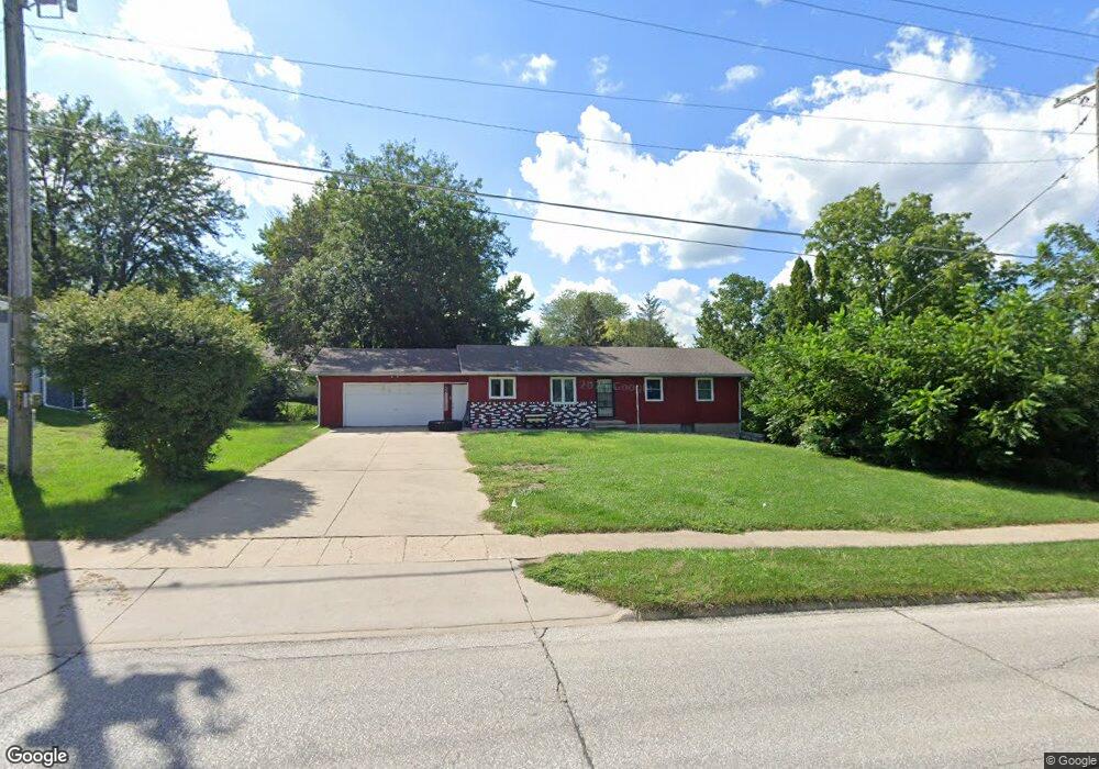
1727 N Grant Rd Carroll, IA 51401
Estimated Value: $185,000 - $214,044
3
Beds
2
Baths
1,344
Sq Ft
$149/Sq Ft
Est. Value
About This Home
This home is located at 1727 N Grant Rd, Carroll, IA 51401 and is currently estimated at $200,261, approximately $149 per square foot. 1727 N Grant Rd is a home with nearby schools including Fairview Elementary School, Adams Elementary School, and Carroll Middle School.
Ownership History
Date
Name
Owned For
Owner Type
Purchase Details
Closed on
Jul 14, 2010
Sold by
Warner Lori A
Bought by
Warner William C
Current Estimated Value
Purchase Details
Closed on
Oct 9, 2005
Sold by
Bentley Gary L and Bentley Dianne J
Bought by
Warner William C and Warner Lori A
Home Financials for this Owner
Home Financials are based on the most recent Mortgage that was taken out on this home.
Original Mortgage
$100,388
Interest Rate
5.83%
Mortgage Type
New Conventional
Create a Home Valuation Report for This Property
The Home Valuation Report is an in-depth analysis detailing your home's value as well as a comparison with similar homes in the area
Home Values in the Area
Average Home Value in this Area
Purchase History
| Date | Buyer | Sale Price | Title Company |
|---|---|---|---|
| Warner William C | -- | None Available | |
| Warner William C | $107,500 | Security Title & Investment |
Source: Public Records
Mortgage History
| Date | Status | Borrower | Loan Amount |
|---|---|---|---|
| Previous Owner | Warner William C | $100,388 |
Source: Public Records
Tax History Compared to Growth
Tax History
| Year | Tax Paid | Tax Assessment Tax Assessment Total Assessment is a certain percentage of the fair market value that is determined by local assessors to be the total taxable value of land and additions on the property. | Land | Improvement |
|---|---|---|---|---|
| 2025 | $1,988 | $194,700 | $37,350 | $157,350 |
| 2024 | $1,988 | $173,660 | $37,350 | $136,310 |
| 2023 | $2,467 | $173,660 | $37,350 | $136,310 |
| 2022 | $2,340 | $161,370 | $31,510 | $129,860 |
| 2021 | $2,340 | $161,370 | $31,510 | $129,860 |
| 2020 | $2,396 | $161,370 | $31,510 | $129,860 |
| 2019 | $2,452 | $161,370 | $31,510 | $129,860 |
| 2018 | $2,308 | $161,370 | $31,510 | $129,860 |
| 2017 | $2,308 | $161,163 | $32,592 | $128,571 |
| 2016 | $2,156 | $150,620 | $0 | $0 |
| 2015 | $2,156 | $128,670 | $0 | $0 |
| 2014 | $1,820 | $128,670 | $0 | $0 |
Source: Public Records
Map
Nearby Homes
- 265 Perch St
- 260 Bass St
- 222 Bass St
- 1601 Pike Ave
- 746 Granada Rd
- 638 Capistrano Ave
- 621 Alta Vista Dr
- 1408 N Adams St
- 1217 N Main St
- 1620 Edgewood Dr
- 226 W 13th St
- 1550 Edgewood Dr
- 1108 N Main St
- 1102 N Main St
- 1026 N Clark St
- 204 W 11th St
- 1137 High Ridge Rd
- 328 W 21st St
- 1015 N Adams St
- 2017 N West St
- 1735 Marcella Heights Dr
- 503 Granada Rd
- 1618 N Grant Rd
- 1747 Marcella Heights Dr
- 1731 Marcella Heights Dr
- 1771 Marcella Heights Dr
- 509 Granada Rd
- 1725 Marcella Heights Dr
- 515 Granada Rd
- 508 Granada Rd
- 255 Perch St
- 504-10 E 18th St
- 1726 Marcella Heights Dr
- 1740 Marcella Heights Dr
- 514 Granada Rd
- 249 Perch St
- 1748 Marcella Heights Dr
- 282 E 18th St
- 503 Troy Dr
- 1719 Marcella Heights Dr