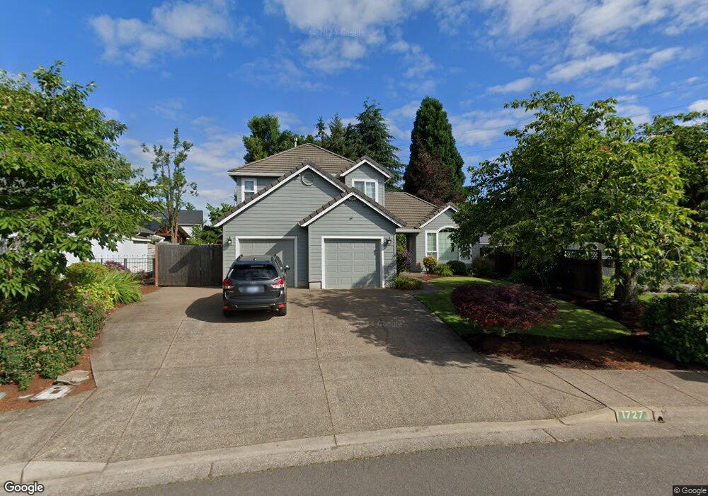
1727 Victorian Way Eugene, OR 97401
Harlow NeighborhoodEstimated Value: $565,000 - $702,000
3
Beds
3
Baths
1,943
Sq Ft
$331/Sq Ft
Est. Value
About This Home
This home is located at 1727 Victorian Way, Eugene, OR 97401 and is currently estimated at $642,394, approximately $330 per square foot. 1727 Victorian Way is a home located in Lane County with nearby schools including Holt Elementary School, Monroe Middle School, and Sheldon High School.
Ownership History
Date
Name
Owned For
Owner Type
Purchase Details
Closed on
Nov 26, 2014
Sold by
Mcallister Troy and Mcallister Elizabeth H
Bought by
Beaty Kurt T and Beaty Charlene R
Current Estimated Value
Home Financials for this Owner
Home Financials are based on the most recent Mortgage that was taken out on this home.
Original Mortgage
$200,000
Outstanding Balance
$152,307
Interest Rate
3.92%
Mortgage Type
New Conventional
Estimated Equity
$490,087
Create a Home Valuation Report for This Property
The Home Valuation Report is an in-depth analysis detailing your home's value as well as a comparison with similar homes in the area
Home Values in the Area
Average Home Value in this Area
Purchase History
| Date | Buyer | Sale Price | Title Company |
|---|---|---|---|
| Beaty Kurt T | $306,000 | Cascade Title Company |
Source: Public Records
Mortgage History
| Date | Status | Borrower | Loan Amount |
|---|---|---|---|
| Open | Beaty Kurt T | $200,000 |
Source: Public Records
Tax History
| Year | Tax Paid | Tax Assessment Tax Assessment Total Assessment is a certain percentage of the fair market value that is determined by local assessors to be the total taxable value of land and additions on the property. | Land | Improvement |
|---|---|---|---|---|
| 2025 | $5,951 | $305,412 | -- | -- |
| 2024 | $5,877 | $296,517 | -- | -- |
| 2023 | $5,877 | $287,881 | $0 | $0 |
| 2022 | $5,505 | $279,497 | $0 | $0 |
| 2021 | $5,171 | $271,357 | $0 | $0 |
| 2020 | $5,189 | $263,454 | $0 | $0 |
| 2019 | $5,012 | $255,781 | $0 | $0 |
| 2018 | $4,717 | $241,099 | $0 | $0 |
| 2017 | $4,506 | $241,099 | $0 | $0 |
| 2016 | $4,394 | $234,077 | $0 | $0 |
| 2015 | $4,268 | $227,259 | $0 | $0 |
| 2014 | $4,182 | $220,640 | $0 | $0 |
Source: Public Records
Map
Nearby Homes
- 1794 Kings St N
- 1564 Regency Dr
- 3090 Willakenzie Rd
- 1491 Victorian Way
- 0 Sprig Ln Unit Lot 3
- 0 Sprig Ln Unit Lot 3 766109892
- 1270 Calvin St
- 1271 Arcadia Dr
- 3025 Bailey Ln
- 3700 Babcock Ln Unit 119
- 3700 Babcock Ln Unit 106
- 1038 President St
- 2577 Elysium Ave
- 860 N van Duyn St
- 825 Waverly St
- 2065 Providence St
- 2611 Erin Way
- 2889 Kinney Loop
- 2420 Willona Dr
- 3155 Oriole St
- 1723 Victorian Way
- 1735 Victorian Way
- 3223 Queens East St
- 3219 Queens East St
- 1719 Victorian Way
- 1739 Victorian Way
- 3219 Queens St E
- 1724 Victorian Way
- 3227 Queens East St
- 1736 Victorian Way
- 1715 Victorian Way
- 1718 Victorian Way
- 3215 Queens St E
- 3215 Queens East St
- 1738 Victorian Way
- 1743 Victorian Way
- 3231 Queens East St
- 1744 Victorian Way
- 1706 Victorian Way
- 1648 Victorian Way
Your Personal Tour Guide
Ask me questions while you tour the home.