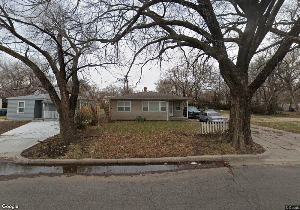
1728 N Poplar Ave Wichita, KS 67214
North Central NeighborhoodEstimated Value: $83,000 - $86,917
2
Beds
1
Bath
960
Sq Ft
$88/Sq Ft
Est. Value
About This Home
This home is located at 1728 N Poplar Ave, Wichita, KS 67214 and is currently estimated at $84,959, approximately $88 per square foot. 1728 N Poplar Ave is a home located in Sedgwick County with nearby schools including L'Ouverture Career Explorations and Technology Magnet Elementary School and Holy Savior Catholic Academy.
Ownership History
Date
Name
Owned For
Owner Type
Purchase Details
Closed on
Mar 24, 2017
Sold by
Brown William Earl
Bought by
Brown Bonnie F
Current Estimated Value
Purchase Details
Closed on
Mar 22, 2017
Sold by
Mccoy Dorothy A
Bought by
Brown Bonnie F and Bolden Charles
Purchase Details
Closed on
Nov 5, 2012
Sold by
Bolden Lucille
Bought by
Bolden Lucille and Mccoy Dorothy A
Purchase Details
Closed on
Oct 10, 2012
Sold by
Brown Michelle R
Bought by
Bolden Lucille
Purchase Details
Closed on
May 28, 2009
Sold by
Roberts Kenneth J
Bought by
Brown Michelle R
Create a Home Valuation Report for This Property
The Home Valuation Report is an in-depth analysis detailing your home's value as well as a comparison with similar homes in the area
Home Values in the Area
Average Home Value in this Area
Purchase History
| Date | Buyer | Sale Price | Title Company |
|---|---|---|---|
| Brown Bonnie F | -- | None Available | |
| Brown Bonnie F | -- | None Available | |
| Bolden Lucille | -- | None Available | |
| Bolden Lucille | -- | None Available | |
| Brown Michelle R | $6,000 | None Available |
Source: Public Records
Tax History Compared to Growth
Tax History
| Year | Tax Paid | Tax Assessment Tax Assessment Total Assessment is a certain percentage of the fair market value that is determined by local assessors to be the total taxable value of land and additions on the property. | Land | Improvement |
|---|---|---|---|---|
| 2025 | $412 | $4,658 | $552 | $4,106 |
| 2023 | $412 | $3,784 | $460 | $3,324 |
| 2022 | $315 | $3,220 | $437 | $2,783 |
| 2021 | $287 | $2,795 | $437 | $2,358 |
| 2020 | $269 | $2,634 | $437 | $2,197 |
| 2017 | $269 | $0 | $0 | $0 |
| 2016 | $268 | $0 | $0 | $0 |
| 2015 | -- | $0 | $0 | $0 |
| 2014 | -- | $0 | $0 | $0 |
Source: Public Records
Map
Nearby Homes
- 1739 N Green St
- 1713 N Green St
- 1654 N Grove Ave
- 1531 N Poplar Ave
- 1928 N Spruce Ave
- 1522 N Estelle St
- 1701 N Piatt Ave
- 1842 N Chautauqua Ave
- 1837 N Piatt Ave
- 2611 E Shadybrook Ln
- 1427 N Erie Ave
- 2056 N Volutsia St
- 1456 N Piatt Ave
- 1932 N Minnesota Ave
- 1842 N Minneapolis St
- 1527 N Minnesota Ave
- 1334 N Estelle Ave
- 3032 E Stadium Dr
- LOTS 26-28 N Ash St
- 2054 N Piatt Ave
- 1732 N Poplar Ave
- 1722 N Poplar Ave
- 1738 N Poplar Ave
- 1716 N Poplar Ave
- 1727 N Poplar Ave
- 1742 N Poplar Ave
- 1733 N Poplar Ave
- 1712 N Poplar Ave
- 1735 N Green St
- 1737 N Poplar Ave
- 1717 N Poplar Ave
- 1721 N Green St
- 1741 N Green St
- 1717 N Green St
- 1745 N Green St
- 2503 E 17th St N
- 1707 N Green St
- 2420 E 16th St N
- 1751 N Green St
- 1703 N Green St