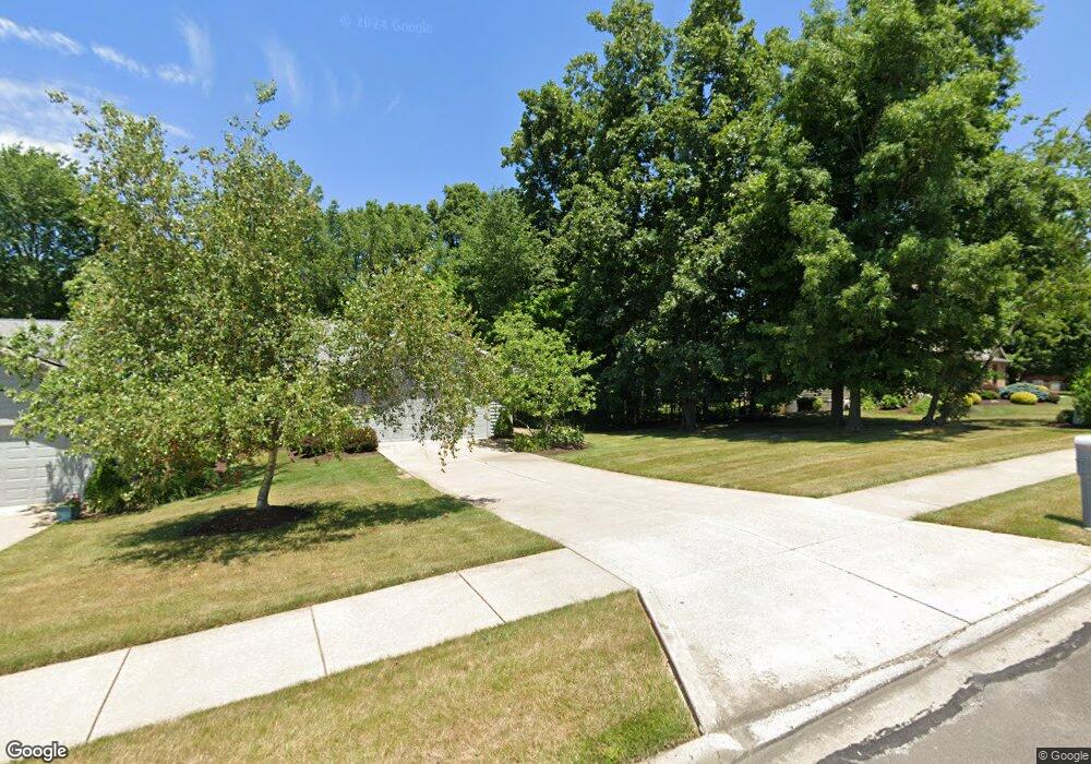
1728 Olde Post Rd Ashland, OH 44805
Estimated Value: $228,000 - $331,000
2
Beds
2
Baths
2,200
Sq Ft
$129/Sq Ft
Est. Value
About This Home
This home is located at 1728 Olde Post Rd, Ashland, OH 44805 and is currently estimated at $284,671, approximately $129 per square foot. 1728 Olde Post Rd is a home located in Ashland County with nearby schools including Ashland High School, Ashland County Community Academy, and St. Edward Elementary School.
Ownership History
Date
Name
Owned For
Owner Type
Purchase Details
Closed on
Feb 20, 2025
Sold by
Zimmerman Thomas C
Bought by
Tcz 1728 Llc
Current Estimated Value
Purchase Details
Closed on
Feb 28, 2023
Sold by
Zimmerman Todd D
Bought by
Zimmerman Thomas C
Purchase Details
Closed on
May 26, 1999
Sold by
Krumlaw William R
Bought by
Zimmerman W Charles
Purchase Details
Closed on
Dec 5, 1995
Bought by
Krumlaw William R
Purchase Details
Closed on
Jan 1, 1990
Sold by
Kitson Robert C
Bought by
Kitson Robert C
Create a Home Valuation Report for This Property
The Home Valuation Report is an in-depth analysis detailing your home's value as well as a comparison with similar homes in the area
Home Values in the Area
Average Home Value in this Area
Purchase History
| Date | Buyer | Sale Price | Title Company |
|---|---|---|---|
| Tcz 1728 Llc | -- | Heartland Title | |
| Tcz 1728 Llc | -- | Heartland Title | |
| Zimmerman Thomas C | -- | None Listed On Document | |
| Zimmerman W Charles | $178,900 | -- | |
| Krumlaw William R | $153,500 | -- | |
| Kitson Robert C | -- | -- |
Source: Public Records
Tax History
| Year | Tax Paid | Tax Assessment Tax Assessment Total Assessment is a certain percentage of the fair market value that is determined by local assessors to be the total taxable value of land and additions on the property. | Land | Improvement |
|---|---|---|---|---|
| 2025 | $3,140 | $88,650 | $13,000 | $75,650 |
| 2024 | $3,140 | $88,650 | $13,000 | $75,650 |
| 2023 | $3,140 | $88,650 | $13,000 | $75,650 |
| 2022 | $2,480 | $65,670 | $9,630 | $56,040 |
| 2021 | $2,490 | $65,670 | $9,630 | $56,040 |
| 2020 | $2,357 | $65,670 | $9,630 | $56,040 |
| 2019 | $2,107 | $55,830 | $9,190 | $46,640 |
| 2018 | $2,125 | $55,830 | $9,190 | $46,640 |
| 2017 | $2,133 | $55,830 | $9,190 | $46,640 |
| 2016 | $2,102 | $53,170 | $8,750 | $44,420 |
| 2015 | $2,084 | $53,170 | $8,750 | $44,420 |
| 2013 | $2,113 | $53,130 | $5,950 | $47,180 |
Source: Public Records
Map
Nearby Homes
- 0 Eagle Way
- 1109 Eastern Ave
- 120 High St
- 977-B Township Road 1514
- 102 E Liberty St
- 1589 State Route 511
- 711 Grant St
- 703 Grant St
- 219 W Washington St
- 1319 Cleveland Ave
- 832 Avalon Dr
- 410 E 9th St
- 945 Virginia Ave
- 870 King Ridge Dr
- 908 King Ridge Dr
- 917 Union St
- 416-418 Carroll St
- 515 Sandusky St
- 0 Claremont Ave
- 224 Sharon Ave
- 1806 Olde Post Rd
- 1818 Olde Post Rd
- 1820 Olde Post Rd
- 1808 Olde Post Rd
- 1810 Olde Post Rd
- 1730 Olde Post Rd
- 1211 Berwyck Ct
- 0 Berwyck Ct
- 0 Berwyck Ct
- 1710 Olde Post Rd
- 1717 Olde Post Rd
- 1100 Surrey Cir
- 1221 Berwyck Ct
- 1139 Surrey Cir
- 1207 Danbury Ct
- 0 Surrey Cir
- 1114 Surrey Cir
- 1233 Berwyck Ct
- 1126 Surrey Cir
Your Personal Tour Guide
Ask me questions while you tour the home.