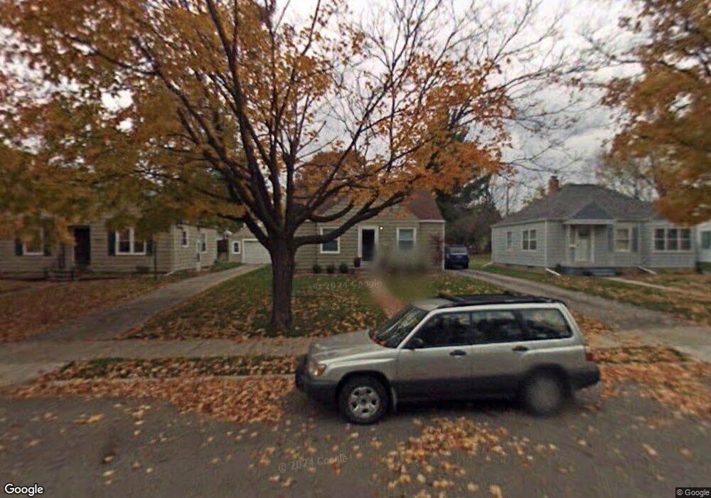
1728 Quentin Ave Lansing, MI 48910
Quentin Park NeighborhoodEstimated Value: $116,000 - $149,000
2
Beds
2
Baths
738
Sq Ft
$174/Sq Ft
Est. Value
About This Home
This home is located at 1728 Quentin Ave, Lansing, MI 48910 and is currently estimated at $128,158, approximately $173 per square foot. 1728 Quentin Ave is a home located in Ingham County with nearby schools including Averill Elementary School, Pattengill Academy, and J.W. Sexton High School.
Ownership History
Date
Name
Owned For
Owner Type
Purchase Details
Closed on
Dec 29, 2010
Sold by
Mitchell Matthew W and Mitchell Jill M
Bought by
Buckley Barbara J
Current Estimated Value
Home Financials for this Owner
Home Financials are based on the most recent Mortgage that was taken out on this home.
Original Mortgage
$92,591
Outstanding Balance
$62,274
Interest Rate
4.5%
Mortgage Type
FHA
Estimated Equity
$65,884
Purchase Details
Closed on
May 31, 2005
Sold by
Forsberg John J and Jarema Morgan
Bought by
Mitchell Matthew W and Mitchell Jill M
Home Financials for this Owner
Home Financials are based on the most recent Mortgage that was taken out on this home.
Original Mortgage
$105,052
Interest Rate
5.91%
Mortgage Type
FHA
Create a Home Valuation Report for This Property
The Home Valuation Report is an in-depth analysis detailing your home's value as well as a comparison with similar homes in the area
Home Values in the Area
Average Home Value in this Area
Purchase History
| Date | Buyer | Sale Price | Title Company |
|---|---|---|---|
| Buckley Barbara J | $95,000 | Transnation | |
| Mitchell Matthew W | $105,900 | Tri Title Agency |
Source: Public Records
Mortgage History
| Date | Status | Borrower | Loan Amount |
|---|---|---|---|
| Open | Buckley Barbara J | $92,591 | |
| Previous Owner | Mitchell Matthew W | $105,052 |
Source: Public Records
Tax History Compared to Growth
Tax History
| Year | Tax Paid | Tax Assessment Tax Assessment Total Assessment is a certain percentage of the fair market value that is determined by local assessors to be the total taxable value of land and additions on the property. | Land | Improvement |
|---|---|---|---|---|
| 2025 | $2,660 | $54,400 | $9,000 | $45,400 |
| 2024 | $21 | $52,400 | $9,000 | $43,400 |
| 2023 | $2,495 | $47,500 | $9,000 | $38,500 |
| 2022 | $2,250 | $43,900 | $9,100 | $34,800 |
| 2021 | $2,204 | $42,300 | $9,100 | $33,200 |
| 2020 | $2,190 | $39,900 | $9,100 | $30,800 |
| 2019 | $2,099 | $36,200 | $9,100 | $27,100 |
| 2018 | $1,968 | $35,400 | $9,100 | $26,300 |
| 2017 | $1,883 | $35,400 | $9,100 | $26,300 |
| 2016 | $1,801 | $33,300 | $9,100 | $24,200 |
| 2015 | $1,801 | $32,400 | $18,206 | $14,194 |
| 2014 | $1,801 | $31,700 | $18,206 | $13,494 |
Source: Public Records
Map
Nearby Homes
- 1740 Wellington Rd Unit 103
- 1315 Goodrich St
- 1312 W Mount Hope Ave
- 1309 Hammond St
- 1116 George St
- 1420 Poxson Ave
- 1114 Goodrich St
- 2118 Marion Ave
- 1120 Alsdorf St
- 1221 Moores River Dr
- 2001 S Martin Luther King Junior Blvd
- 2011 S Martin Luther King jr Blvd
- 1010 W Barnes Ave
- 1516 Moores River Dr
- 917 W Barnes Ave
- 1404 Kelsey Ave
- 1913 Stirling Ave
- 1618 Loraine Ave
- 1912 Moores River Dr
- 2112 Stirling Ave
- 1724 Quentin Ave
- 1732 Quentin Ave
- 1738 Quentin Ave
- 1723 Boston Blvd
- 1727 Boston Blvd
- 1714 Quentin Ave
- 1719 Boston Blvd
- 1742 Quentin Ave
- 1731 Boston Blvd
- 1715 Boston Blvd
- 1735 Boston Blvd
- 1748 Quentin Ave
- 1731 Quentin Ave
- 1725 Quentin Ave
- 1735 Quentin Ave
- 1721 Quentin Ave
- 1607 W Barnes Ave
- 1611 W Barnes Ave
- 1739 Quentin Ave
- 1717 Quentin Ave