1729 Daniels Rd Lincolnton, NC 28092
Estimated Value: $359,000 - $423,863
3
Beds
2
Baths
1,658
Sq Ft
$229/Sq Ft
Est. Value
About This Home
This home is located at 1729 Daniels Rd, Lincolnton, NC 28092 and is currently estimated at $378,966, approximately $228 per square foot. 1729 Daniels Rd is a home with nearby schools including Union Elementary School, West Lincoln Middle, and West Lincoln High School.
Ownership History
Date
Name
Owned For
Owner Type
Purchase Details
Closed on
Nov 26, 2014
Sold by
Gilbert Gladys Joyce
Bought by
Bryant David Scott and Bryant Amanda C
Current Estimated Value
Home Financials for this Owner
Home Financials are based on the most recent Mortgage that was taken out on this home.
Original Mortgage
$17,000
Interest Rate
4.02%
Mortgage Type
Purchase Money Mortgage
Create a Home Valuation Report for This Property
The Home Valuation Report is an in-depth analysis detailing your home's value as well as a comparison with similar homes in the area
Home Values in the Area
Average Home Value in this Area
Purchase History
| Date | Buyer | Sale Price | Title Company |
|---|---|---|---|
| Bryant David Scott | $22,000 | None Available |
Source: Public Records
Mortgage History
| Date | Status | Borrower | Loan Amount |
|---|---|---|---|
| Closed | Bryant David Scott | $17,000 |
Source: Public Records
Tax History Compared to Growth
Tax History
| Year | Tax Paid | Tax Assessment Tax Assessment Total Assessment is a certain percentage of the fair market value that is determined by local assessors to be the total taxable value of land and additions on the property. | Land | Improvement |
|---|---|---|---|---|
| 2025 | $2,501 | $378,395 | $49,208 | $329,187 |
| 2024 | $2,481 | $378,395 | $49,208 | $329,187 |
| 2023 | $2,481 | $378,395 | $49,208 | $329,187 |
| 2022 | $1,799 | $226,382 | $31,604 | $194,778 |
| 2021 | $1,799 | $226,382 | $31,604 | $194,778 |
| 2020 | $1,705 | $226,382 | $31,604 | $194,778 |
| 2019 | $1,705 | $226,382 | $31,604 | $194,778 |
| 2018 | $1,555 | $197,547 | $29,904 | $167,643 |
| 2017 | $1,454 | $197,547 | $29,904 | $167,643 |
| 2016 | $171 | $0 | $0 | $0 |
| 2015 | $168 | $24,404 | $24,404 | $0 |
| 2014 | $91 | $13,500 | $13,500 | $0 |
Source: Public Records
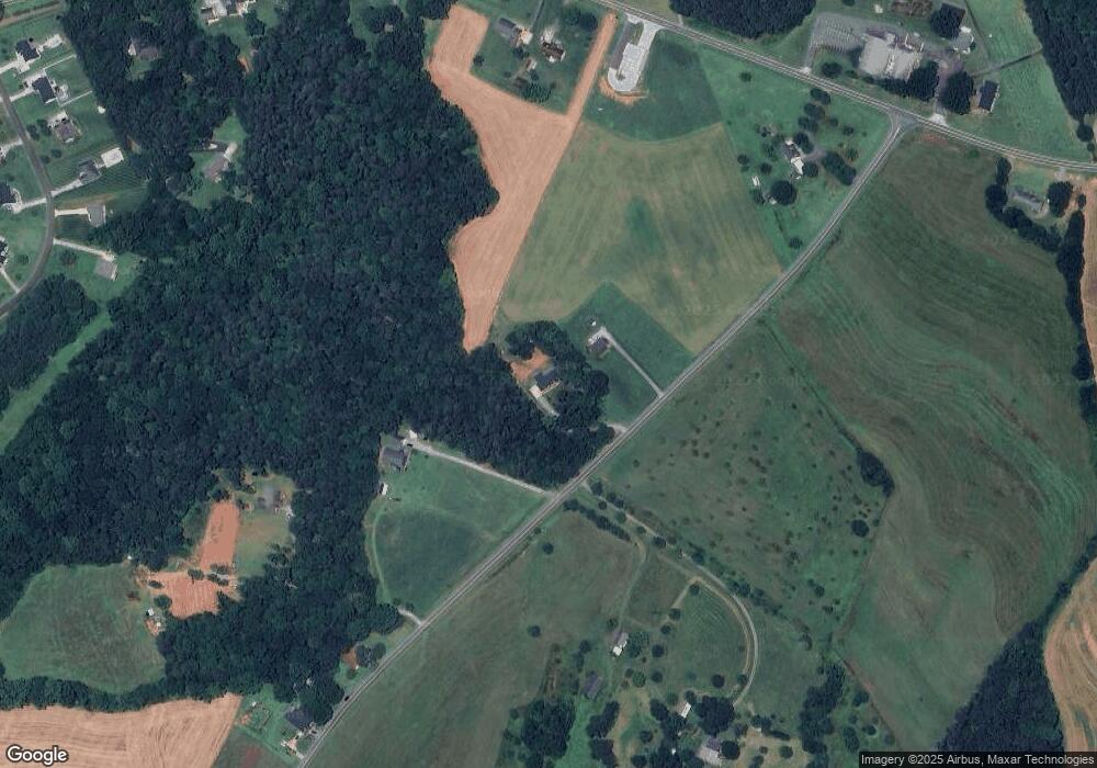
Map
Nearby Homes
- 3637 Reepsville Rd
- 000 Flag Ln Unit 53
- 2614 Reepsville Rd
- 3817 Spike Ln
- 1643 Flag Ln
- 1983 Seagletown Rd
- 2064 Colorado Ct
- 2363 Reepsville Rd
- 4318 Katie Reep Ln
- 1551 J Rhyne Reep Rd
- 3248 Killian Rd
- 1259 Haywood Ct
- 3379 Killian Rd
- 3300 Paul Heavner Ln
- 142 Alf Hoover Rd
- 1712 Cline Farm Rd
- 2508 Rock Dam Rd
- 1783 Reepsville Rd
- 2748 Eagle Dr
- 3579 June Bug Rd
- 1737 Daniels Rd
- 1705 Daniels Rd
- Lot 5 Daniels Rd
- 1706 Daniels Rd
- 3269 Reepsville Rd
- 3205 Reepsville Rd
- 3283 Reepsville Rd
- 3417 Reepsville Rd
- 3248 Reepsville Rd
- 3323 Reepsville Rd
- 1714 Daniels Rd
- 3290 Reepsville Rd
- 1613 Daniels Rd
- 3260 Reepsville Rd
- 3373 Reepsville Rd
- 2256 Edwards Farm Ln
- 2436 Mintew Cir
- 3312 Reepsville Rd
- 2446 Mintew Cir
- 2460 Mintew Cir