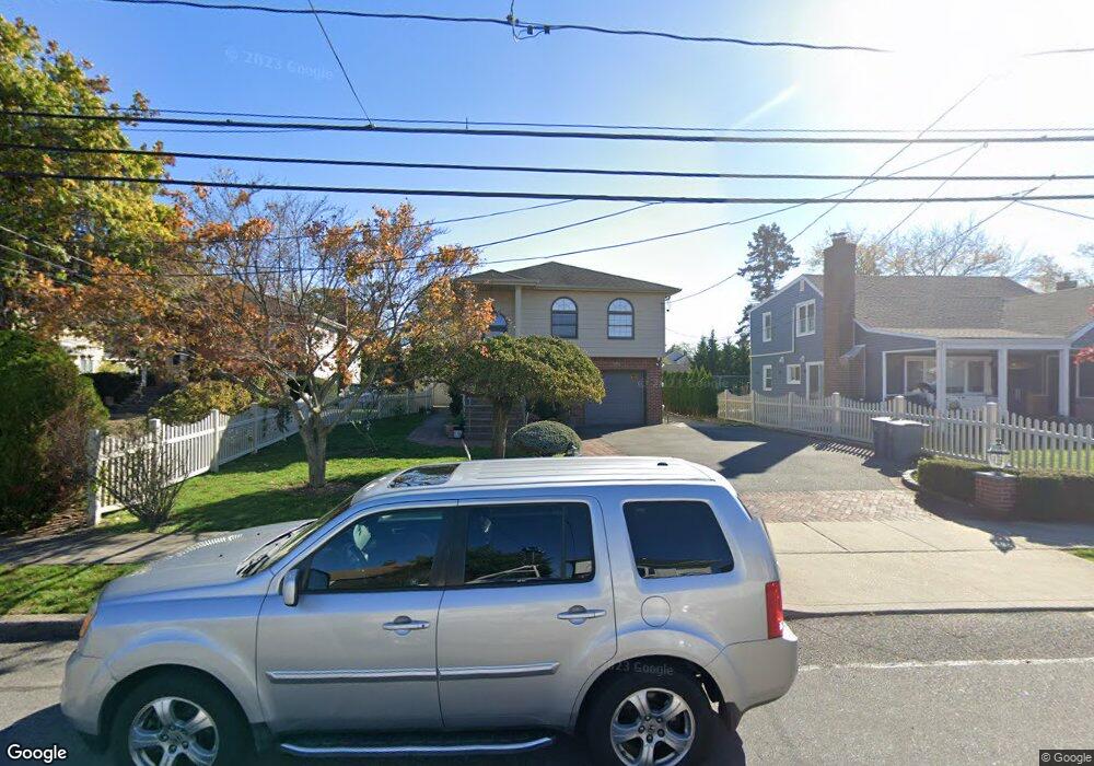
1729 Hancock St Hewlett, NY 11557
Estimated Value: $998,297 - $1,121,000
--
Bed
2
Baths
1,193
Sq Ft
$888/Sq Ft
Est. Value
About This Home
This home is located at 1729 Hancock St, Hewlett, NY 11557 and is currently estimated at $1,059,649, approximately $888 per square foot. 1729 Hancock St is a home located in Nassau County with nearby schools including George W Hewlett High School, Reenas Bais Yaakov, and Stella K. Abraham High School For Girls.
Ownership History
Date
Name
Owned For
Owner Type
Purchase Details
Closed on
Oct 22, 2018
Sold by
Dagostino Louis and Dagostino Lori
Bought by
Khaimov Rushel and Murdakh Galina
Current Estimated Value
Purchase Details
Closed on
Jan 5, 2007
Sold by
Dagostino Lori
Purchase Details
Closed on
Aug 26, 2004
Sold by
Chang Bong
Bought by
Dagostino Lori
Purchase Details
Closed on
May 17, 2002
Sold by
Jang Hye Sook
Bought by
Chang Bong Kwon
Purchase Details
Closed on
Oct 28, 1996
Sold by
Laino Marsha and Laino Adolf
Bought by
Jang Hye Sook
Create a Home Valuation Report for This Property
The Home Valuation Report is an in-depth analysis detailing your home's value as well as a comparison with similar homes in the area
Home Values in the Area
Average Home Value in this Area
Purchase History
| Date | Buyer | Sale Price | Title Company |
|---|---|---|---|
| Khaimov Rushel | $730,000 | None Available | |
| -- | -- | -- | |
| Dagostino Lori | $555,000 | -- | |
| Chang Bong Kwon | $260,000 | Samuel Ahng | |
| Jang Hye Sook | $218,000 | -- |
Source: Public Records
Tax History Compared to Growth
Tax History
| Year | Tax Paid | Tax Assessment Tax Assessment Total Assessment is a certain percentage of the fair market value that is determined by local assessors to be the total taxable value of land and additions on the property. | Land | Improvement |
|---|---|---|---|---|
| 2025 | $19,769 | $640 | $342 | $298 |
| 2024 | $4,698 | $654 | $350 | $304 |
| 2023 | $21,323 | $683 | $365 | $318 |
| 2022 | $21,323 | $645 | $365 | $280 |
| 2021 | $28,585 | $579 | $308 | $271 |
| 2020 | $19,590 | $851 | $850 | $1 |
| 2019 | $4,297 | $912 | $741 | $171 |
| 2018 | $12,835 | $1,123 | $0 | $0 |
| 2017 | $14,616 | $1,123 | $912 | $211 |
| 2016 | $19,392 | $1,123 | $912 | $211 |
| 2015 | $4,415 | $1,123 | $912 | $211 |
| 2014 | $4,415 | $1,123 | $912 | $211 |
| 2013 | $4,123 | $1,123 | $912 | $211 |
Source: Public Records
Map
Nearby Homes
- 29 Avon Rd
- 596 Broadway Unit 14B
- 596 Broadway Unit 16B
- 32 Harvard Ave
- 33 Prospect Ave
- 1560 Pebble Ln
- 1555 Stevenson Rd
- 51 Stevenson Rd
- 131 Peninsula Blvd
- 1584 Kew Ave
- 33 Starks Place
- 171 E Rockaway Rd
- 1594 Union Ave
- 33 Farnum St
- 16 Farnum St
- 127 Gordon Rd
- 221 Somerset Dr
- 165 Page Rd
- 1361 Boxwood Dr E
- 11 Duryea Place
- 1733 Hancock St
- 1727 Hancock St
- 60 Sheridan Ave
- 1709 Hancock St
- 70 Sheridan Ave
- 64 Sheridan Ave
- 1745 Hancock St
- 76 Sheridan Ave
- 50 Sheridan Ave
- 1749 Hancock St
- 1722 Slocum St
- 1726 Slocum St
- 1724 Hancock St
- 1718 Slocum St
- 1730 Slocum St
- 1720 Hancock St
- 1714 Slocum St
- 1753 Hancock St
- 1728 Hancock St
- 1712 Slocum St