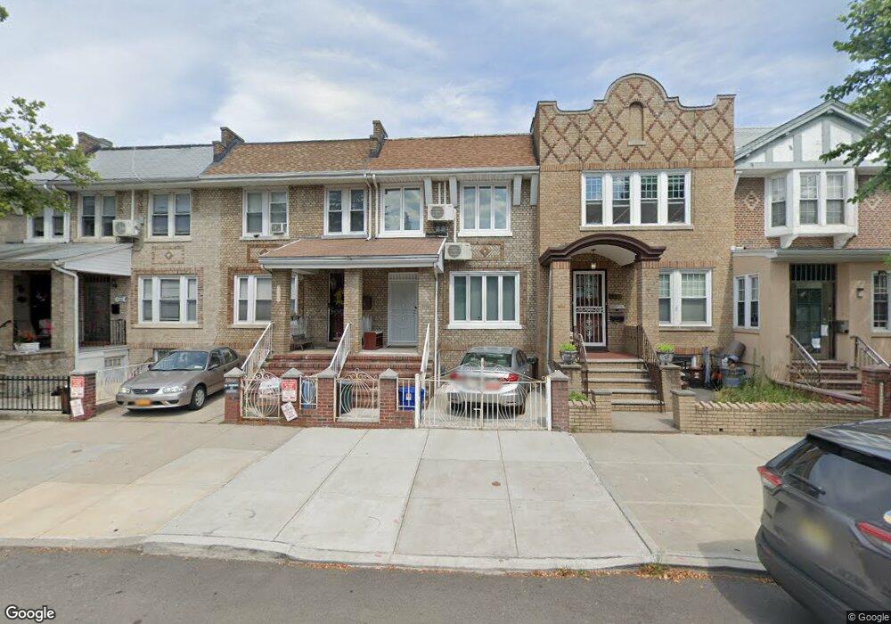
1729 W 10th St Brooklyn, NY 11223
Gravesend NeighborhoodEstimated Value: $1,077,218 - $1,144,000
--
Bed
--
Bath
1,408
Sq Ft
$784/Sq Ft
Est. Value
About This Home
This home is located at 1729 W 10th St, Brooklyn, NY 11223 and is currently estimated at $1,103,305, approximately $783 per square foot. 1729 W 10th St is a home located in Kings County with nearby schools including P.S. 97 - The Highlawn, Seth Low Intermediate School 96, and Success Academy Charter School - Bensonhurst.
Ownership History
Date
Name
Owned For
Owner Type
Purchase Details
Closed on
Feb 9, 2006
Sold by
Terzulli Santa S
Bought by
Chen Lawson X and Yung Bernice
Current Estimated Value
Home Financials for this Owner
Home Financials are based on the most recent Mortgage that was taken out on this home.
Original Mortgage
$400,000
Outstanding Balance
$224,784
Interest Rate
6.17%
Mortgage Type
Purchase Money Mortgage
Estimated Equity
$878,521
Purchase Details
Closed on
Jun 22, 2004
Sold by
Terzulli Teresa
Bought by
Terzulli Santa Susan and Terzulli Tommaso
Create a Home Valuation Report for This Property
The Home Valuation Report is an in-depth analysis detailing your home's value as well as a comparison with similar homes in the area
Home Values in the Area
Average Home Value in this Area
Purchase History
| Date | Buyer | Sale Price | Title Company |
|---|---|---|---|
| Chen Lawson X | $535,000 | -- | |
| Terzulli Santa Susan | $300,000 | -- |
Source: Public Records
Mortgage History
| Date | Status | Borrower | Loan Amount |
|---|---|---|---|
| Open | Chen Lawson X | $400,000 |
Source: Public Records
Tax History Compared to Growth
Tax History
| Year | Tax Paid | Tax Assessment Tax Assessment Total Assessment is a certain percentage of the fair market value that is determined by local assessors to be the total taxable value of land and additions on the property. | Land | Improvement |
|---|---|---|---|---|
| 2025 | $6,735 | $45,900 | $13,260 | $32,640 |
| 2024 | $6,735 | $52,560 | $13,260 | $39,300 |
| 2023 | $6,461 | $61,860 | $13,260 | $48,600 |
| 2022 | $5,721 | $54,000 | $13,260 | $40,740 |
| 2021 | $6,038 | $51,000 | $13,260 | $37,740 |
| 2020 | $2,947 | $55,380 | $13,260 | $42,120 |
| 2019 | $5,553 | $55,380 | $13,260 | $42,120 |
| 2018 | $5,107 | $26,512 | $6,613 | $19,899 |
| 2017 | $4,813 | $25,081 | $7,079 | $18,002 |
| 2016 | $4,704 | $25,081 | $7,552 | $17,529 |
| 2015 | $2,604 | $24,657 | $8,023 | $16,634 |
| 2014 | $2,604 | $23,288 | $9,093 | $14,195 |
Source: Public Records
Map
Nearby Homes
- 226 Kings Hwy
- 86 Quentin Rd
- 103 Quentin Rd Unit B503
- 133 Quentin Rd
- 60 Quentin Rd
- 1664 W 8th St
- 1720 W 12th St
- 1714 W 12th St
- 1708 W 12th St
- 44 Quentin Rd
- 104 Highlawn Ave
- 1639 W 9th St
- 290 Kings Hwy
- 1683 W 7th St Unit 3A
- 1683 W 7th St Unit 4B
- 1683 W 7th St Unit 3B
- 1683 W 7th St Unit 2B
- 1683 W 7th St Unit 5-B
- 1801 W 8th St
- 25 Quentin Rd