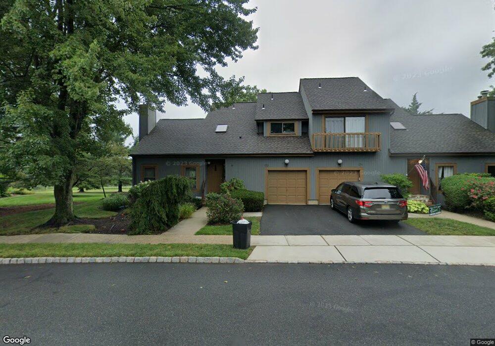
173 Arbor Cir Basking Ridge, NJ 07920
Estimated Value: $584,076 - $628,000
--
Bed
--
Bath
1,626
Sq Ft
$376/Sq Ft
Est. Value
About This Home
This home is located at 173 Arbor Cir, Basking Ridge, NJ 07920 and is currently estimated at $611,269, approximately $375 per square foot. 173 Arbor Cir is a home located in Somerset County with nearby schools including Liberty Corner Elementary School, William Annin Middle School, and Ridge High School.
Ownership History
Date
Name
Owned For
Owner Type
Purchase Details
Closed on
Jan 30, 1998
Sold by
Rendel John F
Bought by
Anderson Ralph O and Anderson Patricia
Current Estimated Value
Home Financials for this Owner
Home Financials are based on the most recent Mortgage that was taken out on this home.
Original Mortgage
$165,000
Outstanding Balance
$29,287
Interest Rate
7.03%
Estimated Equity
$581,982
Create a Home Valuation Report for This Property
The Home Valuation Report is an in-depth analysis detailing your home's value as well as a comparison with similar homes in the area
Home Values in the Area
Average Home Value in this Area
Purchase History
| Date | Buyer | Sale Price | Title Company |
|---|---|---|---|
| Anderson Ralph O | $215,000 | -- |
Source: Public Records
Mortgage History
| Date | Status | Borrower | Loan Amount |
|---|---|---|---|
| Open | Anderson Ralph O | $165,000 |
Source: Public Records
Tax History Compared to Growth
Tax History
| Year | Tax Paid | Tax Assessment Tax Assessment Total Assessment is a certain percentage of the fair market value that is determined by local assessors to be the total taxable value of land and additions on the property. | Land | Improvement |
|---|---|---|---|---|
| 2025 | $8,260 | $495,800 | $166,300 | $329,500 |
| 2024 | $8,260 | $464,300 | $166,300 | $298,000 |
| 2023 | $8,049 | $426,800 | $166,300 | $260,500 |
| 2022 | $7,990 | $397,300 | $166,300 | $231,000 |
| 2021 | $7,532 | $368,800 | $166,300 | $202,500 |
| 2020 | $7,595 | $362,700 | $166,300 | $196,400 |
| 2019 | $7,396 | $363,600 | $166,300 | $197,300 |
| 2018 | $7,431 | $370,600 | $166,300 | $204,300 |
| 2017 | $7,465 | $375,300 | $171,000 | $204,300 |
| 2016 | $7,369 | $377,700 | $171,000 | $206,700 |
| 2015 | $6,851 | $370,600 | $161,500 | $209,100 |
| 2014 | $6,478 | $347,900 | $161,500 | $186,400 |
Source: Public Records
Map
Nearby Homes
- 7 Chestnut Ct
- 2704 Hemlock Place
- 3601 Balsam Way
- 242 Alexandria Way
- 147 Alexandria Way Ondo
- 68 Alexandria Way
- 47 Woodward Ln Ondo
- 147 Potomac Dr Ondo
- 176 Potomac Dr
- 155 Woodward Ln
- 241 Potomac Dr Unit 5
- 417 Penns Way
- 243 Penns Way
- 155 Irving Place
- 341 Penns Way Unit D2
- 70 Baldwin Ct Unit D2
- 116 Jamestown Rd Unit 4
- 188 Jamestown Rd
- 78 Commonwealth Dr
- 65 Jamestown Rd Unit 9
- 171 Arbor Cir Unit 49
- 175 Arbor Cir
- 177 Arbor Cir
- 2 Hawthorne Place
- 4 Hawthorne Place
- 14 Chestnut Ct
- 15 Chestnut Ct
- 16 Chestnut Ct
- 12 Chestnut Ct
- 35 Chestnut Ct Unit 335
- 17 Chestnut Ct
- 36 Chestnut Ct Unit 336
- 11 Chestnut Ct
- 37 Chestnut Ct
- 34 Chestnut Ct Unit 334
- 181 Arbor Cir
- 6 Hawthorne Place
- 10 Chestnut Ct
- 9 Chestnut Ct
- 38 Chestnut Ct