173 Bates Rd Newburgh, ME 04444
Estimated Value: $482,592 - $511,000
4
Beds
3
Baths
2,508
Sq Ft
$198/Sq Ft
Est. Value
About This Home
This home is located at 173 Bates Rd, Newburgh, ME 04444 and is currently estimated at $496,796, approximately $198 per square foot. 173 Bates Rd is a home located in Penobscot County.
Ownership History
Date
Name
Owned For
Owner Type
Purchase Details
Closed on
Mar 1, 2007
Sold by
Roberts Dean C and Roberts Emma J
Bought by
Seavey William C and Seavey Erin C
Current Estimated Value
Home Financials for this Owner
Home Financials are based on the most recent Mortgage that was taken out on this home.
Original Mortgage
$188,000
Interest Rate
6.27%
Mortgage Type
Commercial
Create a Home Valuation Report for This Property
The Home Valuation Report is an in-depth analysis detailing your home's value as well as a comparison with similar homes in the area
Purchase History
| Date | Buyer | Sale Price | Title Company |
|---|---|---|---|
| Seavey William C | -- | -- |
Source: Public Records
Mortgage History
| Date | Status | Borrower | Loan Amount |
|---|---|---|---|
| Open | Seavey William C | $188,000 | |
| Closed | Seavey William C | $188,000 | |
| Closed | Seavey William C | $35,250 |
Source: Public Records
Tax History
| Year | Tax Paid | Tax Assessment Tax Assessment Total Assessment is a certain percentage of the fair market value that is determined by local assessors to be the total taxable value of land and additions on the property. | Land | Improvement |
|---|---|---|---|---|
| 2025 | $5,628 | $377,740 | $42,900 | $334,840 |
| 2024 | $5,194 | $381,928 | $42,902 | $339,026 |
| 2023 | $4,466 | $346,202 | $38,896 | $307,306 |
| 2022 | $4,154 | $271,495 | $30,645 | $240,850 |
| 2021 | $4,130 | $259,747 | $28,286 | $231,461 |
| 2020 | $2,912 | $240,690 | $25,930 | $214,760 |
| 2019 | $437 | $218,809 | $23,573 | $195,236 |
| 2018 | $394 | $221,160 | $23,573 | $197,587 |
| 2017 | $3,472 | $221,160 | $23,573 | $197,587 |
| 2016 | $315 | $223,513 | $23,573 | $199,940 |
| 2015 | $4,917 | $223,513 | $23,573 | $199,940 |
| 2014 | $3,280 | $229,400 | $23,200 | $206,200 |
| 2013 | $3,154 | $229,400 | $23,200 | $206,200 |
Source: Public Records
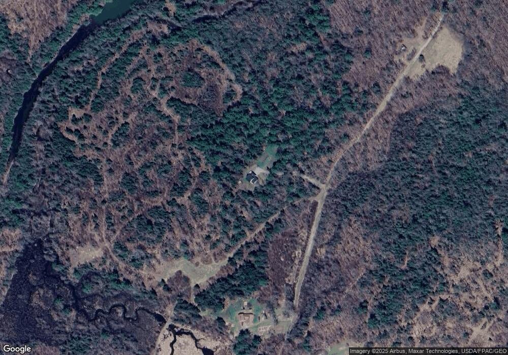
Map
Nearby Homes
- TBD North Rd
- 2490 Western Ave
- 2514 Western Ave
- 2443 Carmel Rd N
- 130 Kennard Rd
- 2206 Carmel Rd N
- 1083 North Rd
- 323, 324 Lots Map 5 Hampden Rd
- 1392 Carmel Rd N
- 323 Hampden Rd
- 1197 Western Ave
- 00 Babcock Rd
- 21 & 21-1 Kennebec & Old Kennebec Rd
- 25 Deer Hill Ln
- 0 Woodland Dr Unit 11
- 54 Piper Wood Rd
- 9 Deer Hill Ln
- 291 Sawyer Rd
- 177 Shaw Hill Rd
- 81 Fowler Rd
Your Personal Tour Guide
Ask me questions while you tour the home.