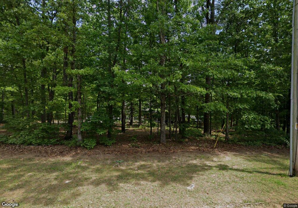
173 Bessie Ln Jasper, GA 30143
Estimated Value: $620,000 - $701,000
4
Beds
4
Baths
2,866
Sq Ft
$229/Sq Ft
Est. Value
About This Home
This home is located at 173 Bessie Ln, Jasper, GA 30143 and is currently estimated at $655,227, approximately $228 per square foot. 173 Bessie Ln is a home located in Pickens County with nearby schools including Tate Elementary School, Pickens County Middle School, and Pickens County High School.
Ownership History
Date
Name
Owned For
Owner Type
Purchase Details
Closed on
Mar 15, 2021
Sold by
Peacock James W
Bought by
Pendley John Edward R and Pendley Cruz A
Current Estimated Value
Home Financials for this Owner
Home Financials are based on the most recent Mortgage that was taken out on this home.
Original Mortgage
$502,550
Outstanding Balance
$450,729
Interest Rate
2.73%
Mortgage Type
New Conventional
Estimated Equity
$204,498
Purchase Details
Closed on
Jan 12, 2000
Sold by
Peacock James and Peacock Rebe
Bought by
Peacock James W and Peacock Rebecca
Purchase Details
Closed on
Aug 15, 1999
Sold by
Key Gregory A and Key Juli
Bought by
Peacock James and Peacock Rebe
Purchase Details
Closed on
Mar 21, 1997
Bought by
Key Gregory A and Key Juli
Create a Home Valuation Report for This Property
The Home Valuation Report is an in-depth analysis detailing your home's value as well as a comparison with similar homes in the area
Home Values in the Area
Average Home Value in this Area
Purchase History
| Date | Buyer | Sale Price | Title Company |
|---|---|---|---|
| Pendley John Edward R | $529,000 | -- | |
| Peacock James W | -- | -- | |
| Peacock James | $63,000 | -- | |
| Key Gregory A | $42,600 | -- |
Source: Public Records
Mortgage History
| Date | Status | Borrower | Loan Amount |
|---|---|---|---|
| Open | Pendley John Edward R | $502,550 |
Source: Public Records
Tax History Compared to Growth
Tax History
| Year | Tax Paid | Tax Assessment Tax Assessment Total Assessment is a certain percentage of the fair market value that is determined by local assessors to be the total taxable value of land and additions on the property. | Land | Improvement |
|---|---|---|---|---|
| 2024 | $3,616 | $182,728 | $27,650 | $155,078 |
| 2023 | $3,716 | $182,728 | $27,650 | $155,078 |
| 2022 | $3,716 | $182,728 | $27,650 | $155,078 |
| 2021 | $3,981 | $182,728 | $27,650 | $155,078 |
| 2020 | $2,226 | $104,166 | $18,138 | $86,028 |
| 2019 | $2,277 | $104,166 | $18,138 | $86,028 |
| 2018 | $2,298 | $104,166 | $18,138 | $86,028 |
| 2017 | $2,336 | $104,166 | $18,138 | $86,028 |
| 2016 | $2,373 | $104,166 | $18,138 | $86,028 |
| 2015 | $2,318 | $104,166 | $18,138 | $86,028 |
| 2014 | $2,323 | $104,166 | $18,138 | $86,028 |
| 2013 | -- | $104,166 | $18,138 | $86,028 |
Source: Public Records
Map
Nearby Homes
- 89 Paul Cir
- 380 Riverstone Way
- 175 Laiken Dr
- 444 Laiken Dr
- 00 Highway 515 S
- 1584 Kennesaw Ave
- 2063 Canton Rd
- 48 Worley Ct
- 206 Worley Dr
- 56 Preserve Point
- 98 Ivy Ridge Dr
- 3060 Cypress Cove
- 0 Highway 515 Unit 10177790
- 3040 Cypress Cove
- 1023 Laurel Lake Dr
- 97 Crossroad Cir
- 316 Kimberleys Crossing
- 0 Arrendale Rd Unit 10420813
- 8145 Brewton Bend
- 173 Bessie Ln Unit 15
- 127 Bessie Ln
- 127 Bessie Ln Unit 14
- 235 Bessie Ln
- 190 Bessie Ln
- 200 Bessie Ln
- 134 Bessie Ln
- 1130 Ray Mountain Rd
- 244 Bessie Ln
- 279 Bessie Ln
- 93 Bessie Ln
- 100 Bessie Ln
- 300 Bessie Ln
- 1152 Ray Mountain Rd
- 315 Bessie Ln
- 32 Bessie Ln
- 000 Bessie Ln
- 314 Bessie Ln
- 1107 Ray Mountain Rd
- 952 Ray Mountain Rd
