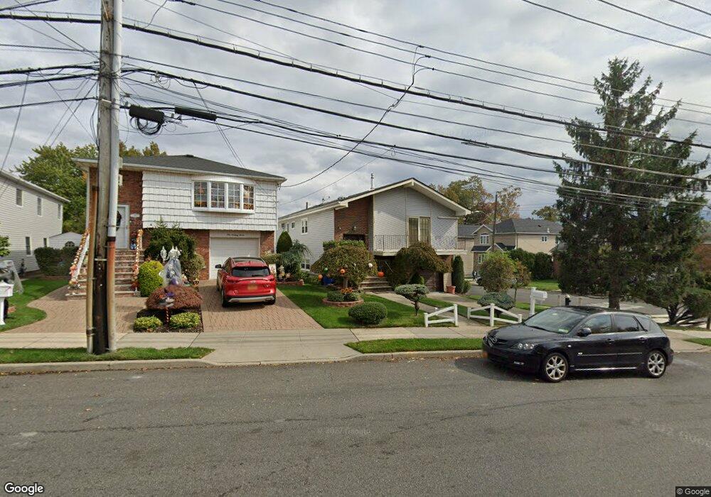
173 Foster Rd Staten Island, NY 10309
Prince's Bay NeighborhoodEstimated Value: $874,200 - $1,036,000
5
Beds
3
Baths
1,968
Sq Ft
$485/Sq Ft
Est. Value
About This Home
This home is located at 173 Foster Rd, Staten Island, NY 10309 and is currently estimated at $954,550, approximately $485 per square foot. 173 Foster Rd is a home located in Richmond County with nearby schools including P.S. 36 - J.C. Drumgoole, I.S. 007 Elias Bernstein, and Tottenville High School.
Ownership History
Date
Name
Owned For
Owner Type
Purchase Details
Closed on
Sep 27, 2000
Sold by
Jensen Richard B and Jensen Kathleen A
Bought by
Lala Nurizade Aydin and Lala Hajikasumova
Current Estimated Value
Home Financials for this Owner
Home Financials are based on the most recent Mortgage that was taken out on this home.
Original Mortgage
$279,000
Interest Rate
7.96%
Create a Home Valuation Report for This Property
The Home Valuation Report is an in-depth analysis detailing your home's value as well as a comparison with similar homes in the area
Home Values in the Area
Average Home Value in this Area
Purchase History
| Date | Buyer | Sale Price | Title Company |
|---|---|---|---|
| Lala Nurizade Aydin | $372,500 | -- |
Source: Public Records
Mortgage History
| Date | Status | Borrower | Loan Amount |
|---|---|---|---|
| Closed | Lala Nurizade Aydin | $279,000 |
Source: Public Records
Tax History Compared to Growth
Tax History
| Year | Tax Paid | Tax Assessment Tax Assessment Total Assessment is a certain percentage of the fair market value that is determined by local assessors to be the total taxable value of land and additions on the property. | Land | Improvement |
|---|---|---|---|---|
| 2025 | $7,957 | $44,280 | $11,737 | $32,543 |
| 2024 | $7,957 | $43,320 | $11,907 | $31,413 |
| 2023 | $7,590 | $37,374 | $10,478 | $26,896 |
| 2022 | $7,039 | $41,700 | $13,020 | $28,680 |
| 2021 | $7,000 | $36,900 | $13,020 | $23,880 |
| 2020 | $8,821 | $37,200 | $13,020 | $24,180 |
| 2019 | $8,576 | $36,480 | $13,020 | $23,460 |
| 2018 | $6,349 | $31,145 | $10,745 | $20,400 |
| 2017 | $5,990 | $29,383 | $10,881 | $18,502 |
| 2016 | $5,541 | $27,720 | $10,144 | $17,576 |
| 2015 | $5,280 | $27,720 | $8,741 | $18,979 |
| 2014 | $5,280 | $27,512 | $10,418 | $17,094 |
Source: Public Records
Map
Nearby Homes
- 274 Ashland Ave
- 61 Queensdale St
- 299 Foster Rd
- 93 Wheeling Ave
- 634 Darlington Ave
- 455 Darlington Ave
- 436 Ashland Ave
- 1047 Edgegrove Ave
- 1051 Edgegrove Ave
- 239 Vernon Ave
- 53 Ashland Ave E
- 872 Edgegrove Ave
- 37 Ashland Ave E
- 27 Ashland Ave E
- 101 West Terrace
- 19 Albourne Ave E
- 859 Lamont Ave
- 1594 Drumgoole Rd W
- 518 Bradford Ave
- 348 Darlington Ave
- 177 Foster Rd
- 181 Foster Rd
- 285 Bradford Ave
- 159 Foster Rd
- 292 Bradford Ave
- 279 Bradford Ave
- 286 Bradford Ave Unit Lower
- 286 Bradford Ave Unit 2nd. Floor
- 286 Bradford Ave Unit Upper
- 286 Bradford Ave
- 178 Foster Rd Unit 2
- 178 Foster Rd Unit 1
- 178 Foster Rd
- 174 Foster Rd
- 1512 Drumgoole Rd E
- 280 Bradford Ave Unit 2
- 280 Bradford Ave
- 182 Foster Rd
- 153 Foster Rd
- 275 Bradford Ave