173 Groce Rd La Fayette, GA 30728
Noble NeighborhoodEstimated Value: $207,000 - $274,000
--
Bed
2
Baths
1,140
Sq Ft
$201/Sq Ft
Est. Value
About This Home
This home is located at 173 Groce Rd, La Fayette, GA 30728 and is currently estimated at $228,931, approximately $200 per square foot. 173 Groce Rd is a home located in Walker County with nearby schools including Rock Spring Elementary School, Lafayette High School, and Alice M Daley Adventist School.
Ownership History
Date
Name
Owned For
Owner Type
Purchase Details
Closed on
May 5, 1997
Sold by
Krech Bill O
Bought by
Ritchie Haskel and Ritchie Iretta
Current Estimated Value
Purchase Details
Closed on
Sep 14, 1996
Sold by
Groce Kendall W and Groce Drexel
Bought by
Krech Bill O
Purchase Details
Closed on
Apr 20, 1981
Sold by
Stancil James A and Stancil Connie
Bought by
Groce Kendall W and Groce Drexel
Purchase Details
Closed on
Mar 11, 1976
Sold by
Hickey James W and Wf Helen
Bought by
Stancil James A and Stancil Connie
Purchase Details
Closed on
Oct 11, 1973
Bought by
Hickey James W and Wf Helen
Create a Home Valuation Report for This Property
The Home Valuation Report is an in-depth analysis detailing your home's value as well as a comparison with similar homes in the area
Home Values in the Area
Average Home Value in this Area
Purchase History
| Date | Buyer | Sale Price | Title Company |
|---|---|---|---|
| Ritchie Haskel | $77,000 | -- | |
| Krech Bill O | $60,000 | -- | |
| Groce Kendall W | $9,000 | -- | |
| Stancil James A | -- | -- | |
| Hickey James W | -- | -- |
Source: Public Records
Tax History Compared to Growth
Tax History
| Year | Tax Paid | Tax Assessment Tax Assessment Total Assessment is a certain percentage of the fair market value that is determined by local assessors to be the total taxable value of land and additions on the property. | Land | Improvement |
|---|---|---|---|---|
| 2024 | $1,808 | $81,162 | $15,725 | $65,437 |
| 2023 | $1,699 | $74,296 | $12,480 | $61,816 |
| 2022 | $1,687 | $67,702 | $15,200 | $52,502 |
| 2021 | $1,383 | $49,364 | $15,200 | $34,164 |
| 2020 | $1,248 | $42,471 | $15,200 | $27,271 |
| 2019 | $1,270 | $42,471 | $15,200 | $27,271 |
| 2018 | $1,124 | $42,471 | $15,200 | $27,271 |
| 2017 | $1,387 | $42,471 | $15,200 | $27,271 |
| 2016 | $1,169 | $42,471 | $15,200 | $27,271 |
| 2015 | $1,039 | $34,881 | $14,000 | $20,881 |
| 2014 | $945 | $34,881 | $14,000 | $20,881 |
| 2013 | -- | $34,881 | $14,000 | $20,881 |
Source: Public Records
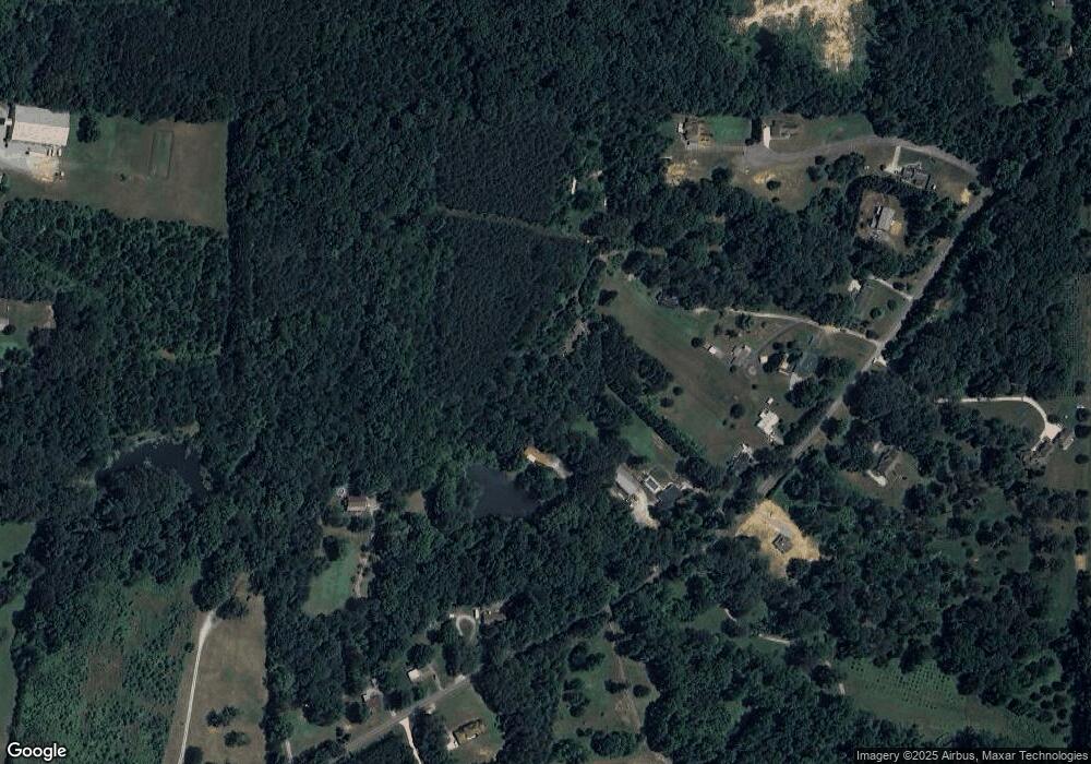
Map
Nearby Homes
- 0 Veeler Rd Unit 1522679
- 0 Veeler Rd Unit 10628696
- 23 Willow Cir
- 16 Willow Cir
- 11 Willow Cir
- 15 Willow Cir
- The Pearson Plan at Laurel Ridge
- The Benson II Plan at Laurel Ridge
- The Langford Plan at Laurel Ridge
- The Lawson Plan at Laurel Ridge
- The Piedmont Plan at Laurel Ridge
- The Coleman Plan at Laurel Ridge
- The McGinnis Plan at Laurel Ridge
- The Caldwell Plan at Laurel Ridge
- 329 Lynn Trail
- 4654 Us Highway 27
- 10180 Us Highway 27
- 4582 Highway N 27
- 4544 N Highway 27
- 709 Center Grove Rd
- 765 Center Grove Rd
- 783 Center Grove Rd
- 801 Center Grove Rd
- 601 Center Grove Rd
- 657 Center Grove Rd
- 519 Center Grove Rd
- 837 Center Grove Rd
- 144 Bridges Ln
- 599 Center Grove Rd
- 889 Center Grove Rd
- 134 Bridges Ln
- 556 Center Grove Rd
- 927 Center Grove Rd
- 549 Center Grove Rd
- 373 Center Grove Rd
- 180 Hogg Ln
- 457 Center Grove Rd
- LOT 1 Bridges Ln
- 57 Bridges Ln