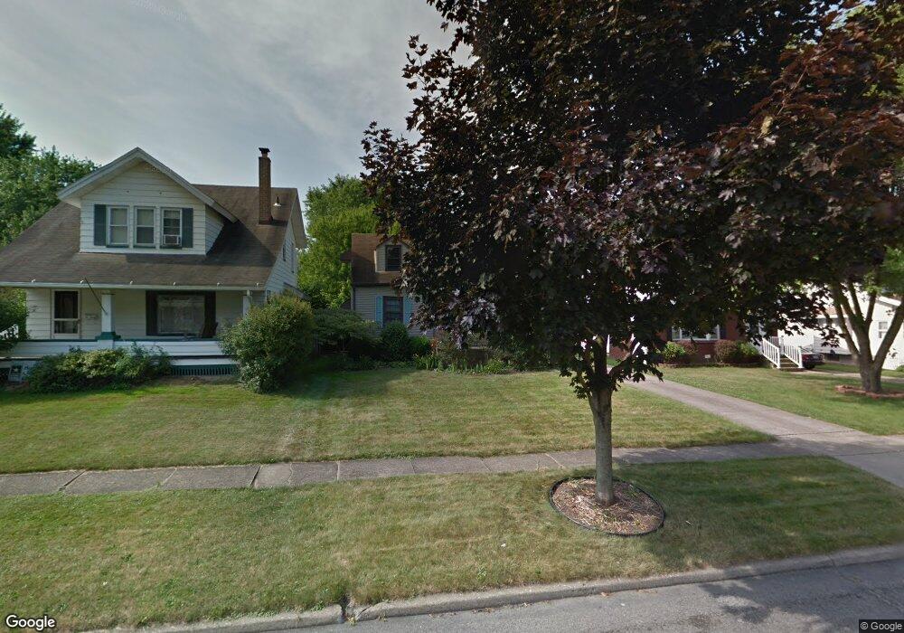
173 Melrose Ave Youngstown, OH 44512
Estimated Value: $116,000 - $139,000
2
Beds
2
Baths
1,152
Sq Ft
$111/Sq Ft
Est. Value
About This Home
This home is located at 173 Melrose Ave, Youngstown, OH 44512 and is currently estimated at $128,397, approximately $111 per square foot. 173 Melrose Ave is a home located in Mahoning County with nearby schools including Boardman Glenwood Junior High School, Boardman High School, and Horizon Science Academy - Youngstown.
Ownership History
Date
Name
Owned For
Owner Type
Purchase Details
Closed on
Jan 17, 2023
Sold by
Beight Cory A and Beight Nina
Bought by
Beight Cory A
Current Estimated Value
Purchase Details
Closed on
Mar 15, 2017
Sold by
Beight Lewis A
Bought by
Beight Cory E and Beight Nina
Purchase Details
Closed on
May 20, 2012
Sold by
Estate Of Sherry A Beight
Bought by
Beight Lewis A
Purchase Details
Closed on
Jul 25, 1990
Bought by
Beight Lewis A and Beight Sherry
Create a Home Valuation Report for This Property
The Home Valuation Report is an in-depth analysis detailing your home's value as well as a comparison with similar homes in the area
Home Values in the Area
Average Home Value in this Area
Purchase History
| Date | Buyer | Sale Price | Title Company |
|---|---|---|---|
| Beight Cory A | -- | None Listed On Document | |
| Beight Cory A | -- | None Listed On Document | |
| Beight Cory E | -- | None Available | |
| Beight Lewis A | -- | None Available | |
| Beight Lewis A | $45,900 | -- |
Source: Public Records
Tax History Compared to Growth
Tax History
| Year | Tax Paid | Tax Assessment Tax Assessment Total Assessment is a certain percentage of the fair market value that is determined by local assessors to be the total taxable value of land and additions on the property. | Land | Improvement |
|---|---|---|---|---|
| 2024 | $1,633 | $31,150 | $4,400 | $26,750 |
| 2023 | $1,576 | $31,150 | $4,400 | $26,750 |
| 2022 | $1,594 | $24,130 | $4,070 | $20,060 |
| 2021 | $1,595 | $24,130 | $4,070 | $20,060 |
| 2020 | $1,604 | $24,130 | $4,070 | $20,060 |
| 2019 | $1,554 | $20,620 | $3,480 | $17,140 |
| 2018 | $1,345 | $20,620 | $3,480 | $17,140 |
| 2017 | $1,342 | $20,620 | $3,480 | $17,140 |
| 2016 | $1,492 | $22,710 | $3,890 | $18,820 |
| 2015 | $1,463 | $22,710 | $3,890 | $18,820 |
| 2014 | $1,428 | $22,710 | $3,890 | $18,820 |
| 2013 | $1,410 | $22,710 | $3,890 | $18,820 |
Source: Public Records
Map
Nearby Homes
- 167 Afton Ave
- 127 Melrose Ave
- 149 Argyle Ave
- 81 Melrose Ave
- 329 Afton Ave
- 175 Homestead Dr
- 0 Indianola Rd
- 0 Mathews Rd Unit 5038026
- 44 Gertrude Ave
- 148 Clifton Dr
- 197 Mathews Rd Unit B
- 429 Tudor Ln
- 0 Cranberry Ln Unit 5170595
- 6001 Applecrest Dr
- 83 Beechwood Dr
- 28 Terrace Dr
- 94 Beechwood Dr
- 4715 Euclid Blvd
- 4552 New England Blvd
- 424 Mathews Rd
- 175 Melrose Ave
- 167 Melrose Ave
- 181 Melrose Ave
- 165 Melrose Ave
- 0 Melrose Ave
- 161 Melrose Ave
- 183 Melrose Ave
- 174 Erskine Ave
- 166 Erskine Ave
- 180 Erskine Ave
- 197 Melrose Ave
- 157 Melrose Ave
- 162 Erskine Ave
- 174 Melrose Ave
- 180 Melrose Ave
- 162 Melrose Ave
- 156 Erskine Ave
- 199 Melrose Ave
- 153 Melrose Ave
- 158 Melrose Ave