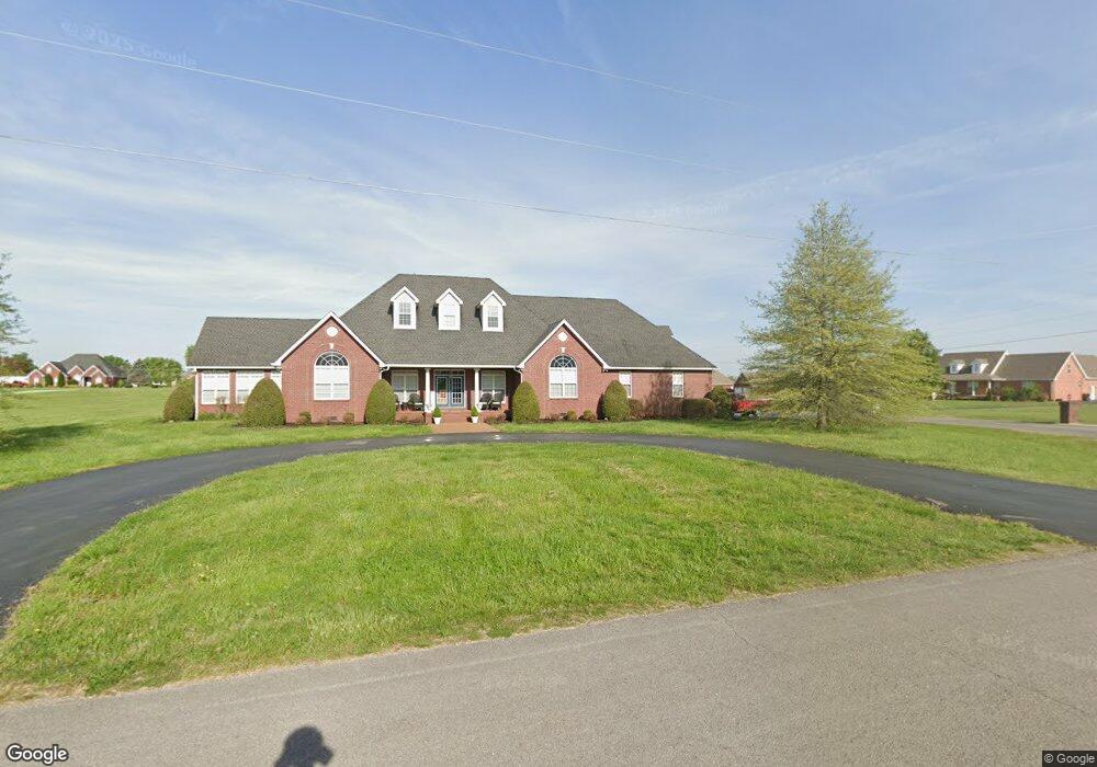
173 Michael Cir Lafayette, TN 37083
Estimated Value: $815,000 - $1,188,000
--
Bed
4
Baths
8,928
Sq Ft
$119/Sq Ft
Est. Value
About This Home
This home is located at 173 Michael Cir, Lafayette, TN 37083 and is currently estimated at $1,062,827, approximately $119 per square foot. 173 Michael Cir is a home located in Macon County with nearby schools including Macon Christian Academy and Lighthouse Academy.
Ownership History
Date
Name
Owned For
Owner Type
Purchase Details
Closed on
Jul 13, 2020
Sold by
Hix Dale and Hix Kristen
Bought by
Carver Bobby E and Carver Nancy
Current Estimated Value
Home Financials for this Owner
Home Financials are based on the most recent Mortgage that was taken out on this home.
Original Mortgage
$270,000
Outstanding Balance
$238,348
Interest Rate
3.1%
Mortgage Type
Future Advance Clause Open End Mortgage
Estimated Equity
$824,479
Purchase Details
Closed on
Feb 23, 2017
Sold by
Hix Dale
Bought by
Wilson Sylvia Tuck
Create a Home Valuation Report for This Property
The Home Valuation Report is an in-depth analysis detailing your home's value as well as a comparison with similar homes in the area
Home Values in the Area
Average Home Value in this Area
Purchase History
| Date | Buyer | Sale Price | Title Company |
|---|---|---|---|
| Carver Bobby E | $50,000 | Benchmark Title Company | |
| Wilson Sylvia Tuck | $379,000 | -- |
Source: Public Records
Mortgage History
| Date | Status | Borrower | Loan Amount |
|---|---|---|---|
| Open | Carver Bobby E | $270,000 |
Source: Public Records
Tax History Compared to Growth
Tax History
| Year | Tax Paid | Tax Assessment Tax Assessment Total Assessment is a certain percentage of the fair market value that is determined by local assessors to be the total taxable value of land and additions on the property. | Land | Improvement |
|---|---|---|---|---|
| 2025 | $5,237 | $284,975 | $42,600 | $242,375 |
| 2024 | $5,237 | $329,325 | $42,600 | $286,725 |
| 2023 | $6,191 | $329,325 | $0 | $0 |
| 2022 | $5,887 | $186,875 | $28,700 | $158,175 |
| 2021 | $5,793 | $186,875 | $28,700 | $158,175 |
| 2020 | $5,222 | $186,875 | $28,700 | $158,175 |
| 2019 | $5,222 | $168,475 | $44,825 | $123,650 |
| 2018 | $4,828 | $168,475 | $44,825 | $123,650 |
| 2017 | $4,596 | $140,575 | $20,300 | $120,275 |
| 2016 | $4,428 | $140,575 | $20,300 | $120,275 |
| 2015 | $4,428 | $140,575 | $20,300 | $120,275 |
| 2014 | $4,428 | $140,568 | $0 | $0 |
Source: Public Records
Map
Nearby Homes
- 351 Michael Cir
- 195 Froedge Dr
- 315 Froedge Dr
- 495 Froedge Dr
- 10 Mcnabb Ln
- 5142 Highway 52 W
- 90 Long Creek Rd
- 1401 Ellington Dr
- 1400 Dogwood Ln
- 1021 Maple Grove Rd
- 100 Ourtown Ct
- 414 Meador Dr
- 412 Meador Dr
- 1305 Scottsville Rd
- 1414 Hillwood Cir
- 1212 Hollis Ln
- 1403 Flippin Dr
- 130 Mazie Dr
- 306 Cassie Dr
- 788 Long Creek Rd
- 9 Froedge Dr
- 27 Froedge Dr
- 111 Michael Cir
- 190 Michael Cir
- 114 Michael Cir
- 0 Michael Cir
- 79 Michael Cir
- 276 Michael Cir
- 65 Froedge Dr
- 371 Michael Cir
- 80 Froedge Dr
- 328 Michael Cir
- 300 Michael Cir
- 84 Michael Cir
- 288 Michael Cir
- 0 William Cir
- 350 Michael Cir
- 184 Brattontown Cir
- 50 Michael Cir
- 40 William Cir