173 Pheasant Run Cleveland, OH 44124
Estimated Value: $214,000 - $225,000
2
Beds
3
Baths
1,372
Sq Ft
$160/Sq Ft
Est. Value
About This Home
This home is located at 173 Pheasant Run, Cleveland, OH 44124 and is currently estimated at $219,511, approximately $159 per square foot. 173 Pheasant Run is a home located in Cuyahoga County with nearby schools including Mayfield High School, Gilmour Academy, and University School.
Ownership History
Date
Name
Owned For
Owner Type
Purchase Details
Closed on
Mar 14, 1991
Sold by
Silverman Maurice A
Bought by
Peeler Monroe
Current Estimated Value
Purchase Details
Closed on
Jan 28, 1987
Sold by
Wacs Elaine M
Bought by
Silverman Maurice A
Purchase Details
Closed on
Oct 10, 1986
Sold by
Wachs Sidney J
Bought by
Wacs Elaine M
Purchase Details
Closed on
Jul 21, 1986
Sold by
Wachs Sidney J and E M
Bought by
Wachs Sidney J
Purchase Details
Closed on
Jan 1, 1986
Bought by
Wachs Sidney J and E M
Create a Home Valuation Report for This Property
The Home Valuation Report is an in-depth analysis detailing your home's value as well as a comparison with similar homes in the area
Home Values in the Area
Average Home Value in this Area
Purchase History
| Date | Buyer | Sale Price | Title Company |
|---|---|---|---|
| Peeler Monroe | $126,000 | -- | |
| Silverman Maurice A | $129,000 | -- | |
| Wacs Elaine M | -- | -- | |
| Wachs Sidney J | $120,000 | -- | |
| Wachs Sidney J | -- | -- |
Source: Public Records
Tax History Compared to Growth
Tax History
| Year | Tax Paid | Tax Assessment Tax Assessment Total Assessment is a certain percentage of the fair market value that is determined by local assessors to be the total taxable value of land and additions on the property. | Land | Improvement |
|---|---|---|---|---|
| 2024 | $3,216 | $58,380 | $5,845 | $52,535 |
| 2023 | $2,546 | $44,980 | $4,520 | $40,460 |
| 2022 | $2,684 | $44,980 | $4,520 | $40,460 |
| 2021 | $2,656 | $44,980 | $4,520 | $40,460 |
| 2020 | $2,599 | $41,270 | $4,130 | $37,140 |
| 2019 | $2,519 | $117,900 | $11,800 | $106,100 |
| 2018 | $1,790 | $41,270 | $4,130 | $37,140 |
| 2017 | $2,481 | $38,860 | $3,610 | $35,250 |
| 2016 | $2,462 | $38,860 | $3,610 | $35,250 |
| 2015 | $2,971 | $38,860 | $3,610 | $35,250 |
| 2014 | $2,971 | $48,550 | $4,520 | $44,030 |
Source: Public Records
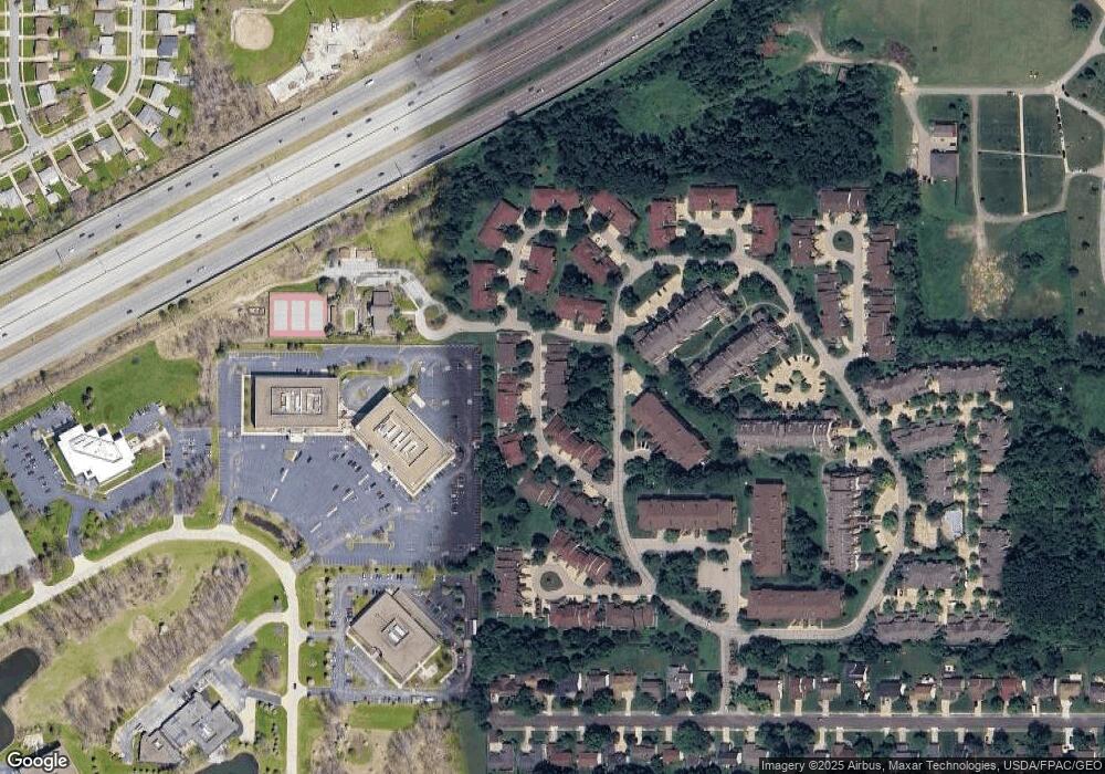
Map
Nearby Homes
- 140 Fox Hollow Dr Unit 201A
- 200 Fox Hollow Dr Unit 100
- 200 Fox Hollow Dr Unit 104
- 180 Fox Hollow Dr Unit 105
- 220 Fox Hollow Dr Unit 308
- 210 Teal Trace Unit 210
- 6344 Woodhawk Dr
- 6419 Longridge Rd
- 6464 Woodhawk Dr
- 6132 Westerham Rd
- 1604 Fruitland Ave
- 1593 Woodhurst Ave
- 1542 Woodhurst Ave
- 1520 Fruitland Ave
- 1572 Crestwood Rd
- 1637 Lander Rd
- 5960 Cantwell Dr
- 6578 Gates Mills Blvd
- 46 Bridgeport Way
- 43 Bridgeport Way
- 171 Pheasant Run
- 175 Pheasant Run Unit 175TA
- 169 Pheasant Run
- 169 Pheasant Run Unit 169
- 177 Pheasant Run Unit 177
- 179 Pheasant Run
- 179 Pheasant Run Unit 179
- 170 Pheasant Run
- 149 Pheasant Run Unit 149
- 147 Pheasant Run Unit 147
- 172 Pheasant Run
- 172 Pheasant Run Unit 172
- 168 Pheasant Run Unit 168
- 168 Pheasant Run Unit 1
- 153 Pheasant Run Unit 153
- 178 Pheasant Run
- 178 Pheasant Run Unit 178
- 155 Pheasant Run
- 180 Pheasant Run Unit 180
- 241 Quail Roost Unit 241