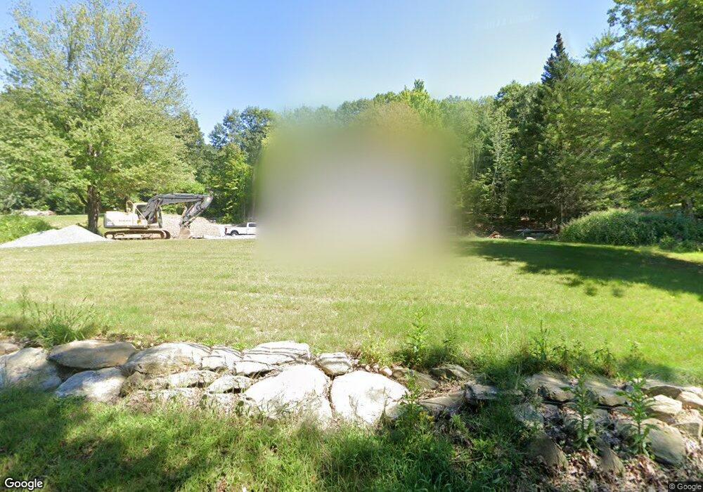
173 S Ashburnham Rd Westminster, MA 01473
Estimated Value: $611,000 - $745,000
3
Beds
2
Baths
1,956
Sq Ft
$343/Sq Ft
Est. Value
About This Home
This home is located at 173 S Ashburnham Rd, Westminster, MA 01473 and is currently estimated at $670,783, approximately $342 per square foot. 173 S Ashburnham Rd is a home with nearby schools including Oakmont Regional High School.
Ownership History
Date
Name
Owned For
Owner Type
Purchase Details
Closed on
Aug 12, 2021
Sold by
Smith Wesley H
Bought by
Smith Wesley H and Smith Emily K
Current Estimated Value
Home Financials for this Owner
Home Financials are based on the most recent Mortgage that was taken out on this home.
Original Mortgage
$436,000
Outstanding Balance
$396,731
Interest Rate
2.9%
Mortgage Type
New Conventional
Estimated Equity
$274,052
Purchase Details
Closed on
Jul 22, 1983
Bought by
Cutler Jane M and Bulli John A
Create a Home Valuation Report for This Property
The Home Valuation Report is an in-depth analysis detailing your home's value as well as a comparison with similar homes in the area
Home Values in the Area
Average Home Value in this Area
Purchase History
| Date | Buyer | Sale Price | Title Company |
|---|---|---|---|
| Smith Wesley H | -- | None Available | |
| Smith Wesley H | -- | None Available | |
| Cutler Jane M | -- | -- |
Source: Public Records
Mortgage History
| Date | Status | Borrower | Loan Amount |
|---|---|---|---|
| Open | Smith Wesley H | $436,000 | |
| Closed | Smith Wesley H | $436,000 |
Source: Public Records
Tax History Compared to Growth
Tax History
| Year | Tax Paid | Tax Assessment Tax Assessment Total Assessment is a certain percentage of the fair market value that is determined by local assessors to be the total taxable value of land and additions on the property. | Land | Improvement |
|---|---|---|---|---|
| 2025 | $7,059 | $573,900 | $119,200 | $454,700 |
| 2024 | $6,721 | $548,200 | $119,200 | $429,000 |
| 2023 | $4,169 | $319,200 | $111,300 | $207,900 |
| 2022 | $1,578 | $99,900 | $96,900 | $3,000 |
| 2021 | $1,609 | $96,000 | $83,200 | $12,800 |
| 2020 | $1,544 | $88,000 | $75,700 | $12,300 |
| 2019 | $1,365 | $74,800 | $62,500 | $12,300 |
| 2018 | $1,360 | $73,300 | $62,500 | $10,800 |
| 2017 | $1,330 | $73,100 | $62,500 | $10,600 |
| 2016 | $1,176 | $62,600 | $52,000 | $10,600 |
| 2015 | $1,186 | $62,600 | $52,000 | $10,600 |
| 2014 | $1,188 | $62,600 | $52,000 | $10,600 |
Source: Public Records
Map
Nearby Homes
- 11 Syd Smith Rd
- 0-1 Bean Porridge Hill Rd
- 0 Syd Smith Rd (Rear)
- 0 Syd Smith Rd Map 71 Lot 4-2
- 0
- 0 Syd Smith Rd Unit 73395578
- 73 N Common Rd
- 26 Bathrick Rd
- 55 Newcomb Rd
- 47 Newcomb Rd
- 208 Bean Porridge Hill Rd
- 22 Heritage Ln
- 16 Old Mill Cir
- 25 Newcomb Rd
- 15 Kirali Ct
- 51 State Rd E
- 70 Ashburnham State Rd
- 1317 Westminster St
- 45 Bacon St
- 139 Parson Cir
- 169 S Ashburnham Rd
- 179 S Ashburnham Rd
- 1 Tommy Francis Rd
- 165 S Ashburnham Rd
- 164 S Ashburnham Rd Unit B
- 183 S Ashburnham Rd
- 15 Tommy Francis Rd
- 185 S Ashburnham Rd
- 159 S Ashburnham Rd
- 177 S Ashburnham Rd
- 187 S Ashburnham Rd
- 190 S Ashburnham Rd
- 11 Tommy Francis Rd
- 155 S Ashburnham Rd
- 194 S Ashburnham Rd
- 191 S Ashburnham Rd
- 9 Tommy Francis Rd
- 158 S Ashburnham Rd
- 14 Tommy Francis Rd
- 196 S Ashburnham Rd
