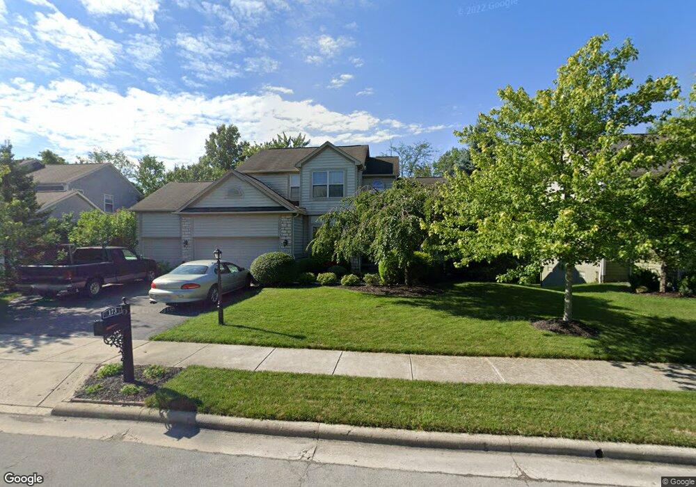
173 Wagon Trail S Powell, OH 43065
Estimated Value: $553,000 - $598,000
4
Beds
3
Baths
2,417
Sq Ft
$238/Sq Ft
Est. Value
About This Home
This home is located at 173 Wagon Trail S, Powell, OH 43065 and is currently estimated at $575,030, approximately $237 per square foot. 173 Wagon Trail S is a home located in Delaware County with nearby schools including Tyler Run Elementary School, Olentangy Liberty Middle School, and Olentangy Liberty High School.
Ownership History
Date
Name
Owned For
Owner Type
Purchase Details
Closed on
Dec 13, 2005
Sold by
Rockford Homes Inc
Bought by
Sony Norman and Sony Frances G
Current Estimated Value
Home Financials for this Owner
Home Financials are based on the most recent Mortgage that was taken out on this home.
Original Mortgage
$32,983
Outstanding Balance
$25,994
Interest Rate
6.48%
Mortgage Type
Credit Line Revolving
Estimated Equity
$549,036
Create a Home Valuation Report for This Property
The Home Valuation Report is an in-depth analysis detailing your home's value as well as a comparison with similar homes in the area
Home Values in the Area
Average Home Value in this Area
Purchase History
| Date | Buyer | Sale Price | Title Company |
|---|---|---|---|
| Sony Norman | $329,900 | Title First |
Source: Public Records
Mortgage History
| Date | Status | Borrower | Loan Amount |
|---|---|---|---|
| Open | Sony Norman | $32,983 | |
| Open | Sony Norman | $263,868 |
Source: Public Records
Tax History
| Year | Tax Paid | Tax Assessment Tax Assessment Total Assessment is a certain percentage of the fair market value that is determined by local assessors to be the total taxable value of land and additions on the property. | Land | Improvement |
|---|---|---|---|---|
| 2024 | $9,913 | $158,240 | $34,550 | $123,690 |
| 2023 | $10,134 | $158,240 | $34,550 | $123,690 |
| 2022 | $9,455 | $123,450 | $24,260 | $99,190 |
| 2021 | $9,596 | $123,450 | $24,260 | $99,190 |
| 2020 | $9,626 | $123,450 | $24,260 | $99,190 |
| 2019 | $8,017 | $106,120 | $22,050 | $84,070 |
| 2018 | $8,097 | $106,120 | $22,050 | $84,070 |
| 2017 | $7,925 | $103,080 | $19,430 | $83,650 |
| 2016 | $8,362 | $103,080 | $19,430 | $83,650 |
| 2015 | $7,705 | $103,080 | $19,430 | $83,650 |
| 2014 | $7,793 | $103,080 | $19,430 | $83,650 |
| 2013 | $7,530 | $97,620 | $19,430 | $78,190 |
Source: Public Records
Map
Nearby Homes
- 97 Murphys Crossing Dr
- 1937 Liberty St
- 120 S Liberty St
- 18 Murphys View Place Unit I18
- 424 Whitaker Ave S
- 104 Encore Park Bend
- 255 Winter Hill Place
- 130 Barrington Place
- 149 Chedworth Row
- 170 Barrington Place
- 471 Commons Dr Unit 471
- 22 Brookehill Dr
- 149 Trail Edge Cir
- 9406 Cadogan Ct
- 22 Liberty Ridge Ave
- 10010 Beckford Ct
- 3899 Hampshire Ave
- 0 Bunker Ln
- 86 Cressingham Ln
- 9529 Wayne Brown Dr
- 163 Wagon Trail S
- 185 Wagon Trail S
- 153 Wagon Trail S
- 193 Wagon Trail S
- 257 Donerail Ave
- 247 Donerail Ave
- 162 Wagon Trail S
- 174 Wagon Trail S
- 143 Wagon Trail S
- 203 Wagon Trail S
- 184 Wagon Trail S
- 267 Donerail Ave
- 144 Wagon Trail S
- 196 Wagon Trail S
- 237 Donerail Ave
- 340 Delaneys Cir
- 330 Delaneys Cir
- 213 Wagon Trail S
- 133 Wagon Trail Ct
- 204 Wagon Trail S
Your Personal Tour Guide
Ask me questions while you tour the home.