173 Wamphassuc Rd Stonington, CT 06378
Estimated Value: $2,044,000 - $3,184,454
3
Beds
3
Baths
1,076
Sq Ft
$2,291/Sq Ft
Est. Value
About This Home
This home is located at 173 Wamphassuc Rd, Stonington, CT 06378 and is currently estimated at $2,464,818, approximately $2,290 per square foot. 173 Wamphassuc Rd is a home located in New London County with nearby schools including Stonington Middle School, Stonington High School, and Pine Point School.
Ownership History
Date
Name
Owned For
Owner Type
Purchase Details
Closed on
Sep 23, 1998
Sold by
Hughes David H
Bought by
Falkman Edwin G
Current Estimated Value
Purchase Details
Closed on
Dec 1, 1995
Sold by
Wood Kate V Est
Bought by
Hughes David H
Create a Home Valuation Report for This Property
The Home Valuation Report is an in-depth analysis detailing your home's value as well as a comparison with similar homes in the area
Home Values in the Area
Average Home Value in this Area
Purchase History
| Date | Buyer | Sale Price | Title Company |
|---|---|---|---|
| Falkman Edwin G | $1,215,000 | -- | |
| Falkman Edwin G | $1,215,000 | -- | |
| Hughes David H | $792,000 | -- | |
| Hughes David H | $792,000 | -- |
Source: Public Records
Mortgage History
| Date | Status | Borrower | Loan Amount |
|---|---|---|---|
| Open | Hughes David H | $1,250,000 | |
| Closed | Hughes David H | $987,000 | |
| Closed | Hughes David H | $1,000,000 |
Source: Public Records
Tax History
| Year | Tax Paid | Tax Assessment Tax Assessment Total Assessment is a certain percentage of the fair market value that is determined by local assessors to be the total taxable value of land and additions on the property. | Land | Improvement |
|---|---|---|---|---|
| 2025 | $38,549 | $2,082,600 | $1,692,400 | $390,200 |
| 2024 | $37,008 | $2,082,600 | $1,692,400 | $390,200 |
| 2023 | $37,066 | $2,082,600 | $1,692,400 | $390,200 |
| 2022 | $37,332 | $1,543,300 | $1,280,100 | $263,200 |
| 2021 | $37,627 | $1,543,300 | $1,280,100 | $263,200 |
| 2020 | $36,831 | $1,543,300 | $1,280,100 | $263,200 |
| 2019 | $2,956 | $1,543,300 | $1,280,100 | $263,200 |
| 2018 | $35,749 | $1,543,300 | $1,280,100 | $263,200 |
| 2017 | $3,149 | $1,530,300 | $1,288,100 | $242,200 |
| 2016 | $34,814 | $1,530,300 | $1,288,100 | $242,200 |
| 2015 | $33,310 | $1,530,300 | $1,288,100 | $242,200 |
| 2014 | $31,902 | $1,530,300 | $1,288,100 | $242,200 |
Source: Public Records
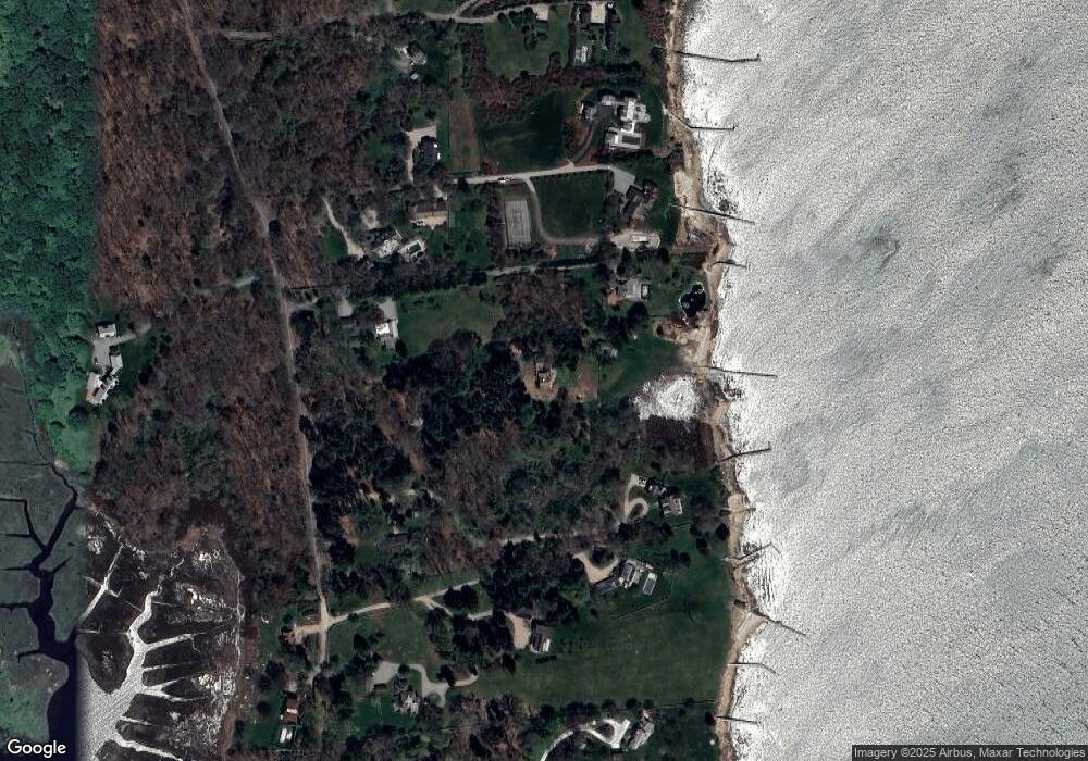
Map
Nearby Homes
- 181 Wamphassuc Point Rd
- 159 Wamphassuc Point Rd
- 159 Wamphassuc Rd
- 161 Wamphassuc Rd
- 181 Wamphassuc Rd
- 193 Wamphassuc Rd
- 149 Wamphassuc Rd
- 151 Wamphassuc Rd
- 195 Wamphassuc Rd
- 145 Wamphassuc Rd
- 147 Wamphassuc Rd
- 199 Wamphassuc Rd
- 131 Wamphassuc Rd
- 229 Wamphassuc Rd
- 200 Wamphassuc Rd
- 129 Wamphassuc Rd
- 0 Wamphassuc Rd
- 164 Wamphassuc Rd
- 221 Wamphassuc Rd
- 127 Wamphassuc Rd
Your Personal Tour Guide
Ask me questions while you tour the home.