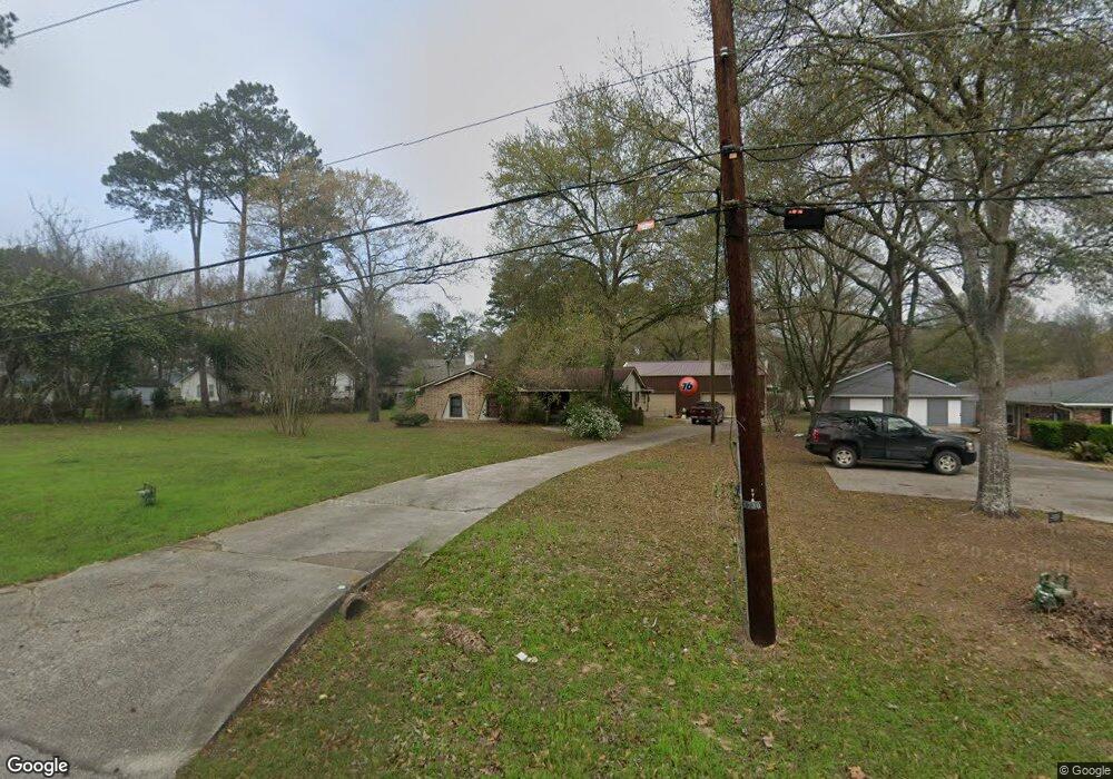
1730 Baker Dr Tomball, TX 77375
Estimated Value: $314,000 - $361,000
4
Beds
2
Baths
1,854
Sq Ft
$178/Sq Ft
Est. Value
About This Home
This home is located at 1730 Baker Dr, Tomball, TX 77375 and is currently estimated at $330,480, approximately $178 per square foot. 1730 Baker Dr is a home located in Harris County with nearby schools including Tomball Elementary School, Tomball Intermediate School, and Tomball Junior High School.
Ownership History
Date
Name
Owned For
Owner Type
Purchase Details
Closed on
Aug 24, 1998
Sold by
Stafford William E and Stafford Julie A
Bought by
Stafford William E
Current Estimated Value
Home Financials for this Owner
Home Financials are based on the most recent Mortgage that was taken out on this home.
Original Mortgage
$104,500
Outstanding Balance
$21,763
Interest Rate
6.9%
Estimated Equity
$308,717
Create a Home Valuation Report for This Property
The Home Valuation Report is an in-depth analysis detailing your home's value as well as a comparison with similar homes in the area
Home Values in the Area
Average Home Value in this Area
Purchase History
| Date | Buyer | Sale Price | Title Company |
|---|---|---|---|
| Stafford William E | -- | Regency Title |
Source: Public Records
Mortgage History
| Date | Status | Borrower | Loan Amount |
|---|---|---|---|
| Open | Stafford William E | $104,500 |
Source: Public Records
Tax History Compared to Growth
Tax History
| Year | Tax Paid | Tax Assessment Tax Assessment Total Assessment is a certain percentage of the fair market value that is determined by local assessors to be the total taxable value of land and additions on the property. | Land | Improvement |
|---|---|---|---|---|
| 2025 | $4,061 | $262,017 | $50,941 | $211,076 |
| 2024 | $4,061 | $262,017 | $50,941 | $211,076 |
| 2023 | $4,061 | $246,809 | $46,811 | $199,998 |
| 2022 | $4,582 | $206,038 | $39,238 | $166,800 |
| 2021 | $4,383 | $184,802 | $34,420 | $150,382 |
| 2020 | $4,224 | $172,232 | $34,420 | $137,812 |
| 2019 | $4,297 | $170,323 | $28,913 | $141,410 |
| 2018 | $2,023 | $175,964 | $28,913 | $147,051 |
| 2017 | $4,373 | $175,964 | $28,913 | $147,051 |
| 2016 | $3,976 | $157,767 | $28,913 | $128,854 |
| 2015 | $3,209 | $149,907 | $28,913 | $120,994 |
| 2014 | $3,209 | $145,540 | $28,913 | $116,627 |
Source: Public Records
Map
Nearby Homes
- 14219 Turnervine Dr
- 11211 Stirton Dr
- 11235 Stirton Dr
- 29507 Cedar Elm Way
- 14123 Spring Pines Dr
- 1315 Big Pines
- 1314 Pine Brook
- 1319 Pine Trail
- 1310 Big Pines
- 1602 Alpine Dr
- 14222 Spring Pines Dr
- 1302 Pine Trail
- 930 Arbor Pine
- 0 Keen Rd
- 14210 Altair Dr
- 29915 Texas 249
- 31318 Bearing Star Ln
- 14134 Pollux Ct
- 1126 Audrey Trail
- 28102 Linda Ln
- 14227 Turnervine Dr
- 14235 Turnervine Dr
- 14212 Turnervine Dr
- 14218 Turnervine Dr
- 14226 Turnervine Dr
- 1714 Baker Dr
- 14210 Turnervine Dr
- 1600 Baker
- 14175 Turnervine Dr
- 14234 Turnervine Dr
- 14243 Turnervine Dr
- 1810 Baker Dr
- 14202 Turnervine Dr
- 14242 Turnervine Dr
- 1710 Baker Dr
- 14161 Turnervine Dr
- 14227 Buckingham Ln
- 14219 Buckingham Ln
- 14251 Turnervine Dr
- 14235 Buckingham Ln