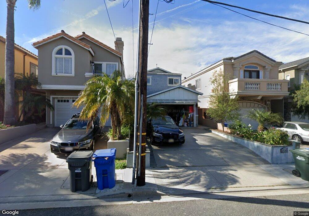
1730 Haynes Ln Redondo Beach, CA 90278
North Redondo Beach NeighborhoodEstimated Value: $1,298,000 - $1,530,000
3
Beds
2
Baths
1,194
Sq Ft
$1,183/Sq Ft
Est. Value
About This Home
This home is located at 1730 Haynes Ln, Redondo Beach, CA 90278 and is currently estimated at $1,412,816, approximately $1,183 per square foot. 1730 Haynes Ln is a home located in Los Angeles County with nearby schools including Jefferson Elementary School, Parras (Nick G.) Middle School, and Redondo Union High School.
Ownership History
Date
Name
Owned For
Owner Type
Purchase Details
Closed on
Sep 15, 2004
Sold by
Kozai John
Bought by
Bubenicek Jason A and Bubenicek Dayna A
Current Estimated Value
Home Financials for this Owner
Home Financials are based on the most recent Mortgage that was taken out on this home.
Original Mortgage
$476,000
Outstanding Balance
$234,877
Interest Rate
5.82%
Mortgage Type
Purchase Money Mortgage
Estimated Equity
$1,177,939
Create a Home Valuation Report for This Property
The Home Valuation Report is an in-depth analysis detailing your home's value as well as a comparison with similar homes in the area
Home Values in the Area
Average Home Value in this Area
Purchase History
| Date | Buyer | Sale Price | Title Company |
|---|---|---|---|
| Bubenicek Jason A | $595,000 | Lawyers Title |
Source: Public Records
Mortgage History
| Date | Status | Borrower | Loan Amount |
|---|---|---|---|
| Open | Bubenicek Jason A | $476,000 | |
| Closed | Bubenicek Jason A | $59,450 |
Source: Public Records
Tax History Compared to Growth
Tax History
| Year | Tax Paid | Tax Assessment Tax Assessment Total Assessment is a certain percentage of the fair market value that is determined by local assessors to be the total taxable value of land and additions on the property. | Land | Improvement |
|---|---|---|---|---|
| 2025 | $9,832 | $829,359 | $663,493 | $165,866 |
| 2024 | $9,832 | $813,098 | $650,484 | $162,614 |
| 2023 | $9,655 | $797,156 | $637,730 | $159,426 |
| 2022 | $9,484 | $781,526 | $625,226 | $156,300 |
| 2021 | $9,233 | $766,203 | $612,967 | $153,236 |
| 2019 | $9,013 | $743,479 | $594,787 | $148,692 |
| 2018 | $8,782 | $728,902 | $583,125 | $145,777 |
| 2016 | $8,505 | $700,600 | $560,483 | $140,117 |
| 2015 | $8,352 | $690,078 | $552,065 | $138,013 |
| 2014 | $8,231 | $676,561 | $541,251 | $135,310 |
Source: Public Records
Map
Nearby Homes
- 1306 Carmelita Ave
- 1108 Stanford Ave
- 1114 Goodman Ave
- 1816 Speyer Ln
- 1287 7th St
- 1141 Stanford Ave
- 1814 Pullman Ln
- 1903 Morgan Ln Unit B
- 1209 Stanford Ave
- 1908 Belmont Ln Unit A
- 1613 Armour Ln
- 1137 9th St
- 1621 Van Horne Ln
- 1812 Clark Ln Unit A
- 1734 Van Horne Ln
- 1303 Harkness Ln
- 1133 7th Place
- 2002 Marshallfield Ln
- 1210 1st Place
- 1314 Agate St