17301 Philip Dr Smithville, MO 64089
Estimated Value: $344,000 - $452,000
3
Beds
2
Baths
1,646
Sq Ft
$249/Sq Ft
Est. Value
About This Home
This home is located at 17301 Philip Dr, Smithville, MO 64089 and is currently estimated at $410,082, approximately $249 per square foot. 17301 Philip Dr is a home located in Clay County with nearby schools including Maple Elementary School, Smithville Middle School, and Smithville High School.
Ownership History
Date
Name
Owned For
Owner Type
Purchase Details
Closed on
Jun 14, 2003
Sold by
Deering John E and Deering Vicky L French
Bought by
Decore Jeffrey A and Decore Darla M
Current Estimated Value
Home Financials for this Owner
Home Financials are based on the most recent Mortgage that was taken out on this home.
Original Mortgage
$82,000
Interest Rate
5.65%
Mortgage Type
Purchase Money Mortgage
Create a Home Valuation Report for This Property
The Home Valuation Report is an in-depth analysis detailing your home's value as well as a comparison with similar homes in the area
Home Values in the Area
Average Home Value in this Area
Purchase History
| Date | Buyer | Sale Price | Title Company |
|---|---|---|---|
| Decore Jeffrey A | -- | Stewart Title |
Source: Public Records
Mortgage History
| Date | Status | Borrower | Loan Amount |
|---|---|---|---|
| Closed | Decore Jeffrey A | $82,000 |
Source: Public Records
Tax History Compared to Growth
Tax History
| Year | Tax Paid | Tax Assessment Tax Assessment Total Assessment is a certain percentage of the fair market value that is determined by local assessors to be the total taxable value of land and additions on the property. | Land | Improvement |
|---|---|---|---|---|
| 2025 | $2,770 | $46,590 | -- | -- |
| 2024 | $2,770 | $40,550 | -- | -- |
| 2023 | $2,643 | $40,550 | $0 | $0 |
| 2022 | $2,395 | $35,440 | $0 | $0 |
| 2021 | $2,413 | $35,435 | $10,659 | $24,776 |
| 2020 | $2,094 | $30,690 | $0 | $0 |
| 2019 | $2,110 | $30,690 | $0 | $0 |
| 2018 | $1,846 | $26,160 | $0 | $0 |
| 2017 | $1,627 | $26,170 | $5,760 | $20,410 |
| 2016 | $1,627 | $26,170 | $5,760 | $20,410 |
| 2015 | $1,619 | $26,170 | $5,760 | $20,410 |
| 2014 | $1,514 | $24,700 | $5,760 | $18,940 |
Source: Public Records
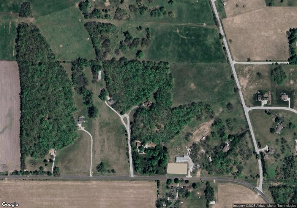
Map
Nearby Homes
- 701 NW 176th St
- 108 Cedar St
- 103 Cedar St
- 702 Quincy Blvd
- 0000 Highway 169
- 1.77 Acres Highway 169
- 532 Maple Ave
- 3 Carver Place
- 523 Hawthorne St
- 508 Whitetail Ct
- 500 Blackhawke Dr
- 510 Whitetail Ct
- 502 Blackhawke Dr
- 504 Blackhawke Dr
- 506 Blackhawke Dr
- 508 Blackhawke Dr
- 604 Blackhawke Dr
- 601 Rock Bridge Ct
- 751 NE 172nd St
- 503 6 St
- 17205 Philip Dr
- 17300 Philip Dr
- 1220 Kk Hwy
- 1220 County Road Kk
- 17210 Thomas Lane Rd
- 823 Kk Hwy
- 823 County Road Kk
- 1410 County Road Kk
- 820 NW 173rd Ct
- 17422 Thomas Lane Rd
- 819 NW 173rd Ct
- 17214 Thomas Lane Rd
- 17425 Thomas Lane Rd
- 800 NW 173rd Ct
- 17205 Thomas Lane Rd
- 17420 Thomas Lane Rd
- 740 NW 173rd Ct
- 721 NW 173rd Ct
- 720 NW 173rd Ct
- 17560 Smith Mill Rd