17302 SW Mount Adams Loop Powell Butte, OR 97753
Estimated Value: $1,817,188
3
Beds
4
Baths
4,311
Sq Ft
$422/Sq Ft
Est. Value
About This Home
This home is located at 17302 SW Mount Adams Loop, Powell Butte, OR 97753 and is currently estimated at $1,817,188, approximately $421 per square foot. 17302 SW Mount Adams Loop is a home located in Crook County with nearby schools including Crooked River Elementary School, Crook County Middle School, and Crook County High School.
Ownership History
Date
Name
Owned For
Owner Type
Purchase Details
Closed on
Apr 14, 2022
Sold by
Luman David C
Bought by
Top Gun Resources
Current Estimated Value
Purchase Details
Closed on
Oct 27, 2014
Sold by
Williams Kenneth R and Williams Susan T
Bought by
Luman David C and Luman Deanna P
Home Financials for this Owner
Home Financials are based on the most recent Mortgage that was taken out on this home.
Original Mortgage
$500,000
Interest Rate
3.12%
Mortgage Type
Adjustable Rate Mortgage/ARM
Create a Home Valuation Report for This Property
The Home Valuation Report is an in-depth analysis detailing your home's value as well as a comparison with similar homes in the area
Home Values in the Area
Average Home Value in this Area
Purchase History
| Date | Buyer | Sale Price | Title Company |
|---|---|---|---|
| Top Gun Resources | $300,000 | None Listed On Document | |
| Luman David C | $860,000 | First American |
Source: Public Records
Mortgage History
| Date | Status | Borrower | Loan Amount |
|---|---|---|---|
| Previous Owner | Luman David C | $500,000 |
Source: Public Records
Tax History Compared to Growth
Tax History
| Year | Tax Paid | Tax Assessment Tax Assessment Total Assessment is a certain percentage of the fair market value that is determined by local assessors to be the total taxable value of land and additions on the property. | Land | Improvement |
|---|---|---|---|---|
| 2025 | $12,456 | $1,025,350 | -- | -- |
| 2024 | $12,157 | $995,490 | -- | -- |
| 2023 | $11,739 | $966,500 | $0 | $0 |
| 2022 | $11,373 | $938,350 | $0 | $0 |
| 2021 | $11,372 | $911,020 | $0 | $0 |
| 2020 | $11,058 | $884,487 | $0 | $0 |
| 2019 | $10,666 | $833,714 | $0 | $0 |
| 2018 | $10,397 | $833,714 | $0 | $0 |
| 2017 | $10,240 | $809,431 | $0 | $0 |
| 2016 | $8,757 | $683,863 | $0 | $0 |
| 2015 | $8,375 | $683,863 | $0 | $0 |
| 2013 | -- | $644,607 | $0 | $0 |
Source: Public Records
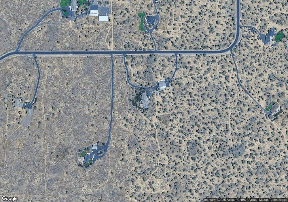
Map
Nearby Homes
- 0 Talarus Tr
- 13501 SW Riggs Rd
- 11039 SW Ranch Rd
- 11705 SW Shumway Rd
- 8385 SW Copley Rd
- 3068 SW Reif Rd
- 9280 SW Copley Rd
- 13689 SW Bussett Rd
- 0 SW Reif Rd Unit 220210897
- 8956 SW Yahooskin Dr
- 165 SW Bent Loop
- 13507 SW Shumway Rd
- 1814 Remington Ranch Dr
- 13680 SW Rust Bucket Rd
- 12855 SW Ayres Ln
- 502 SW Bent Loop
- 14427 SW Alfalfa Rd Unit 10
- 0 SW Red Cloud Rd Unit 1356 220203006
- 7006 SW Joshua Ct
- 6904 SW Joshua Ct
- 17302 SW Mt Adams Loop
- 0 SW Mt Adams Loop Unit 201810536
- 0 SW Mt Adams Loop Unit 49-Lo 202000701
- 17446 SW Mount Adams Loop
- 17697 SW Mount Adams Loop
- 17750 SW Mount Adams Loop
- 17112 SW Mount Adams Loop
- 18444 SW Mount Adams Loop
- 16962 SW Mount Adams Loop
- 17738 SW Mount Adams Loop
- 18222 SW Mount Adams Loop
- 0 SW Mount Adams Loop
- 17000 SW Mount Adams Loop
- 16901 SW Mount Adams Loop
- 17610 Mt Hood Dr
- 16862 SW Mount Adams Loop
- 16862 SW Mt Adams Loop
- 18111 SW Mount Adams Loop
- 18030 SW Mount Adams Loop
- 16806 SW Mount Adams Loop