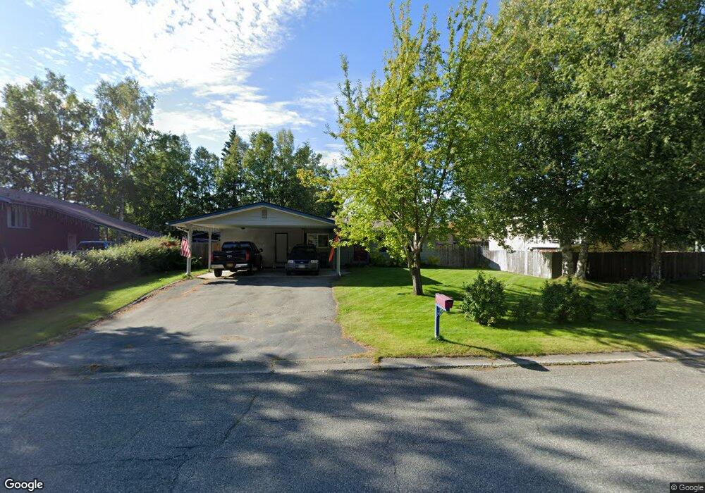
1731 Cara Loop Anchorage, AK 99515
Old Seward-Oceanview NeighborhoodEstimated Value: $287,000 - $460,000
3
Beds
2
Baths
1,409
Sq Ft
$268/Sq Ft
Est. Value
About This Home
This home is located at 1731 Cara Loop, Anchorage, AK 99515 and is currently estimated at $377,041, approximately $267 per square foot. 1731 Cara Loop is a home located in Anchorage Municipality with nearby schools including Ocean View Elementary School, Goldenview Middle School, and South Anchorage High School.
Ownership History
Date
Name
Owned For
Owner Type
Purchase Details
Closed on
Jun 28, 2002
Sold by
Akers Charles J and Akers Matilda C
Bought by
Hasenstaub Andrew S and Hasenstaub Vickie G
Current Estimated Value
Home Financials for this Owner
Home Financials are based on the most recent Mortgage that was taken out on this home.
Original Mortgage
$154,777
Outstanding Balance
$63,744
Interest Rate
6.86%
Mortgage Type
FHA
Estimated Equity
$313,297
Purchase Details
Closed on
Oct 24, 1996
Sold by
White Jeanette T and Somers Jeanette Theresa
Bought by
Akers Charles J and Akers Matilda C
Home Financials for this Owner
Home Financials are based on the most recent Mortgage that was taken out on this home.
Original Mortgage
$129,780
Interest Rate
8.3%
Mortgage Type
VA
Create a Home Valuation Report for This Property
The Home Valuation Report is an in-depth analysis detailing your home's value as well as a comparison with similar homes in the area
Home Values in the Area
Average Home Value in this Area
Purchase History
| Date | Buyer | Sale Price | Title Company |
|---|---|---|---|
| Hasenstaub Andrew S | -- | -- | |
| Akers Charles J | -- | -- |
Source: Public Records
Mortgage History
| Date | Status | Borrower | Loan Amount |
|---|---|---|---|
| Open | Hasenstaub Andrew S | $154,777 | |
| Previous Owner | Akers Charles J | $129,780 |
Source: Public Records
Tax History
| Year | Tax Paid | Tax Assessment Tax Assessment Total Assessment is a certain percentage of the fair market value that is determined by local assessors to be the total taxable value of land and additions on the property. | Land | Improvement |
|---|---|---|---|---|
| 2025 | $1,545 | $340,000 | $100,400 | $239,600 |
| 2024 | $1,545 | $320,700 | $100,400 | $220,300 |
| 2023 | $4,935 | $289,800 | $100,400 | $189,400 |
| 2022 | $1,465 | $287,000 | $100,400 | $186,600 |
| 2021 | $4,883 | $271,000 | $100,400 | $170,600 |
| 2020 | $1,111 | $266,500 | $100,400 | $166,100 |
| 2019 | $1,155 | $270,600 | $100,400 | $170,200 |
| 2018 | $1,143 | $269,700 | $100,400 | $169,300 |
| 2017 | $1,557 | $269,400 | $95,700 | $173,700 |
| 2016 | $3,242 | $265,600 | $95,700 | $169,900 |
| 2015 | $3,242 | $254,200 | $95,700 | $158,500 |
| 2014 | $3,242 | $241,000 | $81,300 | $159,700 |
Source: Public Records
Map
Nearby Homes
- 1548 Cara Loop Unit 5B
- 12631 Tanada Loop
- 2103 Tributary Cir
- 12521 Tanada Loop
- 12636 Silver Fox Ln
- 13051 Sues Way
- 1270 Snow Fox Ln Unit 1
- 2241 Sues Way
- 2311 Sues Way
- 2430 Legacy Dr
- 12438 Silver Fox Ln Unit 3
- 13730 Sunset View St
- 13410 Windrush Cir
- 13540 Baywind Dr
- 12900 Monterey Cir
- 12901 Monterey Cir
- 2440 Cleo Ave
- 2860 Seafarer Loop
- 12113 Rolling Meadow Cir
- 13540 Seachant Cir
Your Personal Tour Guide
Ask me questions while you tour the home.