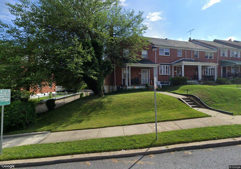
1731 Ingram Rd Baltimore, MD 21239
Perring Loch NeighborhoodEstimated Value: $212,541 - $273,000
Studio
2
Baths
1,280
Sq Ft
$190/Sq Ft
Est. Value
About This Home
This home is located at 1731 Ingram Rd, Baltimore, MD 21239 and is currently estimated at $242,771, approximately $189 per square foot. 1731 Ingram Rd is a home located in Baltimore City with nearby schools including Northwood Elementary School, Booker T. Washington Middle School, and Paul Laurence Dunbar High School.
Ownership History
Date
Name
Owned For
Owner Type
Purchase Details
Closed on
Mar 22, 2006
Sold by
M & P Baltimore Properties
Bought by
Jones Betty and Brewington Sheila
Current Estimated Value
Home Financials for this Owner
Home Financials are based on the most recent Mortgage that was taken out on this home.
Original Mortgage
$137,600
Outstanding Balance
$78,225
Interest Rate
6.27%
Mortgage Type
Purchase Money Mortgage
Estimated Equity
$164,547
Purchase Details
Closed on
Nov 23, 2005
Sold by
Federal Home Loan Mortgage Corporation
Bought by
M & P Baltimore Properties and #7 Llc
Purchase Details
Closed on
Apr 18, 2005
Sold by
Robinson Shirley M
Bought by
Federal Home Loan Mortgage Corporation and Corporation
Create a Home Valuation Report for This Property
The Home Valuation Report is an in-depth analysis detailing your home's value as well as a comparison with similar homes in the area
Home Values in the Area
Average Home Value in this Area
Purchase History
| Date | Buyer | Sale Price | Title Company |
|---|---|---|---|
| Jones Betty | $172,000 | -- | |
| M & P Baltimore Properties | $101,037 | -- | |
| Federal Home Loan Mortgage Corporation | $84,050 | -- |
Source: Public Records
Mortgage History
| Date | Status | Borrower | Loan Amount |
|---|---|---|---|
| Open | Jones Betty | $137,600 | |
| Closed | Jones Betty | $34,400 |
Source: Public Records
Tax History
| Year | Tax Paid | Tax Assessment Tax Assessment Total Assessment is a certain percentage of the fair market value that is determined by local assessors to be the total taxable value of land and additions on the property. | Land | Improvement |
|---|---|---|---|---|
| 2025 | $3,107 | $157,200 | -- | -- |
| 2024 | $3,107 | $144,200 | $36,000 | $108,200 |
| 2023 | $3,022 | $140,933 | $0 | $0 |
| 2022 | $2,949 | $137,667 | $0 | $0 |
| 2021 | $3,172 | $134,400 | $36,000 | $98,400 |
| 2020 | $2,893 | $134,400 | $36,000 | $98,400 |
| 2019 | $2,879 | $134,400 | $36,000 | $98,400 |
| 2018 | $2,923 | $143,900 | $36,000 | $107,900 |
| 2017 | $2,836 | $139,133 | $0 | $0 |
| 2016 | $2,465 | $134,367 | $0 | $0 |
| 2015 | $2,465 | $129,600 | $0 | $0 |
| 2014 | $2,465 | $129,600 | $0 | $0 |
Source: Public Records
Map
Nearby Homes
- 1708 Hartsdale Rd
- 1814 Winford Rd
- 1647 Stonewood Rd
- 1607 Stonewood Rd
- 2318 Ivy Ave
- 5413 Hillen Rd
- 1705 Swansea Rd
- 2326 Ivy Ave
- 1662 E Cold Spring Ln
- 1808 Swansea Rd
- 1644 E Cold Spring Ln
- 2203 Southern Ave
- 4929 Herring Run Dr
- 1516 E Cold Spring Ln
- 2014 Crestview Rd
- 1903 Ramblewood Rd
- 4308 Mainfield Ave
- 1656 Ramblewood Rd
- 1632 Northwick Rd
- 1519 Northgate Rd
- 1729 Ingram Rd
- 1727 Ingram Rd
- 1801 Ingram Rd
- 1725 Ingram Rd
- 1803 Ingram Rd
- 1723 Ingram Rd
- 1805 Ingram Rd
- 1721 Ingram Rd
- 1807 Ingram Rd
- 1724 Hartsdale Rd
- 1719 Ingram Rd
- 1722 Hartsdale Rd
- 1726 Hartsdale Rd
- 1720 Hartsdale Rd
- 1728 Hartsdale Rd
- 1718 Hartsdale Rd
- 1730 Hartsdale Rd
- 1717 Ingram Rd
- 1802 Ingram Rd
- 1732 Hartsdale Rd
Your Personal Tour Guide
Ask me questions while you tour the home.