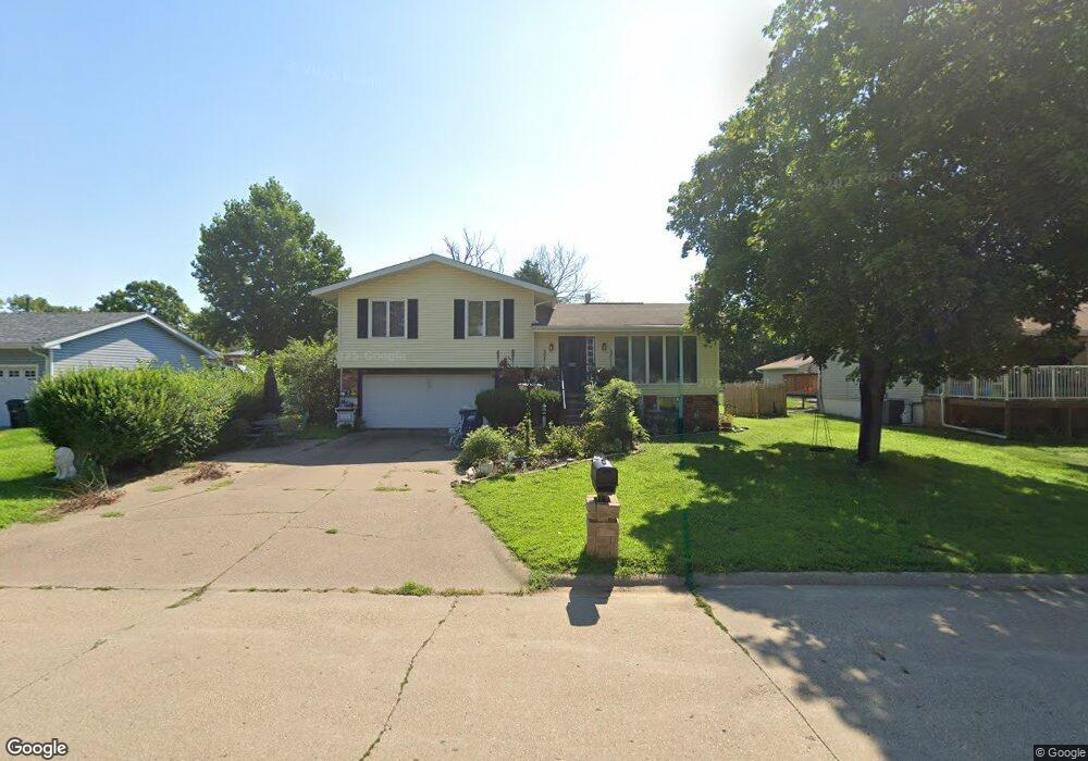
1731 Pearlview Ct Muscatine, IA 52761
Estimated Value: $175,000 - $220,247
3
Beds
2
Baths
1,218
Sq Ft
$168/Sq Ft
Est. Value
About This Home
This home is located at 1731 Pearlview Ct, Muscatine, IA 52761 and is currently estimated at $204,062, approximately $167 per square foot. 1731 Pearlview Ct is a home located in Muscatine County with nearby schools including McKinley Elementary School, Susan Clark Junior High School, and Muscatine High School.
Ownership History
Date
Name
Owned For
Owner Type
Purchase Details
Closed on
Dec 15, 2023
Sold by
Yocom Michael D and Yocom Sharon E
Bought by
Steinke Donald J
Current Estimated Value
Home Financials for this Owner
Home Financials are based on the most recent Mortgage that was taken out on this home.
Original Mortgage
$152,290
Outstanding Balance
$149,762
Interest Rate
7.5%
Mortgage Type
New Conventional
Estimated Equity
$54,300
Purchase Details
Closed on
Oct 5, 2022
Sold by
Yocom Mary A
Bought by
Yocom Michael D
Create a Home Valuation Report for This Property
The Home Valuation Report is an in-depth analysis detailing your home's value as well as a comparison with similar homes in the area
Home Values in the Area
Average Home Value in this Area
Purchase History
| Date | Buyer | Sale Price | Title Company |
|---|---|---|---|
| Steinke Donald J | $157,000 | None Listed On Document | |
| Yocom Michael D | -- | -- |
Source: Public Records
Mortgage History
| Date | Status | Borrower | Loan Amount |
|---|---|---|---|
| Open | Steinke Donald J | $152,290 |
Source: Public Records
Tax History Compared to Growth
Tax History
| Year | Tax Paid | Tax Assessment Tax Assessment Total Assessment is a certain percentage of the fair market value that is determined by local assessors to be the total taxable value of land and additions on the property. | Land | Improvement |
|---|---|---|---|---|
| 2025 | $3,748 | $206,140 | $39,400 | $166,740 |
| 2024 | $3,748 | $206,740 | $39,400 | $167,340 |
| 2023 | $3,572 | $205,195 | $39,411 | $165,784 |
| 2022 | $3,152 | $167,430 | $37,180 | $130,250 |
| 2021 | $3,152 | $163,420 | $37,180 | $126,240 |
| 2020 | $3,110 | $163,420 | $37,180 | $126,240 |
| 2019 | $3,098 | $148,730 | $0 | $0 |
| 2018 | $3,048 | $148,540 | $0 | $0 |
| 2017 | $3,048 | $141,990 | $0 | $0 |
| 2016 | $3,014 | $141,990 | $0 | $0 |
| 2015 | $3,014 | $133,850 | $0 | $0 |
| 2014 | $2,850 | $133,850 | $0 | $0 |
Source: Public Records
Map
Nearby Homes
- 2109 Americana Ave
- 1619 Devitt Ave
- 241 Dillaway St
- PARCEL ID 0834280023 Dillaway St
- 1617 W Acre Dr
- 1506 Buell St
- 602 W Fulliam Ave
- 518 Roscoe Ave
- 2106 Clarabek St
- 2108 Clarabek St
- 2018 W Bay Dr
- 1143 Logan St
- 2207 Lucas St
- 208 Fletcher Ave
- CEDAR Plaza Parcel
- 310 Wood Creek Ln
- 35 Colony Dr
- 297 Burnside Ave
- 0 High Street Parcel
- 836 Newell Ave
- 1727 Pearlview Ct
- 1735 Pearlview Ct
- 2108 W Fulliam Ave
- 1723 Pearlview Ct
- 2106 W Fulliam Ave
- 2202 W Fulliam Ave
- 0 W Fulliam Ave
- 1719 Pearlview Ct
- 1726 Pearlview Ct
- 2014 W Fulliam Ave
- 1734 Timberline Dr
- 1722 Pearlview Ct
- 2206 W Fulliam Ave
- 1730 Timberline Dr
- 1715 Pearlview Ct
- 2103 W Fulliam Ave
- 1718 Pearlview Ct
- 2203 W Fulliam Ave
- 2015 W Fulliam Ave
- 1726 Timberline Dr