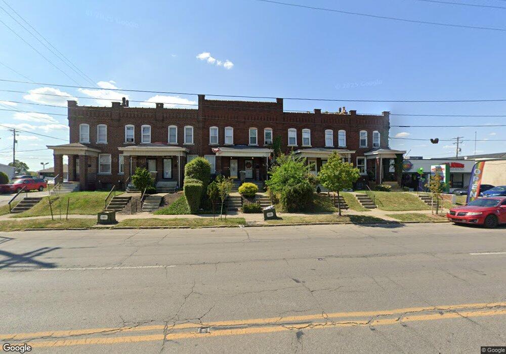
1731 S High St Columbus, OH 43207
Merion Village NeighborhoodEstimated Value: $101,000 - $160,000
2
Beds
1
Bath
965
Sq Ft
$139/Sq Ft
Est. Value
About This Home
This home is located at 1731 S High St, Columbus, OH 43207 and is currently estimated at $133,784, approximately $138 per square foot. 1731 S High St is a home located in Franklin County with nearby schools including Southwood Elementary School, South High School, and Saint Mary School German Village .
Ownership History
Date
Name
Owned For
Owner Type
Purchase Details
Closed on
Sep 28, 2018
Sold by
Zubovich Carol J and Zubovich Joseph J
Bought by
Viola Rentals Llc
Current Estimated Value
Purchase Details
Closed on
Jul 1, 2005
Sold by
Zubovich Matthew and Zubovich Lisa M
Bought by
Zubovich Joseph J and Zubovich Carol J
Purchase Details
Closed on
Feb 25, 2004
Sold by
Estate Of Frank A Zubovich
Bought by
Zubovich Matthew
Purchase Details
Closed on
Oct 3, 1996
Sold by
Morbitzer Steven M
Bought by
Frank A Zubovich
Purchase Details
Closed on
Mar 11, 1994
Create a Home Valuation Report for This Property
The Home Valuation Report is an in-depth analysis detailing your home's value as well as a comparison with similar homes in the area
Home Values in the Area
Average Home Value in this Area
Purchase History
| Date | Buyer | Sale Price | Title Company |
|---|---|---|---|
| Viola Rentals Llc | $26,000 | Associates Title Inc | |
| Zubovich Joseph J | -- | -- | |
| Zubovich Matthew | -- | -- | |
| Frank A Zubovich | $29,000 | -- | |
| -- | $9,000 | -- |
Source: Public Records
Tax History Compared to Growth
Tax History
| Year | Tax Paid | Tax Assessment Tax Assessment Total Assessment is a certain percentage of the fair market value that is determined by local assessors to be the total taxable value of land and additions on the property. | Land | Improvement |
|---|---|---|---|---|
| 2024 | $791 | $17,260 | $2,840 | $14,420 |
| 2023 | $781 | $17,255 | $2,835 | $14,420 |
| 2022 | $813 | $15,300 | $2,910 | $12,390 |
| 2021 | $815 | $15,300 | $2,910 | $12,390 |
| 2020 | $816 | $15,300 | $2,910 | $12,390 |
| 2019 | $827 | $13,300 | $2,520 | $10,780 |
| 2018 | $807 | $13,300 | $2,520 | $10,780 |
| 2017 | $786 | $13,300 | $2,520 | $10,780 |
| 2016 | $765 | $11,550 | $2,520 | $9,030 |
| 2015 | $695 | $11,550 | $2,520 | $9,030 |
| 2014 | $696 | $11,550 | $2,520 | $9,030 |
| 2013 | $343 | $11,550 | $2,520 | $9,030 |
Source: Public Records
Map
Nearby Homes
- 59 E Innis Ave
- 92 E Innis Ave
- 129 E Hinman Ave
- 27 W Welch Ave
- 1583 S 4th St
- 160 E Barthman Ave
- 1808 S 6th St Unit 810
- 158 E Morrill Ave
- 1543 S 4th St Unit 1543
- 43 W Markison Ave
- 1542 S 4th St Unit 1542
- 73-75 E Markison Ave
- 1534 S 4th St Unit 1536
- 1756 Bruck St
- 255 E Woodrow Ave
- 1563 S 6th St
- 259 Hinkle Ave
- 238 E Barthman Ave
- 1437 S High St Unit 439
- 220 E Welch Ave
- 1727 S High St
- 1729 S High St
- 1725 S High St
- 1733 S High St
- 1721 S High St
- 1735 S High St
- 1737 S High St
- 1739 S High St
- 1717 S High St
- 1743 S High St
- 1730 S High St
- 31 W Innis Ave
- 1214 E Innis Ave
- 1720 S High St
- 12 E Innis Ave
- 1714 S High St
- 1752 S High St
- 1710 S High St
- 1690 S High St
- 17 E Innis Ave Unit 19