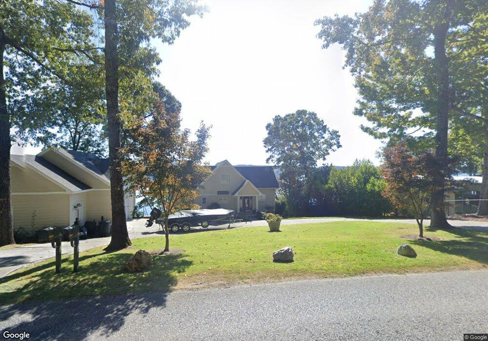
17310 Highway 42 Shelby, AL 35143
South Shelby NeighborhoodEstimated Value: $609,000 - $744,116
--
Bed
3
Baths
2,673
Sq Ft
$252/Sq Ft
Est. Value
About This Home
This home is located at 17310 Highway 42, Shelby, AL 35143 and is currently estimated at $672,529, approximately $251 per square foot. 17310 Highway 42 is a home located in Shelby County with nearby schools including Shelby Elementary School, Columbiana Middle School, and Shelby County High School.
Ownership History
Date
Name
Owned For
Owner Type
Purchase Details
Closed on
Jun 8, 2009
Sold by
Buckner Mark A and Buckner Beth A
Bought by
Wyatt Jessie Eugene and Wyatt Judy H
Current Estimated Value
Purchase Details
Closed on
May 3, 2006
Sold by
Allen Richard L
Bought by
Buckner Mark A and Buckner Beth A
Home Financials for this Owner
Home Financials are based on the most recent Mortgage that was taken out on this home.
Original Mortgage
$275,200
Outstanding Balance
$158,288
Interest Rate
6.28%
Mortgage Type
Fannie Mae Freddie Mac
Estimated Equity
$514,241
Purchase Details
Closed on
Nov 5, 1998
Sold by
Patrick Calvin and Patrick Sara Carolyn
Bought by
Allen Richard L
Purchase Details
Closed on
Jul 6, 1998
Sold by
Pate Donald H and Pate Wanda R
Bought by
Patrick Calvin and Patrick Carolyn
Create a Home Valuation Report for This Property
The Home Valuation Report is an in-depth analysis detailing your home's value as well as a comparison with similar homes in the area
Home Values in the Area
Average Home Value in this Area
Purchase History
| Date | Buyer | Sale Price | Title Company |
|---|---|---|---|
| Wyatt Jessie Eugene | $435,000 | None Available | |
| Buckner Mark A | $344,000 | None Available | |
| Allen Richard L | $55,000 | Cahaba Title Inc | |
| Patrick Calvin | -- | -- |
Source: Public Records
Mortgage History
| Date | Status | Borrower | Loan Amount |
|---|---|---|---|
| Open | Buckner Mark A | $275,200 |
Source: Public Records
Tax History Compared to Growth
Tax History
| Year | Tax Paid | Tax Assessment Tax Assessment Total Assessment is a certain percentage of the fair market value that is determined by local assessors to be the total taxable value of land and additions on the property. | Land | Improvement |
|---|---|---|---|---|
| 2024 | $2,846 | $64,680 | $0 | $0 |
| 2023 | -- | $60,780 | $0 | $0 |
| 2022 | $0 | $54,500 | $0 | $0 |
| 2021 | $0 | $48,620 | $0 | $0 |
| 2020 | $0 | $45,120 | $0 | $0 |
| 2019 | $1,803 | $44,620 | $0 | $0 |
| 2017 | $1,803 | $41,920 | $0 | $0 |
| 2015 | $1,652 | $38,480 | $0 | $0 |
| 2014 | $1,616 | $37,660 | $0 | $0 |
Source: Public Records
Map
Nearby Homes
- 17016 Highway 42
- 1035 Lake Dr
- 156 Wallace Dr
- 3753 County Road 42 Unit 1
- 16350 County Road 42
- 511 Wallace Dr
- 15679 Highway 42
- 770 Gallops Ln
- 89 Hall Cir
- 6948 Highway 71
- 19819 River Dr
- 914 Paradise Point Dr Unit 14
- 47 Conn Cir
- 451 Paradise Point Dr
- 0 Vick Ln Unit 21416150
- 3015 Talladega Springs Rd
- 289 Moonlight Bay
- 250 L And m Trace
- 234 L And m Trace
- 440 Hollybrook Rd
- 17310 Highway 42
- 17296 Highway 42
- 17330 Highway 42
- 17282 Highway 42
- 17282 Highway 42
- 17282 Highway 42 Unit 12
- 17282 Highway 42
- 17282 Highway 42 Unit 12
- 17340 Highway 42
- 17272 Highway 42
- 17272 Highway 42
- 17350 Highway 42
- 17350 County Road 42
- 17388 Highway 42
- 98 Hwy 42
- 17220 County Road 42
- 17220 Highway 42
- 17400 County Road 42
- 17400 Highway 42
- 17400 Highway 42