Estimated Value: $227,000 - $266,000
3
Beds
2
Baths
1,795
Sq Ft
$137/Sq Ft
Est. Value
About This Home
This home is located at 17311 Highway 1061, Amite, LA 70422 and is currently estimated at $245,889, approximately $136 per square foot. 17311 Highway 1061 is a home located in Tangipahoa Parish with nearby schools including Chesbrough Elementary School, Jewel M. Sumner Middle School, and Jewel M. Sumner High School.
Ownership History
Date
Name
Owned For
Owner Type
Purchase Details
Closed on
Sep 16, 2009
Sold by
Raynor Robert Roy and Raynor Roberta F
Bought by
Schouest Olite P
Current Estimated Value
Purchase Details
Closed on
Aug 2, 2005
Sold by
Phares Robin M
Bought by
Raynor Robert R and Raynor Roberta Ff
Purchase Details
Closed on
Jun 8, 2005
Sold by
Russell Linnie H
Bought by
Colmac No 2 Inc
Create a Home Valuation Report for This Property
The Home Valuation Report is an in-depth analysis detailing your home's value as well as a comparison with similar homes in the area
Home Values in the Area
Average Home Value in this Area
Purchase History
| Date | Buyer | Sale Price | Title Company |
|---|---|---|---|
| Schouest Olite P | $125,000 | None Available | |
| Raynor Robert R | $28,000 | Legal Title Llc | |
| Colmac No 2 Inc | $294 | None Available |
Source: Public Records
Tax History Compared to Growth
Tax History
| Year | Tax Paid | Tax Assessment Tax Assessment Total Assessment is a certain percentage of the fair market value that is determined by local assessors to be the total taxable value of land and additions on the property. | Land | Improvement |
|---|---|---|---|---|
| 2024 | -- | $17,331 | $3,016 | $14,315 |
| 2023 | $0 | $17,108 | $2,793 | $14,315 |
| 2022 | $1,320 | $17,108 | $2,793 | $14,315 |
| 2021 | $699 | $17,108 | $2,793 | $14,315 |
| 2020 | $1,405 | $17,108 | $2,793 | $14,315 |
| 2019 | $698 | $8,494 | $2,793 | $5,701 |
| 2018 | $689 | $8,494 | $2,793 | $5,701 |
| 2017 | $672 | $8,494 | $2,793 | $5,701 |
| 2016 | $689 | $8,494 | $2,793 | $5,701 |
| 2015 | $98 | $8,672 | $2,793 | $5,879 |
| 2014 | $100 | $8,672 | $2,793 | $5,879 |
Source: Public Records
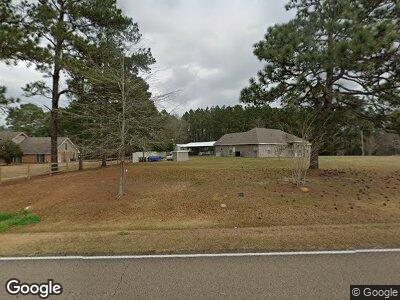
Map
Nearby Homes
- 62283 Chappepeela Ridge Rd
- 19181 Rolling Pines Rd
- 61180 Doe Run Dr
- 0 Russell Town Rd Unit 2506625
- 17049 Eastwood Dr
- 15182 Sterling Smith Rd
- 0 Miller Ln
- 0 S Big Creek Rd
- 0 E 16 Hwy Unit 2505793
- 0 E 16 Hwy Unit 2505794
- 0 E Hwy 16 Hwy Unit 2499947
- 0 E 16 Hwy Unit 2491321
- TBD Airport Rd
- 66395 Hwy 1058 None
- 66395 Louisiana 1058
- 16094 Highway 16
- 2.431 Acres Highway 16 None
- 2.431 Acres Highway 16
- 17311 Highway 1061
- 17311 Highway 1061
- 17285 Highway 1061
- 17285 Highway 1061
- 17285 Highway 1061
- 17337 Highway 1061
- 17337 Highway 1061
- 17414 Highway 1061
- 17292 Highway 1061
- 17285 Louisiana 1061
- 17361 Highway 1061
- 17361 Hwy 1061 None
- 17361 Louisiana 1061
- 17411 Highway 1061
- 17411 Highway 1061
- 17431 Highway 1061
- 17411 Louisiana 1061
- 64189 Alford Ln
- 18010 Highway 1061
- 63188 Andrew Bankston Rd