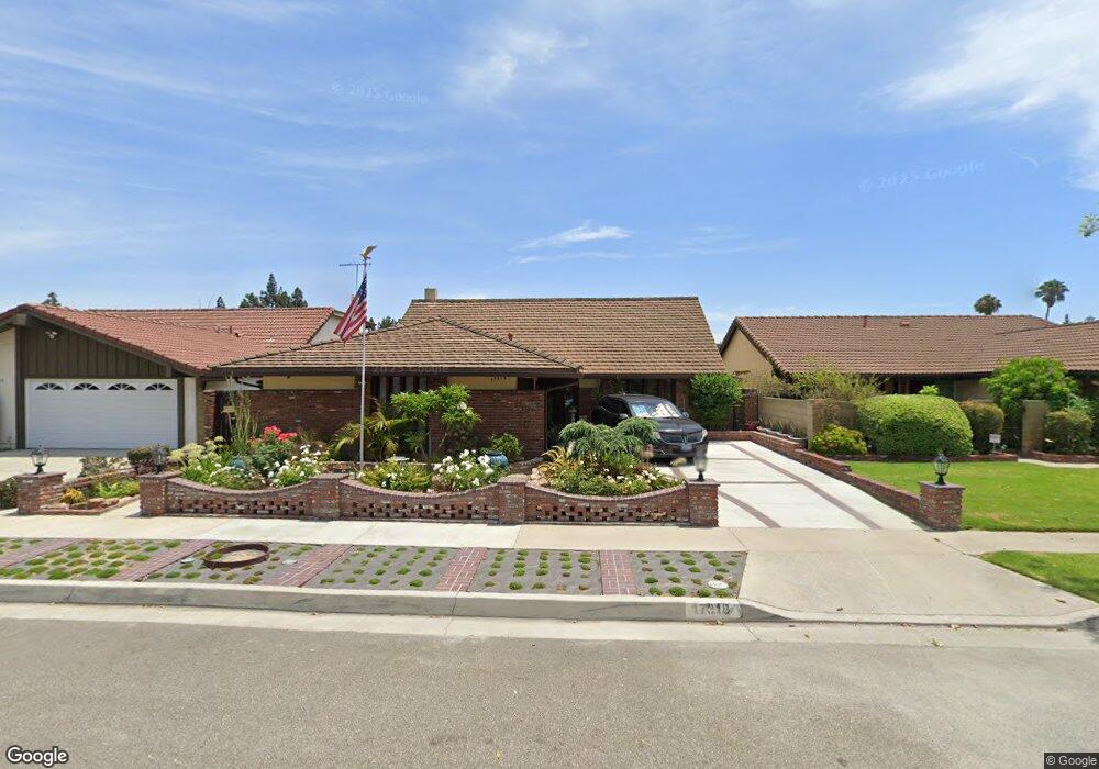
17318 Alfred Ave Cerritos, CA 90703
Estimated Value: $1,205,237 - $1,372,000
4
Beds
3
Baths
2,082
Sq Ft
$610/Sq Ft
Est. Value
About This Home
This home is located at 17318 Alfred Ave, Cerritos, CA 90703 and is currently estimated at $1,271,059, approximately $610 per square foot. 17318 Alfred Ave is a home located in Los Angeles County with nearby schools including Wittmann (Helen) Elementary School, Carmenita Middle School, and Gahr High School.
Ownership History
Date
Name
Owned For
Owner Type
Purchase Details
Closed on
Jun 5, 2013
Sold by
Ringwood Roy A
Bought by
Ringwood Roy A and Ringwood Diane
Current Estimated Value
Home Financials for this Owner
Home Financials are based on the most recent Mortgage that was taken out on this home.
Original Mortgage
$318,600
Interest Rate
3.32%
Mortgage Type
New Conventional
Purchase Details
Closed on
Feb 17, 2011
Sold by
Ringwood Roy Allan and Ringwood Marie Diane
Bought by
Ringwood Roy A and Ringwood Diane
Create a Home Valuation Report for This Property
The Home Valuation Report is an in-depth analysis detailing your home's value as well as a comparison with similar homes in the area
Home Values in the Area
Average Home Value in this Area
Purchase History
| Date | Buyer | Sale Price | Title Company |
|---|---|---|---|
| Ringwood Roy A | -- | First American Title Company | |
| Ringwood Roy A | -- | None Available |
Source: Public Records
Mortgage History
| Date | Status | Borrower | Loan Amount |
|---|---|---|---|
| Closed | Ringwood Roy A | $318,600 |
Source: Public Records
Tax History Compared to Growth
Tax History
| Year | Tax Paid | Tax Assessment Tax Assessment Total Assessment is a certain percentage of the fair market value that is determined by local assessors to be the total taxable value of land and additions on the property. | Land | Improvement |
|---|---|---|---|---|
| 2025 | $2,157 | $147,516 | $24,480 | $123,036 |
| 2024 | $2,157 | $144,624 | $24,000 | $120,624 |
| 2023 | $2,097 | $141,789 | $23,530 | $118,259 |
| 2022 | $2,062 | $139,010 | $23,069 | $115,941 |
| 2021 | $2,006 | $136,285 | $22,617 | $113,668 |
| 2019 | $1,960 | $132,246 | $21,948 | $110,298 |
| 2018 | $1,747 | $129,654 | $21,518 | $108,136 |
| 2016 | $1,610 | $120,853 | $20,684 | $100,169 |
| 2015 | $1,480 | $109,140 | $20,374 | $88,766 |
| 2014 | $1,460 | $107,003 | $19,975 | $87,028 |
Source: Public Records
Map
Nearby Homes
- 13010 Artesia Blvd
- 12567 Semora St
- 16822 Sierra Vista Way
- 12525 Semora St
- 16611 Shenandoah Ave
- 12417 Rose St
- 18006 Point Conception Place
- 12422 Cuesta Dr Unit 71
- 16429 Westbrook Ln
- 16308 Indian Creek Rd
- 13210 Sutton St
- 17103 Cortner Ave
- 13370 Holly Oak Cir
- 12356 Reva St
- 13044 Hedda Ln
- 0 Parcel: 7016-014-017 Ave Unit PW25183248
- 12161 Napoli Dr
- 12512 Sandycreek Ln
- 16329 Cherry Fall Ln
- 12360 Hedda Dr
- 17324 Alfred Ave
- 17314 Alfred Ave
- 17319 De Groot Place
- 17308 Alfred Ave
- 17328 Alfred Ave
- 17325 De Groot Place
- 17315 De Groot Place
- 17329 De Groot Place
- 17319 Alfred Ave
- 17325 Alfred Ave
- 17302 Alfred Ave
- 17315 Alfred Ave
- 17336 Alfred Ave
- 17329 Alfred Ave
- 17303 De Groot Place
- 17309 Alfred Ave
- 17343 De Groot Place
- 17337 Alfred Ave
- 17303 Alfred Ave
- 17318 De Groot Place