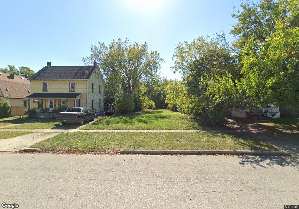
1732 E 29th St Lorain, OH 44055
Estimated Value: $80,000 - $102,000
3
Beds
1
Bath
960
Sq Ft
$95/Sq Ft
Est. Value
About This Home
This home is located at 1732 E 29th St, Lorain, OH 44055 and is currently estimated at $91,000, approximately $94 per square foot. 1732 E 29th St is a home located in Lorain County with nearby schools including Palm Elementary School, Southview Middle School, and Lorain High School.
Ownership History
Date
Name
Owned For
Owner Type
Purchase Details
Closed on
Jun 3, 2025
Sold by
Lorain County Land Reutilization Corpora
Bought by
Greater Cleveland Habitat For Humanity Inc
Current Estimated Value
Purchase Details
Closed on
Mar 25, 2016
Sold by
Lorain County Sheriff
Bought by
Lorain County Land Reutilization Corp
Purchase Details
Closed on
Jul 20, 2009
Sold by
Davis Jason E and Davis Gina M
Bought by
Great Homes For You Llc
Purchase Details
Closed on
Sep 29, 2003
Sold by
Citicorp Trust Bank Fsb
Bought by
Davis Jason E
Purchase Details
Closed on
Aug 19, 2003
Sold by
Ramos Daniel F and Madera Milagros
Bought by
Citicorp Trust Bank Fsb
Create a Home Valuation Report for This Property
The Home Valuation Report is an in-depth analysis detailing your home's value as well as a comparison with similar homes in the area
Home Values in the Area
Average Home Value in this Area
Purchase History
| Date | Buyer | Sale Price | Title Company |
|---|---|---|---|
| Greater Cleveland Habitat For Humanity Inc | -- | None Listed On Document | |
| Lorain County Land Reutilization Corp | -- | -- | |
| Great Homes For You Llc | -- | None Available | |
| Davis Jason E | $12,200 | Guardian Title | |
| Citicorp Trust Bank Fsb | $15,000 | Guardian |
Source: Public Records
Tax History
| Year | Tax Paid | Tax Assessment Tax Assessment Total Assessment is a certain percentage of the fair market value that is determined by local assessors to be the total taxable value of land and additions on the property. | Land | Improvement |
|---|---|---|---|---|
| 2024 | -- | -- | -- | -- |
| 2023 | -- | -- | -- | -- |
| 2022 | -- | -- | -- | -- |
| 2021 | -- | $1,300 | $1,300 | $0 |
| 2020 | $0 | $1,300 | $1,300 | $0 |
| 2019 | $0 | $1,300 | $1,300 | $0 |
| 2018 | $0 | $1,300 | $1,300 | $0 |
| 2017 | $103 | $3,470 | $3,470 | $0 |
| 2016 | $103 | $3,470 | $3,470 | $0 |
| 2015 | $207 | $3,470 | $3,470 | $0 |
| 2014 | $217 | $3,470 | $3,470 | $0 |
| 2013 | $205 | $3,470 | $3,470 | $0 |
Source: Public Records
Map
Nearby Homes
- 1829 E 33rd St
- 1685 E 36th St
- 1816 E 34th St
- 1924 E 33rd St
- 3885 Dale Ave
- 3323 Dallas Ave
- V/L Pearl Ave
- 3521 Omaha Ave
- 3946 Dunton Rd
- 2129 E 30th St
- 0 Canton Ave
- 4210 Seneca Ave
- 4137 Dunton Rd
- 4095 Laurel Rd
- 3011 Caroline Ave
- V/L Clinton Ave
- 3825 Canton Ave
- 510 E 25th St
- 2910 Caroline Ave
- 2217 E 32nd St
Your Personal Tour Guide
Ask me questions while you tour the home.