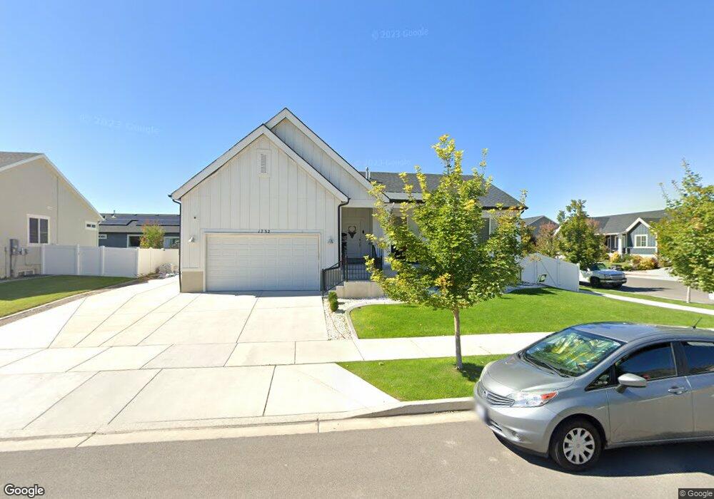
1732 S 570 W Provo, UT 84601
Franklin NeighborhoodEstimated Value: $598,000 - $714,000
5
Beds
3
Baths
3,237
Sq Ft
$203/Sq Ft
Est. Value
About This Home
This home is located at 1732 S 570 W, Provo, UT 84601 and is currently estimated at $656,708, approximately $202 per square foot. 1732 S 570 W is a home located in Utah County with nearby schools including Franklin Elementary School, Dixon Middle School, and Provo High School.
Ownership History
Date
Name
Owned For
Owner Type
Purchase Details
Closed on
Sep 29, 2022
Sold by
Mossman Boyd P
Bought by
Boyd P Mossman And Marvalee M Mossman Trust
Current Estimated Value
Purchase Details
Closed on
Nov 24, 2020
Sold by
Johnson Carson Dale and Johnson Shamri Ann
Bought by
Mossman Boyd P and Mossman Marvalee Maile
Purchase Details
Closed on
Jun 12, 2020
Sold by
Johnson Carson and Johnson Shamri
Bought by
Johnson Carson Dale and Johnson Shamri Ann
Purchase Details
Closed on
Mar 3, 2017
Sold by
Dr Horeton Inc
Bought by
Johnson Carson and Johnson Shamri
Home Financials for this Owner
Home Financials are based on the most recent Mortgage that was taken out on this home.
Original Mortgage
$329,910
Interest Rate
4.17%
Mortgage Type
Purchase Money Mortgage
Create a Home Valuation Report for This Property
The Home Valuation Report is an in-depth analysis detailing your home's value as well as a comparison with similar homes in the area
Home Values in the Area
Average Home Value in this Area
Purchase History
| Date | Buyer | Sale Price | Title Company |
|---|---|---|---|
| Boyd P Mossman And Marvalee M Mossman Trust | -- | -- | |
| Mossman Boyd P | -- | Juab Title & Abstract Co | |
| Johnson Carson Dale | -- | None Available | |
| Johnson Carson | -- | Cottonwood Title Ins Agency |
Source: Public Records
Mortgage History
| Date | Status | Borrower | Loan Amount |
|---|---|---|---|
| Previous Owner | Johnson Carson | $329,910 |
Source: Public Records
Tax History Compared to Growth
Tax History
| Year | Tax Paid | Tax Assessment Tax Assessment Total Assessment is a certain percentage of the fair market value that is determined by local assessors to be the total taxable value of land and additions on the property. | Land | Improvement |
|---|---|---|---|---|
| 2025 | $3,257 | $343,365 | $236,100 | $388,200 |
| 2024 | $3,257 | $320,595 | $0 | $0 |
| 2023 | $3,173 | $307,945 | $0 | $0 |
| 2022 | $3,246 | $317,570 | $0 | $0 |
| 2021 | $2,612 | $445,800 | $133,200 | $312,600 |
| 2020 | $2,204 | $352,600 | $115,800 | $236,800 |
| 2019 | $1,934 | $321,700 | $115,800 | $205,900 |
| 2018 | $1,704 | $287,600 | $108,600 | $179,000 |
| 2017 | $1,282 | $118,855 | $0 | $0 |
Source: Public Records
Map
Nearby Homes
- 588 W 1720 S
- 642 W 1870 S Unit 1046
- 1895 S 530 W Unit 1191
- Oakridge (Crawl) Plan at Osprey Towns
- 686 W 1920 S Unit 1024
- Dalton Plan at Osprey Towns
- Dumont Plan at Osprey Towns
- Millbrook (Crawl) Plan at Osprey Towns
- 661 W 1920 S Unit 1072
- 311 W 1610 S
- 655 W 1280 S
- 1095 S 500 W Unit 11
- 985 S 600 W
- 914 W 1150 S Unit 2
- 908 W 1150 S Unit 3
- 272 W 1020 S Unit B
- 966 S Freedom Blvd Unit 1
- 933 S Blvd W
- 239 S Meadow Dr Unit 10
- 131 S Meadow Dr Unit 20
- 1732 S 570 W Unit LOT121
- 1737 S 620 W Unit LOT230
- 1757 S 620 W Unit LOT229
- 606 W 1720 S Unit LOT231
- 1774 S 570 W Unit 119
- 1755 S 570 W
- 1779 S 620 W
- 1711 S 570 W
- 622 W 1720 S Unit LOT232
- 622 W 1720 S
- 1777 S 570 W Unit 111
- 549 W 1720 S
- 1688 S 570 W
- 1734 S 620 W Unit LOT221
- 1734 S 620 W
- 587 W 1660 S Unit 123
- 1792 S 570 W Unit LOT118
- 1754 S 620 W Unit LOT222
- 540 W 1770 S
- 1691 S 570 W Unit LOT107