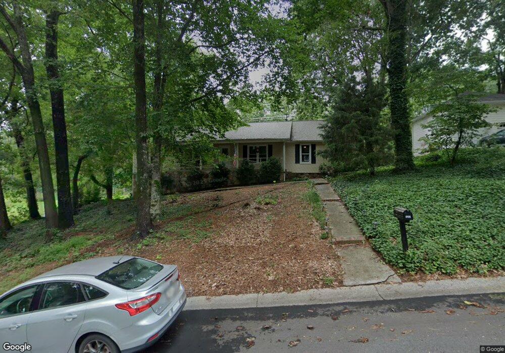
1732 Windsorbrooke Dr Unit 2 Marietta, GA 30062
East Cobb NeighborhoodEstimated Value: $473,887 - $582,000
3
Beds
2
Baths
2,088
Sq Ft
$255/Sq Ft
Est. Value
About This Home
This home is located at 1732 Windsorbrooke Dr Unit 2, Marietta, GA 30062 and is currently estimated at $533,222, approximately $255 per square foot. 1732 Windsorbrooke Dr Unit 2 is a home located in Cobb County with nearby schools including Murdock Elementary School, Dodgen Middle School, and Pope High School.
Ownership History
Date
Name
Owned For
Owner Type
Purchase Details
Closed on
Oct 18, 2001
Sold by
Smith James R
Bought by
Smith James R and Smith Lori B
Current Estimated Value
Home Financials for this Owner
Home Financials are based on the most recent Mortgage that was taken out on this home.
Original Mortgage
$142,000
Outstanding Balance
$52,981
Interest Rate
6.25%
Mortgage Type
New Conventional
Estimated Equity
$480,241
Purchase Details
Closed on
Aug 28, 1996
Sold by
Winkler Susan W
Bought by
Smith James R
Create a Home Valuation Report for This Property
The Home Valuation Report is an in-depth analysis detailing your home's value as well as a comparison with similar homes in the area
Home Values in the Area
Average Home Value in this Area
Purchase History
| Date | Buyer | Sale Price | Title Company |
|---|---|---|---|
| Smith James R | -- | -- | |
| Smith James R | $139,900 | -- |
Source: Public Records
Mortgage History
| Date | Status | Borrower | Loan Amount |
|---|---|---|---|
| Open | Smith James R | $142,000 | |
| Closed | Smith James R | $0 |
Source: Public Records
Tax History Compared to Growth
Tax History
| Year | Tax Paid | Tax Assessment Tax Assessment Total Assessment is a certain percentage of the fair market value that is determined by local assessors to be the total taxable value of land and additions on the property. | Land | Improvement |
|---|---|---|---|---|
| 2025 | $810 | $144,868 | $25,600 | $119,268 |
| 2024 | $813 | $144,868 | $25,600 | $119,268 |
| 2023 | $607 | $144,868 | $25,600 | $119,268 |
| 2022 | $723 | $114,936 | $24,000 | $90,936 |
| 2021 | $2,707 | $114,936 | $24,000 | $90,936 |
| 2020 | $2,707 | $114,936 | $24,000 | $90,936 |
| 2019 | $2,707 | $114,936 | $24,000 | $90,936 |
| 2018 | $2,621 | $111,032 | $19,200 | $91,832 |
| 2017 | $2,556 | $111,032 | $19,200 | $91,832 |
| 2016 | $2,093 | $89,780 | $15,200 | $74,580 |
| 2015 | $2,136 | $89,780 | $15,200 | $74,580 |
| 2014 | $1,698 | $69,596 | $0 | $0 |
Source: Public Records
Map
Nearby Homes
- 1771 Canton Hills Cir
- 2988 Nestle Creek Dr
- 2792 Craig Ct
- 1519 Brookcliff Cir
- 2726 Whitehurst Dr NE
- 3025 Bunker Hill Cir
- 2764 Brookcliff Landing
- 1686 N Cobb Pkwy
- 1677 Daffodil Dr
- 3402 Devoe Ct
- 3292 Holly Mill Ct
- 2674 Skylane Dr
- 1900 Holly Springs Rd NE
- 1670 Holly Springs Rd NE
- 3495 Mill Bridge Dr Unit 2
- 2197 Cedar Forks Dr Unit 1
- 3218 Holly Mill Run
- 1728 Windsorbrooke Dr
- 1724 Windsorbrooke Dr
- 1751 Windsorbrooke Dr
- 1751 Windsorbrooke Dr
- 1731 Windsorbrooke Dr
- 1774 Windsorbrooke Dr
- 1735 Windsorbrooke Dr
- 0 Windsorbrooke Dr Unit 7026192
- 0 Windsorbrooke Dr Unit 3011522
- 0 Windsorbrooke Dr Unit 8626122
- 0 Windsorbrooke Dr Unit 7499689
- 0 Windsorbrooke Dr
- 1727 Windsorbrooke Dr
- 1720 Windsorbrooke Dr
- 1749 Windsorbrooke Dr
- 1773 Windsorbrooke Dr
- 1741 Windsorbrooke Dr Unit 2
- 1786 Windsorbrooke Dr Unit 2
- 1723 Windsorbrooke Dr
- 1716 Windsorbrooke Dr