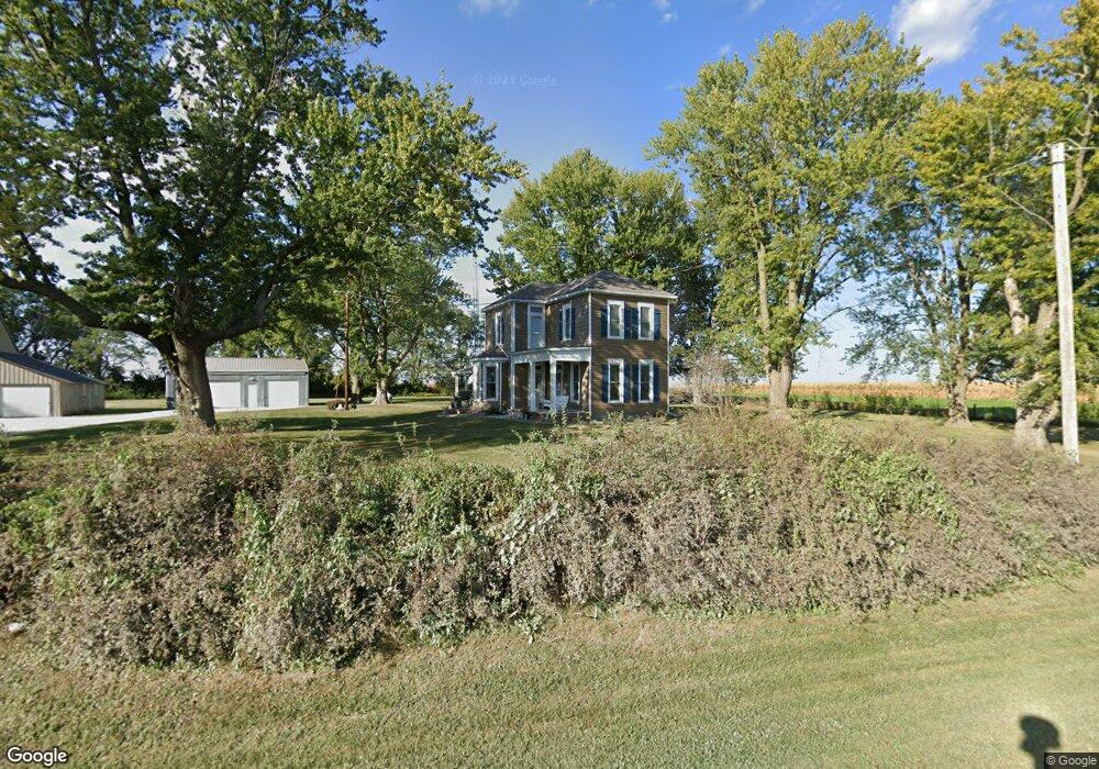
17325 Airport Rd Ottumwa, IA 52501
Estimated Value: $209,634 - $351,000
4
Beds
1
Bath
1,678
Sq Ft
$161/Sq Ft
Est. Value
About This Home
This home is located at 17325 Airport Rd, Ottumwa, IA 52501 and is currently estimated at $269,659, approximately $160 per square foot. 17325 Airport Rd is a home located in Wapello County with nearby schools including Eddyville-Blakesburg- Fremont Junior/Senior High School.
Create a Home Valuation Report for This Property
The Home Valuation Report is an in-depth analysis detailing your home's value as well as a comparison with similar homes in the area
Home Values in the Area
Average Home Value in this Area
Tax History Compared to Growth
Tax History
| Year | Tax Paid | Tax Assessment Tax Assessment Total Assessment is a certain percentage of the fair market value that is determined by local assessors to be the total taxable value of land and additions on the property. | Land | Improvement |
|---|---|---|---|---|
| 2025 | $1,464 | $158,670 | $30,820 | $127,850 |
| 2024 | $1,464 | $146,300 | $28,000 | $118,300 |
| 2023 | $1,374 | $146,300 | $28,000 | $118,300 |
| 2022 | $1,326 | $116,590 | $28,000 | $88,590 |
| 2021 | $1,440 | $104,960 | $28,000 | $76,960 |
| 2020 | $1,234 | $101,770 | $28,000 | $73,770 |
| 2019 | $1,200 | $98,070 | $0 | $0 |
| 2018 | $1,180 | $98,070 | $0 | $0 |
| 2017 | $1,180 | $98,070 | $0 | $0 |
| 2016 | $622 | $56,521 | $0 | $0 |
| 2015 | $632 | $56,521 | $0 | $0 |
| 2014 | $632 | $56,521 | $0 | $0 |
Source: Public Records
Map
Nearby Homes
- 0 150th Unit 6314578
- 18781 125 St
- 34 Pinehurst Cir
- 18781 125th St
- 32 Pinehurst Cir
- 324 N Harrison St
- 107 Sunflower Dr
- 104 Lowell Dr
- 000000 Whiskey Ridge
- 11995 Rutledge Rd
- 20462
- 627 Edwards Dr
- 20462 Co Hwy H27
- 301 N 9th St
- 74 Schwartz Dr
- 21065 Whiskey Ridge
- 10 Bell Dr
- 11652 Rutledge Rd
- 2620 Marilyn Rd
- 0 E Rochester Rd