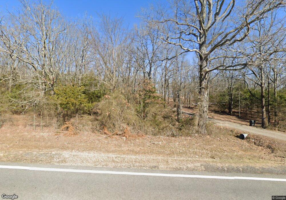
Estimated Value: $240,000 - $408,000
--
Bed
3
Baths
2,008
Sq Ft
$168/Sq Ft
Est. Value
About This Home
This home is located at 1733 Highway 31 N, Beebe, AR 72012 and is currently estimated at $338,344, approximately $168 per square foot. 1733 Highway 31 N is a home located in White County with nearby schools including Beebe Elementary School, Beebe Junior High School, and Beebe Middle School.
Ownership History
Date
Name
Owned For
Owner Type
Purchase Details
Closed on
Jun 10, 2009
Sold by
Alaniz John R and Alaniz Janice
Bought by
Rainbolt Clarissa
Current Estimated Value
Home Financials for this Owner
Home Financials are based on the most recent Mortgage that was taken out on this home.
Original Mortgage
$165,000
Interest Rate
4.83%
Mortgage Type
New Conventional
Purchase Details
Closed on
Aug 18, 2006
Sold by
Richey Dong G and Richey Gina
Bought by
Alaniz John R and Alaniz Janice
Home Financials for this Owner
Home Financials are based on the most recent Mortgage that was taken out on this home.
Original Mortgage
$232,000
Interest Rate
6.75%
Mortgage Type
New Conventional
Purchase Details
Closed on
Apr 14, 1999
Bought by
Richey Douglas G
Purchase Details
Closed on
Jun 1, 1992
Bought by
Cedar Rock Ranch Corp
Create a Home Valuation Report for This Property
The Home Valuation Report is an in-depth analysis detailing your home's value as well as a comparison with similar homes in the area
Home Values in the Area
Average Home Value in this Area
Purchase History
| Date | Buyer | Sale Price | Title Company |
|---|---|---|---|
| Rainbolt Clarissa | $255,000 | -- | |
| Alaniz John R | $232,000 | None Available | |
| Richey Douglas G | $200,000 | -- | |
| Cedar Rock Ranch Corp | -- | -- |
Source: Public Records
Mortgage History
| Date | Status | Borrower | Loan Amount |
|---|---|---|---|
| Closed | Rainbolt Clarissa | $165,000 | |
| Previous Owner | Alaniz John R | $232,000 |
Source: Public Records
Tax History Compared to Growth
Tax History
| Year | Tax Paid | Tax Assessment Tax Assessment Total Assessment is a certain percentage of the fair market value that is determined by local assessors to be the total taxable value of land and additions on the property. | Land | Improvement |
|---|---|---|---|---|
| 2025 | $2,074 | $50,950 | $4,990 | $45,960 |
| 2024 | $2,074 | $50,950 | $4,990 | $45,960 |
| 2023 | $2,075 | $50,950 | $4,990 | $45,960 |
| 2022 | $2,074 | $50,950 | $4,990 | $45,960 |
| 2021 | $2,074 | $50,950 | $4,990 | $45,960 |
| 2020 | $1,891 | $46,460 | $2,200 | $44,260 |
| 2019 | $1,892 | $46,460 | $2,200 | $44,260 |
| 2018 | $1,794 | $46,460 | $2,200 | $44,260 |
| 2017 | $1,518 | $46,460 | $2,200 | $44,260 |
| 2016 | $1,518 | $37,290 | $2,200 | $35,090 |
| 2015 | $1,380 | $33,900 | $1,780 | $32,120 |
| 2014 | $1,380 | $33,900 | $1,780 | $32,120 |
Source: Public Records
Map
Nearby Homes
- 139 Andrew Ln
- LOT 6 S Ashley Horton Ln
- LOT 8 S Ashley Horton Ln
- 113 Friendship Ln
- 131 Sandy Ford Rd
- 121 Donald Choate Rd
- 157 Sandy Ford Rd
- 00 Sandy Ford Rd
- 000 Louie Pruitt Rd
- 3689 Highway 267 S
- 661 Blue Hole Rd
- 3655 Highway 267 S
- 3830 Highway 267 S
- 136 Highway 267 Spur
- 980 S Highway 305
- 654 Red Hill Rd
- 2235 Highway 31 N
- 202 W Blake H Ln
- 0 Rosewood Subdivision
- 125 Starlight Ln
- 1704 Highway 31 N
- 1739 Highway 31 N
- 1735 Highway 31 N
- 1647 Highway 31 N
- 60 Liles Rd
- 40 Liles Rd
- 0 Rocky Branch Estates
- Lot 5 Rocky Branch Estates
- 1801 Highway 31 N
- 102 Oilwell Rd
- 1802 Highway 31 N
- 103 Oilwell Rd
- 45 Liles Rd
- 1602 Highway 31 N
- 1812 Highway 31 N
- 1814 Highway 31 N
- 1814 Highway 31 N
- 121 Oilwell Rd
- 181 Rocky Branch Rd
- 1823 Highway 31 N
